


More news on this day
A fast-moving wildfire known as the Hawk Fire has surged past 10,500 acres on the northwest edge of Reno, Nevada, driving large-scale evacuations, closing key highways, and disrupting travel across one of the region’s main north–south corridors at the height of the late-summer tourism season.
Get the latest news straight to your inbox!
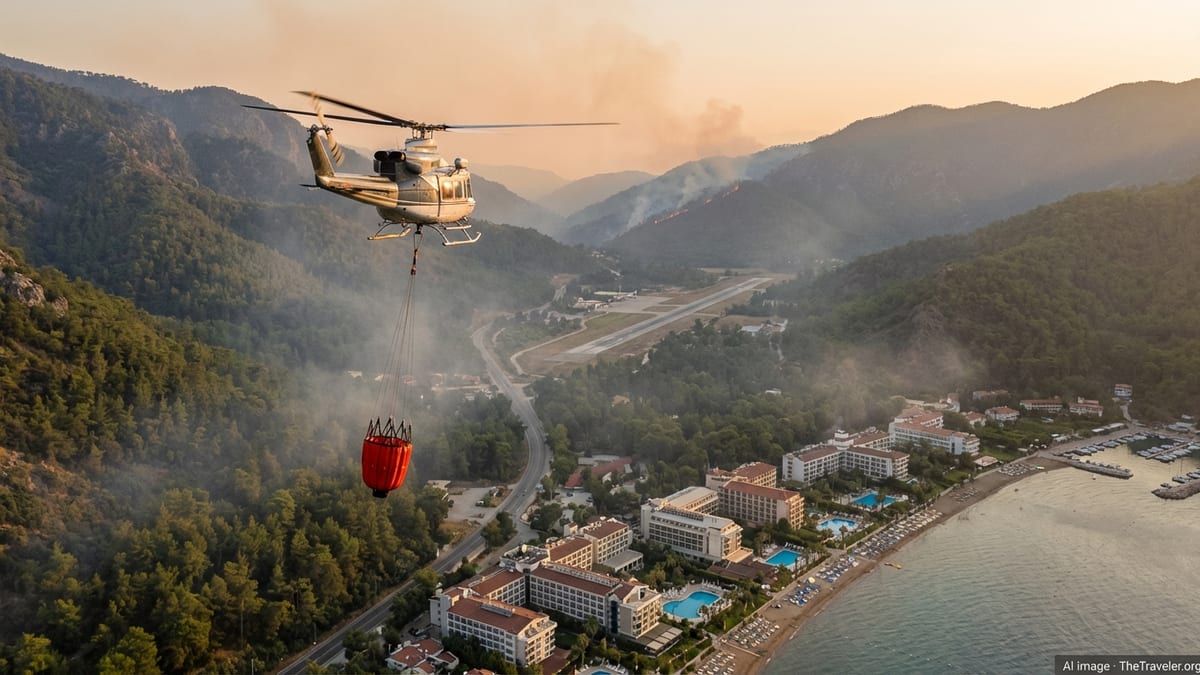
Fire Growth Near Reno’s Urban Edge
The Hawk Fire ignited on August 22 near Hawk Meadow Trail in the Somersett area northwest of Reno and quickly spread through dry brush and rugged foothills above the city, according to regional emergency updates. Publicly available incident summaries describe a wind-driven blaze racing across the Peavine Peak area, with low humidity and parched vegetation contributing to rapid expansion across steep terrain. ([emergencywashoe.com](https://www.emergencywashoe.com/fire/7150/?utm_source=openai))
By Saturday evening, mapping platforms cited in multiple news and data reports showed the fire at more than 10,500 acres, with some estimates placing the burned area at approximately 10,523 acres. Local emergency bulletins referenced a working size of roughly 10,500 acres on August 22, while subsequent national and regional coverage on August 23 continued to use the 10,500-acre benchmark as the fire’s footprint expanded across the hillsides north and west of Reno. ([emergencywashoe.com](https://www.emergencywashoe.com/fire/7127/?utm_source=openai))
County emergency operations reports describe a multi-agency response with more than 400 personnel assigned, including ground crews and aircraft tasked with structure protection and perimeter control in neighborhoods ringing the fire zone. Despite the effort, the incident has been characterized in public updates as zero percent contained at times, underscoring the volatility of the situation as winds shift along the Sierra Nevada front. ([emergencywashoe.com](https://www.emergencywashoe.com/fire/7127/?utm_source=openai))
The fire’s proximity to established communities, commercial areas, and the University of Nevada, Reno has drawn national attention, with published coverage noting that the blaze has approached key parts of the city’s northwest side and nearby campus facilities. Imagery shared in broadcast and online reports shows thick smoke columns looming over residential neighborhoods and major highways, underscoring the fire’s urban-interface nature. ([theguardian.com](https://www.theguardian.com/us-news/2026/aug/23/wildfire-reno-nevada-hawk-fire?utm_source=openai))
Evacuations and Emergency Shelters Across Washoe County
Regional emergency briefings indicate that the Hawk Fire has prompted evacuation orders and warnings affecting tens of thousands of residents in northwest Reno and nearby communities. A daily update from Washoe County’s emergency portal on August 23 cited approximately 90,000 residents within “get set” and “go now” evacuation zones as the fire expanded across the Somersett and Peavine foothills. ([emergencywashoe.com](https://www.emergencywashoe.com/fire/7150/?utm_source=openai))
Specific neighborhoods placed under mandatory evacuation in recent days include areas of the Somersett community north of Somersett Parkway to Robb Drive, along with neighborhoods north of West Seventh Street to North McCarran Boulevard, according to county-level incident posts. These updates emphasize that residents should rely on live perimeter mapping tools for the most current evacuation boundaries as shifting winds and fire behavior alter risk areas. ([emergencywashoe.com](https://www.emergencywashoe.com/fire/7127/?utm_source=openai))
To support those displaced, Washoe County and partner agencies have directed evacuees to an emergency shelter at Hall 4 of the Reno–Sparks Convention Center, accessed via Door 20 and parking lot R on South Virginia Street. Additional guidance circulating through local media and online resource lists highlights small-animal sheltering options at Washoe County Regional Animal Services and notes that community organizations are assisting with temporary lodging, food, and other basic needs. ([emergencywashoe.com](https://www.emergencywashoe.com/fire/7127/?utm_source=openai))
A state of emergency declared for Washoe County by Nevada Governor Joe Lombardo further underscores the scale of the incident. The proclamation, detailed in a published statement, directs state agencies to coordinate through the Nevada Emergency Operations Center to supplement local firefighting and evacuation efforts as the fire continues to threaten homes and infrastructure around Reno. ([gov.nv.gov](https://www.gov.nv.gov/press-releases/governor-joe-lombardo-declares-state-of-emergency-for-hawk-fire-in-washoe-county/?utm_source=openai))
Highway Closures and Travel Disruption for Residents and Visitors
The Hawk Fire has had an immediate impact on regional travel, especially along U.S. Highway 395, a primary north–south route through the Reno–Sparks area and a key corridor for visitors heading toward northern Nevada and the California state line. County traffic updates linked to the incident report that northbound U.S. 395 has been closed from Parr Boulevard in connection with evacuation operations, effectively severing a major approach into the city from communities to the north. ([emergencywashoe.com](https://www.emergencywashoe.com/fire/7121/?utm_source=openai))
Southbound U.S. 395 has remained open for evacuation traffic, but authorities have urged drivers to avoid nonessential travel in the affected area. Regional emergency communications emphasize that road closures may expand or shift with changing conditions, and travelers are being directed to rely on official traffic advisories, fire-mapping tools, and local news updates before attempting to enter the corridor. ([emergencywashoe.com](https://www.emergencywashoe.com/fire/7121/?utm_source=openai))
Beyond U.S. 395, local roads in northwest Reno and the foothill neighborhoods near Somersett and Verdi have experienced closures or restricted access to accommodate firefighting equipment and facilitate evacuations. Online resource compilations used by residents note that access through Hungry Valley tribal lands into Lemmon Valley has been restricted to support ongoing operations, while separate updates reference police activity along Dog Valley Road as crews manage traffic close to the burn area. ([reddit.com](https://www.reddit.com/r/Reno/comments/1vwqegl/rsic_restricts_access_through_hungry_valley_to/?utm_source=openai))
For travelers, the disruption affects not only motorists but also visitors with hotel bookings, outdoor plans, or university-related activities in Reno. Local coverage indicates that several major casino resorts in Reno and Sparks have offered reduced room rates without resort fees for those displaced by the fire, illustrating how the tourism sector is being used as a safety net even as smoke and closures complicate normal visitor patterns. ([reddit.com](https://www.reddit.com/r/Reno/comments/1vvq62u/hawk_fire_resources/?utm_source=openai))
Impact on Air Quality and Regional Tourism
As the Hawk Fire burns in the hills northwest of the city, smoke has spread across the Reno–Sparks metropolitan area and into nearby valleys, affecting air quality for residents and visitors alike. Photographs and video clips in regional and national coverage show thick plumes rising above neighborhoods, highways, and the Truckee Meadows, creating periods of reduced visibility and hazy skies over popular destinations and travel corridors. ([ksl.com](https://www.ksl.com/article/51615101/brush-fire-in-nevada-grows-to-over-10500-acres?utm_source=openai))
For travelers, the conditions may influence decisions on outdoor recreation, including hiking, cycling, and lake excursions that draw visitors to northern Nevada in late August. While major resort properties in downtown Reno and nearby Sparks remain open, the combination of highway closures, smoky conditions, and ongoing evacuations has introduced uncertainty for those transiting through the region, particularly motorists heading between California and Nevada. ([ksl.com](https://www.ksl.com/article/51615101/brush-fire-in-nevada-grows-to-over-10500-acres?utm_source=openai))
Regional hazard mitigation documents for Washoe County highlight that wildfires in the urban interface are a recurring concern for the Reno area, given the mix of steep, brush-covered hillsides and growing residential communities along the valley edges. Historical wildfire summaries for the region describe previous fires near Reno that also prompted evacuations and disrupted travel, underscoring that late-summer fire activity has become a periodic challenge for both residents and visitors. ([washoecounty.gov](https://www.washoecounty.gov/em/files/PDFs/2025-Washoe-County-RHMP-Annexes.pdf?utm_source=openai))
Travel industry observers will be watching how the Hawk Fire affects short-term visitation and whether smoke impacts extend toward nearby recreational hubs, including Lake Tahoe and other Sierra Nevada destinations. As of the latest public reporting, the primary focus remains on life safety and structure protection around northwest Reno, but the wider tourism economy is expected to feel the effects of cancellations, route changes, and temporary displacement in the days ahead. ([emergencywashoe.com](https://www.emergencywashoe.com/fire/7150/?utm_source=openai))
What Travelers Should Know Right Now
Publicly available information from emergency portals, mapping tools, and news outlets emphasizes that the Hawk Fire remains an evolving incident, and conditions for travelers can change quickly. Those planning to drive through the Reno area are advised to check the current status of U.S. 395 north of the city, verify alternate routes, and allow extra time for detours around evacuation zones and road closures linked to firefighting operations. ([emergencywashoe.com](https://www.emergencywashoe.com/fire/7121/?utm_source=openai))
Visitors with accommodation booked in Reno or nearby communities are encouraged in published guidance to stay in close contact with their lodging providers and monitor updates from county emergency services, especially if their plans involve northwest Reno, Verdi, or other areas adjacent to the fire perimeter. Local media resource lists highlight that some hotels and casinos are making special provisions for evacuees, which may affect room availability and pricing across the market. ([kolotv.com](https://www.kolotv.com/2026/08/23/new-hawk-fire-information-resource-list/?utm_source=openai))
Air travelers passing through Reno–Tahoe International Airport are not currently referenced in public reports as facing direct structural risk, but smoke and shifting winds could influence visibility and flight operations. For this reason, standard travel guidance in wildfire conditions recommends checking airline notifications and airport status updates before departure, particularly if regional smoke impacts intensify. ([theguardian.com](https://www.theguardian.com/us-news/2026/aug/23/wildfire-reno-nevada-hawk-fire?utm_source=openai))
For those already in the region, emergency managers stress through online postings the importance of following official evacuation instructions, using designated shelters, and avoiding fire-affected corridors where crews need clear access. Travelers are likewise urged in these public messages to avoid sightseeing near the fire area, limit outdoor activity during periods of heavy smoke, and rely on authoritative emergency channels for real-time changes that could affect both safety and mobility. ([emergencywashoe.com](https://www.emergencywashoe.com/fire/7127/?utm_source=openai))
Emergency Washoe – Hawk Fire Daily Update
Emergency Washoe – Hawk Fire Evening and Evacuation Updates
Nevada Governor – Hawk Fire State of Emergency Declaration
KSL / Reuters – Brush Fire in Nevada Grows to Over 10,500 Acres
The Guardian – Fast-Moving Wildfire in Reno Forces Thousands to Evacuate