


More news on this day
A new artificial intelligence system designed to predict and manage air traffic bottlenecks is beginning trials at Washington DC area airports, marking one of the most high-profile tests yet of AI in U.S. airspace and raising traveler expectations about fewer delays in one of the country’s busiest corridors.
Get the latest news straight to your inbox!
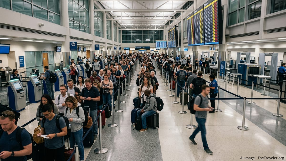
AI Arrives in a Congested Air Corridor
The Federal Aviation Administration is introducing a planning tool known as SMART, part of a broader modernization push that includes new flight data and traffic management platforms. Publicly available information indicates that the software is being rolled out first in the Washington region, where three major commercial airports and dense East Coast traffic regularly combine to create delays.
The Washington airspace, sometimes referred to in technical documents as the DC Metroplex, covers Ronald Reagan Washington National Airport, Washington Dulles International Airport and Baltimore/Washington International Thurgood Marshall Airport, along with busy military and general aviation operations. The region often sits at the intersection of storm systems, Northeast corridor congestion and tight security restrictions, making it an early test case for whether AI can provide practical relief for travelers.
According to published coverage of the program, the SMART tool is intended to run alongside existing air traffic control systems rather than replace them. Controllers will continue to manage separation and safety, while the AI focuses on traffic flow strategies that could reduce the need for last-minute ground stops and in-flight holding patterns.
Reports on the first days of the pilot indicate that the launch coincided with separate technical issues affecting air traffic in the Northeast, underscoring the fragile nature of the current system and the stakes of any upgrade. Early reactions from aviation professionals suggest a mixture of optimism about better planning and caution over how quickly the new tool can make a noticeable difference.
How the SMART System Is Expected to Work
Public descriptions of SMART and related tools indicate that the software ingests airline schedules, filed flight plans, real-time radar positions, airport runway capacity, known airspace constraints and detailed weather forecasts. Using those inputs, it attempts to predict where congestion will appear hours in advance, highlighting potential conflicts and alternative routing options for traffic managers.
The goal is to shift more decision-making to an earlier phase of the day. Instead of waiting for thunderstorms to form over the mid-Atlantic or for a key traffic facility to become saturated before issuing restrictions, planners would see modeled outcomes and can adjust routes or metering rates before delays cascade across the region. For passengers, that could translate into more accurate departure times and fewer surprise cancellations when disruptions occur.
SMART is being paired with upgraded flight data systems that can consolidate information that is now spread across multiple legacy platforms. FAA materials describing this modernization effort emphasize the need to move beyond decades-old automation, promising that new architectures will make it easier to integrate tools such as AI models and digital decision aids.
Travelers will not see the tool directly on their phones or boarding passes. Instead, its influence will be felt indirectly when airlines and controllers receive earlier guidance on the most efficient use of airspace and runways. Industry groups have described the initiative as one of the more ambitious attempts in recent years to tackle systemic delay patterns rather than isolated choke points.
Why the DC Area Was Chosen for the Pilot
Recent events have highlighted the pressure on Washington area air traffic. Earlier in the year, a strong chemical odor at the Potomac terminal radar facility triggered a temporary halt to arrivals and departures at several regional airports, causing widespread delays as operations were paused and then restarted. Other days have seen volume-related slowdowns and staffing constraints at key facilities along the East Coast corridor.
Documents describing the DC Metroplex characterize the airspace as complex, with overlapping arrival and departure paths serving multiple commercial airports and numerous smaller fields. The FAA and NASA have spent years modeling traffic patterns in the region as part of broader research into advanced air traffic management concepts, including digital tools to better balance demand and capacity.
By starting the AI rollout in this environment, the agency can test how SMART handles a wide range of operational scenarios in a relatively compact geographic area. The proximity of federal headquarters also makes it easier for senior decision-makers to monitor the trial and adjust procedures if needed, according to policy and aviation trade coverage.
For airlines operating in and out of the capital region, the pilot offers a chance to see whether more precise forecasting tools can reduce the frequency of ground delay programs and airborne reroutes that ripple through daily schedules. Carriers have publicly supported investments in modern traffic management technology, while also emphasizing that any AI tools must integrate smoothly with existing dispatch and operations systems.
What Travelers Might Notice This Fall
Because SMART works in the background, passengers traveling through Washington National, Dulles or BWI will not see a visible switch being flipped. Instead, the most noticeable changes, if the system performs as designed, could be fewer long tarmac waits while aircraft queue for departure, shorter holding patterns near the destination and more reliable day-of-travel information from airlines.
Travel reports note that the new tool is advisory and focused on planning, which means it will not eliminate delays caused by severe weather, runway maintenance or security events. However, by anticipating which flights are most likely to be affected, it may help airlines adjust schedules earlier in the day and make better use of available airspace when nearby regions are constrained.
Travelers passing through the DC area in the coming weeks may still encounter disruptions as unrelated technical or staffing issues arise, as seen recently in the Northeast. The early phase of any major technology rollout can also bring calibration challenges as engineers and controllers refine how the models operate in live traffic.
Passenger advocacy groups and aviation analysts are expected to watch closely for measurable improvements, such as reductions in average departure delays or more consistent on-time arrival performance for flights touching the capital region. Any significant gains would strengthen the case for expanding AI-driven planning tools to other busy hubs across the national airspace system.
Part of a Broader AI Push in Aviation
The DC-area SMART pilot sits within a larger transformation of air traffic management that includes long-running programs such as NextGen and NASA’s Air Traffic Management eXploration research. Those initiatives have focused on digital flight tracking, trajectory-based operations and better surface surveillance, all aimed at making the system more predictable and efficient.
NASA’s work in this field has explored advanced decision-support tools and automation concepts, many of which are intended to help human controllers manage growing traffic levels, including future aircraft such as electric air taxis and long-range drones. The new FAA contract for AI-powered planning software builds on that research by moving similar ideas into day-to-day operations at busy commercial airports.
Policy discussions around the SMART rollout have emphasized that AI products in this domain are intended as decision aids rather than autonomous controllers. Human oversight remains central, particularly in safety-critical functions such as separation, runway crossings and emergency handling. The focus for now is on using machine learning and predictive analytics to handle large data volumes and highlight options that may not be obvious in real time.
If the initial trials in the Washington region show clear benefits, subsequent phases are expected to extend similar tools to other high-volume markets. For travelers, the long-term vision is a network in which flight plans, weather models and airport operations are linked closely enough that large-scale disruptions can be foreseen earlier, and recovery plans can be implemented with less guesswork.