


More news on this day
Heavy rain and flood watches across the New York City region on Tuesday are disrupting flights at the area’s major airports and slowing subway service, creating a difficult day for commuters and summer travelers.
Get the latest news straight to your inbox!
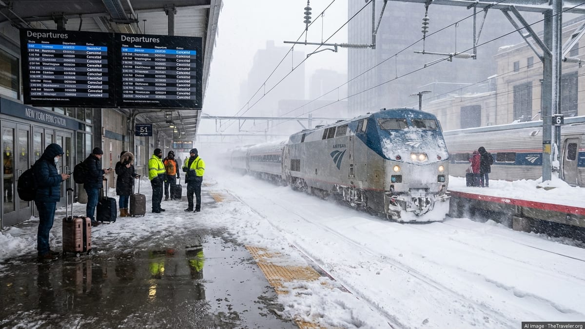
Flood watches and severe weather warnings for New York region
The National Weather Service has a Flood Watch in effect for New York City and surrounding areas through late Tuesday, with forecasters warning of multiple rounds of showers and thunderstorms capable of producing one to four inches of rain in a short period. Forecast discussions highlight the potential for peak rainfall rates above two inches per hour in some neighborhoods, a level that can quickly overwhelm drainage systems and low-lying infrastructure.
In addition to flooding concerns, a Tornado Watch is in place for the city and parts of northern New Jersey into the evening, reflecting the strength of the storm system moving along the East Coast. Weather outlooks indicate that the primary threats are torrential rain and damaging straight-line winds, but the possibility of isolated tornadoes has prompted heightened vigilance among emergency managers and transportation operators.
Citywide preparedness messages from public agencies in recent weeks have urged New Yorkers to avoid driving through flooded streets, stay away from underpasses and coastal areas during intense downpours, and monitor real-time transit and weather updates. The guidance follows a series of recent heavy-rain events that have repeatedly tested the resilience of the region’s transportation network.
Flight delays and schedule changes at JFK, LaGuardia and Newark
Air travelers are facing a challenging day at John F. Kennedy International, LaGuardia and Newark Liberty International airports as the storms pass through one of the nation’s busiest air corridors. Air traffic management dashboards from the Federal Aviation Administration show weather-related arrival and departure delays rippling across the three major hubs, with volume control programs and ground delay measures used to space out flights in deteriorating conditions.
Travel alerts from major U.S. carriers indicate that flexible rebooking policies are in place for passengers traveling through the New York area on July 21. One large airline has issued a waiver for customers ticketed to or from the three airports, allowing changes without standard fees for a limited time, in response to expected thunderstorms and reduced operations along the East Coast.
Published coverage notes that low cloud ceilings, gusty winds and the risk of lightning can force temporary suspensions of ramp activity and departures, even when runways technically remain open. That can lead to cascading delays as aircraft and crews fall out of position. Passengers on both domestic and transatlantic routes are being urged by airlines and airport advisories to check their flight status frequently and allow extra time for security and ground transportation.
Regional airports that feed into New York’s airspace, including facilities in New England and the Mid-Atlantic, are also contending with weather constraints. That is adding to congestion as air traffic controllers attempt to balance safety margins with peak summer travel demand.
Subway riders navigate slower trips and waterlogged infrastructure
Below ground, the Metropolitan Transportation Authority’s subway network is again confronting the familiar strain of intense rainfall. Real-time transit alert feeds on Tuesday describe intermittent delays and service changes on several lines as crews respond to weather-related issues, from water accumulation near tracks to signal problems and localized power interruptions.
Past storm summaries from the city and the MTA show how quickly heavy rain can seep into century-old tunnels and station entrances, especially where street drainage is limited or blocked. Episodes in recent years, including the September 2023 flooding that swamped stretches of the system, have prompted expanded programs to elevate station vents, install drainage improvements and add pumping capacity at known trouble spots.
Planning documents from the transit authority outline billions of dollars in climate resilience investments designed to help the subway withstand more frequent cloudbursts. These include upgraded pump rooms, redesigned street-level gratings and new barriers at station entrances that are intended to keep stormwater out. Despite that work, public reports stress that intense, short-duration storms can still exceed design standards and lead to temporary suspensions or slow service on exposed lines.
Riders are being encouraged through official apps and notification services to build extra time into their journeys, consider alternative routes and watch for late-breaking service changes as the heaviest bands of rain move across the city during the evening commute.
Commuter and regional rail feel knock-on effects
The weather impacts are not limited to the subway and airports. Commuter rail services operated by the MTA and New Jersey agencies are also vulnerable when thunderstorms sweep the corridor. Heavy rain can reduce visibility, trigger track and signal inspections, and increase the risk of localized flooding at low-lying stations and yards, setting the stage for slower speeds and adjusted schedules.
New York City’s emergency-management advisories in recent heavy-rain episodes have noted that Metro-North Railroad, Long Island Rail Road and New Jersey Transit can all experience delays or suspensions when flash flooding affects key junctions or river crossings. Published accounts of previous storms describe trains held outside terminals, rerouted via alternative lines or canceled altogether when water levels rise too close to the rails or power equipment.
Transportation planners point out that climate adaptation work on the commuter network is progressing, but that the age and geographic reach of the system make upgrades a long-term effort. Studies on post-congestion-pricing travel patterns suggest more riders are depending on rail and subway connections into Manhattan, which heightens the stakes when extreme weather disrupts service.
Travel advice for visitors and residents caught in the storms
For travelers already in New York, public information channels emphasize preparation and flexibility on a day of unsettled weather. Visitors heading to or from the airports are advised to factor in both airborne and ground delays, since highway flooding, reduced visibility and heavier traffic volumes can slow trips to terminals even when flights are running.
Real-time tools, including airline apps, airport status boards, the official MTA app and Notify NYC alerts, are being highlighted as key ways to stay informed about changing conditions. Guidance from city agencies and weather services consistently urges people to avoid walking or driving through pooled water, to move vehicles from flood-prone streets where possible, and to seek higher ground if conditions worsen quickly.
With severe thunderstorms and high summer humidity expected to persist into the night, transportation and weather bulletins indicate that disruptions may continue through the late evening travel window. Anyone with time-sensitive plans, from connecting flights to ticketed events, is being encouraged by publicly available advisories to monitor conditions closely and consider adjusting itineraries where possible.