
More news on this day
Paris is quietly redrawing its suburban rail map as the RER E extension progresses west of the city center, introducing new stations, a long tunnel and a future link to Mantes la Jolie that is set to reshape daily travel across Île de France.
Get the latest news straight to your inbox!
A new east west backbone through central Paris
The project known as EOLE, for Est Ouest Liaison Express, extends RER Line E beyond its long standing terminus at Haussmann Saint Lazare to form a new underground axis beneath western Paris. Publicly available project information describes around eight kilometers of new tunnel that carry trains from the existing central platforms toward the business districts to the west.
The tunnel section creates a continuous route from the eastern suburbs, including branches to Chelles Gournay, Villiers sur Marne Le Plessis Trévise and Tournan, into the dense core of Paris and out toward La Défense. Reports indicate that this alignment is intended to relieve saturation on RER A and on the traditional mainline tracks approaching Saint Lazare by offering an alternative cross city path.
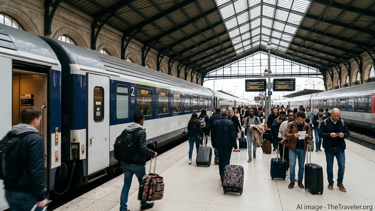
According to published coverage, the extension is being delivered in stages. The first major milestone came in early May 2024, when service began running beyond Haussmann Saint Lazare to a new western terminus at Nanterre La Folie. Subsequent timetable changes in late 2024 then allowed through running of all eastern branches to the new terminus, eliminating transfer requirements at Magenta and Haussmann Saint Lazare for many riders.
Along the way, the project introduces a new signalling and train control system in the tunnel section, designed to support higher frequencies and speeds. Project documents describe assisted driving technology that aims to push capacity to more than 20 trains per hour in each direction, turning the RER E corridor into a high throughput spine for the region.
Key new stations on the western extension
The most visible change on the RER E project map is the appearance of three new stations between central Paris and Nanterre. The line now serves Neuilly Porte Maillot, La Défense Grande Arche and Nanterre La Folie on its western approach, each playing a distinct role in the regional network.
Neuilly Porte Maillot creates an additional rail node in the 17th arrondissement, where RER C and Paris Metro Line 1 already intersect. With RER E added to the mix, the map now shows a three way interchange at the edge of the city center, improving access to the Porte Maillot congress and events district and offering alternative routes for passengers from the northwest suburbs.
Further west, La Défense Grande Arche appears as a second major hub on the new diagram. The station sits at the heart of the La Défense business district and interfaces with RER A, Transilien lines, tram services and multiple Metro lines. Project descriptions emphasize that routing RER E through La Défense is central to the goal of providing direct east west access between employment centers without requiring a change of train at Saint Lazare.
At the western end of the currently operating section, Nanterre La Folie has been built as a new station in a redeveloping district of Nanterre. On recent network maps it is shown as the temporary western terminus of RER E, with provisions for future links to other suburban and Grand Paris Express services. Planning documents point out that this node is expected to become a significant interchange in the longer term as additional metro lines reach the area.
From Nanterre to Mantes la Jolie: the next phase on the map
Beyond Nanterre La Folie, the RER E project map traces a future route northwest toward Mantes la Jolie, following and adapting existing mainline corridors. Public information from transport agencies shows that the extension will replace part of today’s Transilien Line J service, taking over the branch via Poissy and continuing to Mantes la Jolie on upgraded infrastructure.
When this second phase opens, the map will show RER E running from Mantes la Jolie through Poissy and La Défense to central Paris, before continuing east toward Chelles Gournay or Tournan. Municipal and regional publications currently reference a target of late 2026 or 2027 for completion of this western reach, with construction and station works still in progress at intermediate stops in the Yvelines department.
Project documents also describe how operations will be organized once the full map is in place. RER E is expected to function as two interlaced sublines, with an eastern service running between Nanterre and the eastern suburbs, and a western service operating between Mantes la Jolie and Rosa Parks. Both services share the central tunnel between Rosa Parks and Nanterre, where the highest train frequencies are planned.
Future oriented graphics produced by local authorities highlight potential journey time reductions that the completed alignment will bring. Direct connections from Poissy and Mantes la Jolie to La Défense and the eastern side of Paris are intended to shorten commutes for many riders and reduce the need to change at Saint Lazare or on RER A, easing pressure on some of the network’s busiest nodes.
How the new RER E map reshapes connectivity
The evolution of the RER E project map illustrates a broader reshaping of rail connectivity across Île de France. By drawing a new east west tunnel beneath Paris and linking it directly with La Défense and beyond, planners aim to rebalance flows that have long converged on a few central bottlenecks.
The new configuration is designed so that a traveler from the eastern suburbs can reach La Défense, Nanterre La Folie or, in the future, Poissy and Mantes la Jolie without changing trains. This single seat ride concept appears prominently in communication materials, which underline its potential to make cross region journeys more predictable and less time consuming.
On the diagram, RER E also interacts with several forthcoming Grand Paris Express lines, particularly at hubs such as La Défense and Nanterre. While many of these metro projects will not open until the 2030s, planners depict them alongside the new RER E infrastructure to emphasize a long term vision in which suburban rail and orbital metro lines complement one another.
For visitors, the changing map offers new options for reaching Paris’s business districts and event venues from the eastern suburbs and from future western termini. For residents, transport publications present the RER E extension as part of a broader effort to modernize rolling stock, improve station accessibility and increase capacity on some of the region’s most heavily used corridors.
Reading the current project map before you travel
Because the RER E extension is being delivered in stages, maps circulating online and in stations can differ depending on when they were produced. Some still show Nanterre La Folie as a future station, while more recent diagrams include it as an active terminus and highlight works continuing toward Mantes la Jolie.
Travelers consulting planning materials are encouraged by transport operators to pay attention to publication dates and to distinguish between schematic project maps and current operating maps. The project versions often show the full future reach to Mantes la Jolie with all intermediate stations, even though train services are not yet running on the westernmost section.
Up to date operating maps now depict the RER E in its extended form between the eastern branches and Nanterre La Folie, with Neuilly Porte Maillot and La Défense Grande Arche shown as new intermediate stops. As additional sections open, these passenger maps are expected to be revised again, progressively matching the long term project diagrams promoted by regional and local authorities.
For those planning trips that traverse Paris from east to west, the changing outlines of the RER E diagram signal a gradual but significant shift in how the French capital’s wider region can be navigated by rail, as the EOLE project continues to move from blueprint to everyday reality.