


More news on this day
A major rock fall on Nepal’s Karnali Corridor near Rip in Humla district has blocked around 100 metres of roadway, disrupting a strategic cross-border route and leaving passengers stranded in remote mountain terrain.
Get the latest news straight to your inbox!
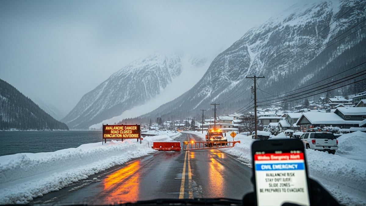
Key Himalayan artery cut near Rip in Humla
Recent coverage from national and regional outlets describes a significant rock fall at Rip in Sarkegad Rural Municipality 2, Humla, where two rockslides have buried roughly a 100 metre stretch of the Karnali Corridor. Large boulders and debris have completely sealed the road, preventing any vehicles from passing.
The affected section lies on the Hilsa–Simkot road segment, part of the broader Karnali Corridor that links Jamunaha in Banke district, near the Nepal–India border, to Hilsa in Humla, close to the Nepal–China border. Publicly available information highlights the route as a key trans-Himalayan connection, serving local communities as well as long-distance trade and pilgrimage traffic.
Reports indicate that conventional road-clearing methods have so far proved inadequate. Excavators deployed to the site have not been able to shift the biggest boulders, and project engineers have been assessing the need for controlled blasting using drill-mounted equipment to fracture the rock mass before it can be removed.
Weather and technical conditions are central to the clearance timeline. According to published coverage from Humla, if specialists cannot safely conduct blasting operations due to rain, loose slopes or limited access for heavy machinery, reopening the road could take close to a week, prolonging hardship for the communities that depend on this corridor.
Passengers stranded and turning to hazardous detours
The blockage has left passengers, drivers and local residents stranded on both sides of the obstruction. Reports from Humla describe people sleeping in vehicles or basic lodges while they wait for clearance teams to make progress on the rock fall.
With no vehicular passage available, some travelers have begun navigating narrow, improvised detours across the cliff face. Locals quoted in Nepali media describe using ropes and makeshift ladders fixed to exposed rock to bypass the buried road section, a route that is extremely risky in wet, unstable mountain conditions.
Coverage from news outlets focused on Karnali Province notes that the disruption is particularly severe for those heading to the district headquarters at Simkot or travelling onwards toward the border area around Hilsa. Teachers, traders and residents interviewed by local media have described multi-hour detours on steep trails that were never designed to handle sustained two-way foot traffic.
The blockage has also affected pilgrims and tour groups heading toward Kailash Mansarovar via Simkot from hubs such as Nepalgunj and Surkhet. Operators and travelers following this route are facing longer, more uncertain itineraries just as the autumn travel period begins, with many forced to reschedule or await clearer information from local contacts before committing to onward journeys.
Rock fall adds to pattern of fragile mountain infrastructure
The latest rock fall follows several recent reports of landslides and slope failures along road links in and around Karnali Province as the monsoon retreat continues. Coverage by national dailies and regional portals in the past week has highlighted separate landslides on the Humla–Karnali road network, each blocking around 100 metres of roadway and stranding passengers in multiple locations.
Transport-focused reporting and technical reviews of Nepal’s roads point to a broader pattern in which rapid highway expansion into steep Himalayan terrain has improved connectivity but outpaced investments in long term slope stabilization, retaining structures and rock fall protection. On corridors like the Karnali route, cut slopes often remain exposed for years, leaving them vulnerable to intense rainfall and freeze–thaw cycles that loosen rock and soil.
In this context, the obstruction at Rip underscores the vulnerability of new and partially completed trans-Himalayan corridors to extreme weather and geotechnical instability. Analysts and engineers quoted in prior studies of the region have long warned that without systematic drainage, bioengineering and protective galleries, vital economic lifelines can be severed by a single localized slope failure.
For travelers, this means that journey times on routes such as the Karnali Corridor can shift abruptly from hours to days. Publicly available advisories about mountain travel in Nepal consistently urge visitors to factor in buffer days, particularly during and immediately after the monsoon, and to remain flexible about using air links, jeeps or local buses as conditions change.
Impacts on trade, services and local communities
The Karnali Corridor carries more than tourist and pilgrimage traffic. According to background information on Nepal’s road network, it is a designated national highway that underpins trade between border points and the interior, carrying goods, fuel and essential supplies for remote settlements in Humla and neighboring districts.
When a rock fall of this scale blocks the road, freight trucks, small goods vehicles and public buses are all forced to stop. Reports from Humla this week describe vehicles loaded with food staples, construction materials and household items sitting idle on either side of the obstruction, raising concerns about short term shortages and price spikes in communities that rely on overland deliveries.
The disruption also affects access to healthcare and education. Coverage in recent years has documented how residents of Adanchuli and other municipalities along the corridor depend on the road to reach health camps and district-level hospitals. When traffic is halted for several days, patients and students may miss crucial appointments, examinations or treatment windows, particularly in villages that lack alternative air links.
Local leaders and community groups have frequently highlighted these vulnerabilities when calling for more resilient infrastructure in Karnali Province. They point to repeated experiences of being cut off by landslides and rockfalls on highways and feeder roads, and argue that predictable access to markets, hospitals and schools is essential for long term development.
Travel advice for visitors heading into Karnali
For domestic and international travelers planning trips into Karnali Province, the rock fall at Rip serves as a timely warning about the realities of road-based travel in Nepal’s highlands. Publicly available travel advisories recommend checking the latest road conditions with bus operators, local airlines or accommodation providers before departure, especially during the shoulder months around the monsoon.
Given the current obstruction on the Karnali Corridor, travelers aiming to reach Simkot, Hilsa or Kailash Mansarovar via road are likely to encounter delays or temporary route changes. Some may choose to fly into regional airports serving Karnali and then continue by local vehicle, while others may decide to postpone itineraries until clearance work at Rip is complete and authorities announce that heavy vehicles are once again moving through the corridor.
Experts who study mountain transport in Nepal note that route conditions can vary significantly from one valley to the next, so a closure on the Karnali Corridor does not necessarily mean that all access to western Nepal is shut down. However, they emphasize the importance of carrying warm clothing, basic supplies and flexible tickets when travelling into remote districts where accommodation capacity is limited and road closures can extend unexpectedly.
As of the latest published reports on September 22 and 23, clearance teams in Humla were continuing preparations for controlled blasting and debris removal at Rip. Until those efforts succeed and the Karnali Corridor reopens, travelers bound for Nepal’s far west will need to follow local updates closely and be ready to adjust their plans to the shifting realities of the Himalayan roads.