


More news on this day
Storm Boelo swept across Cumbria overnight into Sunday 25 October, bringing intense rain and gale force winds that triggered flood warnings, widespread power cuts and major disruption across key road corridors used by residents and visitors alike.
Get the latest news straight to your inbox!
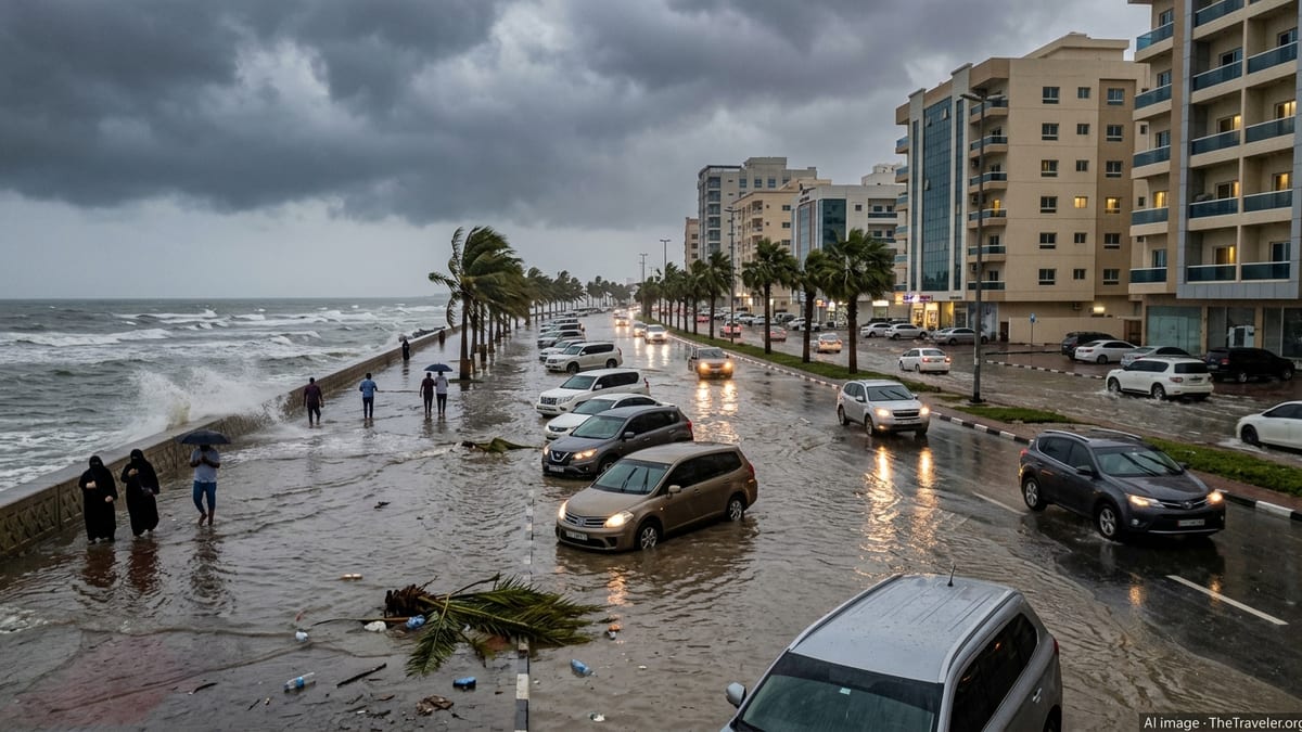
Flood warnings across rivers and coast
Publicly available information from the Environment Agency indicates that multiple flood warnings and alerts were in force across Cumbria from late Saturday 24 October into Sunday 25 October as Storm Boelo moved in from the west. Coverage highlights particular concern for low-lying communities near rivers and estuaries already running high after a wet October.
Reports from regional broadcasters describe flooding on stretches of road where surface water quickly built up during the heaviest downpours, especially overnight. Localised flooding has been noted on routes close to rivers such as the Eden and Derwent, with water spilling onto carriageways and affecting access to some villages and rural properties.
Forecast data published by the Met Office shows that parts of Cumbria were expected to receive 25 to 30 millimetres of rain widely, with upland areas seeing up to 50 or 60 millimetres within a relatively short window. This concentration of rainfall, falling on already saturated ground, is cited in official guidance as a key factor behind the risk of flash flooding and rapidly changing water levels.
Travel advice circulated ahead of the storm urged drivers not to attempt to pass through flood water of any depth, noting that even shallow flows can conceal debris, potholes or washed-out verges. Motorists heading towards the Lakes or crossing the county between England and Scotland have been encouraged to check the latest river and flood updates before setting off.
Power cuts hit homes and holiday accommodation
The strongest winds associated with Storm Boelo arrived late on Saturday and continued into Sunday morning, bringing widespread reports of power interruptions across northern England. Electricity distributor updates covering Cumbria and neighbouring regions referred to tens of thousands of properties losing supply at the height of the storm, with damage to overhead lines and fallen trees cited as key issues in engineering bulletins.
Regional news outlets focusing on Cumbria report that hundreds of homes in the Eden area woke up on Sunday without electricity, including properties in and around Penrith and rural communities stretching towards the Lake District fells. Some holiday cottages and small hospitality businesses also appear to have been affected, disrupting heating, hot water and communications for late-October visitors.
Power companies have highlighted that restoration times vary depending on local conditions, access for repair teams and the need to make lines safe before work can begin. Publicly available outage maps on Sunday morning showed clusters of faults across parts of north and east Cumbria, reflecting the path of the most damaging gusts overnight.
Travel and consumer advice services meanwhile are reminding visitors to the region that short power cuts can affect card payments, fuel supplies and mobile coverage in rural areas. Travellers arriving by car are being encouraged to keep fuel tanks topped up, carry battery power banks and check that accommodation providers are open and operating normally before arrival.
Road closures and hazardous driving conditions
National Highways travel alerts confirm that the A66, a critical trans-Pennine route linking Cumbria with County Durham, has been closed in both directions between the A67 near Bowes and the A685 near Brough due to strong winds associated with Storm Boelo. The closure affects a key corridor for freight traffic and visitors heading towards Penrith, Keswick and the northern Lake District.
Additional reports from local media and community channels describe difficult conditions on other exposed routes, with fallen branches, tree debris and standing water making driving hazardous. Police and highway updates have repeatedly urged motorists to plan ahead, allow extra time and be prepared for sudden changes in conditions, particularly on higher ground and open moorland stretches.
Within Cumbria, stretches of the A595 along the west coast and sections of rural B-roads have experienced periods of disruption as crews work to clear debris and assess any damage. While many roads remain open, guidance to non-essential travellers has focused on postponing journeys through the worst-affected areas until wind speeds ease and surface water drains away.
For visitors already in the Lake District and wider county, public information emphasises the importance of checking individual attractions, accommodation providers and transport operators for the latest updates. Some high-level passes, popular with tourists for scenic drives, may be particularly exposed to gusts and should be approached with caution or avoided altogether while weather warnings remain in place.
Met Office warnings and evolving forecast
The Met Office issued yellow and amber weather warnings for heavy rain and strong winds across parts of northern England, including Cumbria, ahead of Storm Boelo’s arrival. The most recent warning updates indicate an amber wind warning remaining in place for parts of the north until Sunday evening, highlighting a risk of flying debris, further power cuts and disruption to road, rail, air and ferry services.
Accessible forecast material notes that gusts could reach 70 to 80 miles per hour in the most exposed coastal and upland locations, with slightly lower but still disruptive speeds inland. In combination with saturated ground and high river levels, this has created a mix of hazards that can evolve quickly during the day as the low-pressure system tracks eastwards.
Public guidance from meteorological and transport agencies stresses that warnings may change at short notice as the storm progresses. Travellers are being advised to keep checking the latest forecasts for Cumbria, as well as live traffic and rail information, particularly if planning cross-country journeys that rely on the A66 or other trunk routes vulnerable to closures.
For those staying in the region, published advice includes securing loose outdoor items, keeping mobile phones charged where possible and having basic supplies available in case of short-term power loss. Hillwalkers and outdoor enthusiasts are being strongly encouraged to reassess plans, with gusty winds on higher fells presenting a particular safety concern.
Impacts on visitors and guidance for travellers
Storm Boelo has arrived at a time when Cumbria remains a popular destination for late-season walkers and short breaks, meaning that visitors as well as residents are affected by the disruption. Accommodation providers monitoring the situation are using social media and booking platforms to update guests about access, facilities and any temporary closures caused by power or water issues.
Travel commentators point out that while many attractions in towns such as Keswick, Windermere and Penrith may continue to operate, onward journeys and day trips can be complicated by blocked minor roads and intermittent rail disruption. Visitors planning to drive between valleys, or to combine a stay in Cumbria with routes onwards to Scotland or the North East, are being encouraged to build flexibility into itineraries.
Practical recommendations drawn together from public travel and safety advice include allowing extra time for all journeys, checking alternative routes in case of closures and staying alert for roadside instructions from highway authorities. Those using hire cars or campervans are being reminded to familiarise themselves with local conditions, particularly on narrow rural roads where fallen branches, loose gravel and standing water may be hard to spot in poor light.
As the worst of Storm Boelo gradually clears eastwards, forecasters expect conditions in Cumbria to improve into Monday, although residual flooding, debris and intermittent power problems could continue to affect normal travel patterns. Anyone heading to or through the county in the coming days is being urged, via publicly available guidance, to keep monitoring official weather and transport channels so that plans can be adjusted quickly if further warnings are issued.