


More news on this day
Travelers at Newark Liberty International Airport are facing another round of weather-related disruptions as strong thunderstorms move through the New York City region, triggering traffic management programs and flood watches across the Northeast.
Get the latest news straight to your inbox!
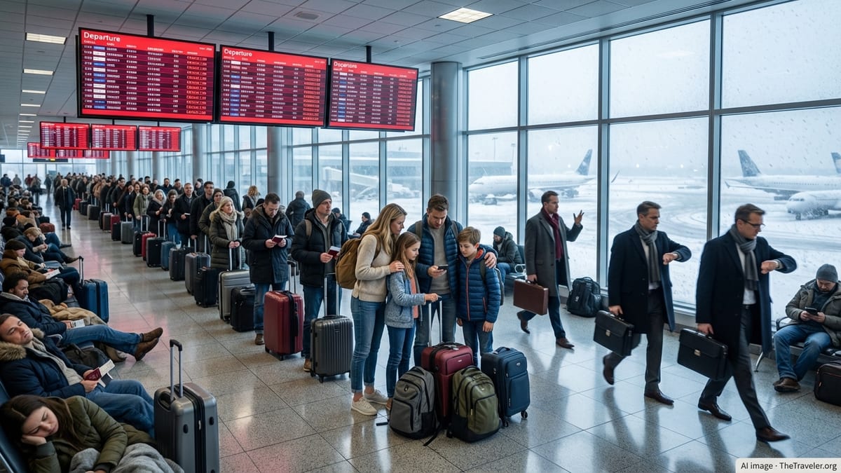
Thunderstorms trigger new wave of delays at EWR
Federal aviation data on Tuesday, July 21, indicates that arrivals into Newark Liberty International Airport are being managed under a traffic program due to thunderstorms in the area. The Federal Aviation Administration system advisory for Newark notes weather-related constraints on inbound flights, with average delays reported around three quarters of an hour and the potential for longer holds during peak demand periods.
Information published through the National Airspace System shows Newark categorized at a medium impact level, with weather and airport volume both contributing to delays. Earlier advisories this month cited compacted demand at the airport during stormy periods, a pattern that is re-emerging as another round of strong cells moves into northern New Jersey and the broader New York metropolitan airspace.
While departure boards can change quickly as storms intensify or clear, the combination of reduced arrival rates and ground delays is already translating into schedule disruptions for domestic and transatlantic flights using Newark as a hub. Passengers are being re-accommodated onto later services or rerouted through other East Coast gateways when possible.
Heavy rain and flood watch extend disruption risk
The National Weather Service forecast for Newark International Airport on Tuesday calls for periods of showers and thunderstorms, some producing heavy rain, through the evening and into the early hours of Wednesday. Forecasters have issued a flood watch for all of Essex County, including the airport, running from Tuesday morning into the overnight period, reflecting concern about repeated downpours over already saturated ground.
Text forecasts for the airport zone highlight the likelihood of thunderstorms during the late afternoon and evening travel peaks, a timing that typically magnifies the impact on airline schedules. Strong convective cells in the New York region can force air traffic managers to reduce arrival and departure rates at multiple airports simultaneously, with Newark, LaGuardia and John F. Kennedy often affected at the same time.
With summer storms frequently slow-moving and highly localized, short-term bursts of intense rainfall can quickly back up operations on the ground, affecting everything from ramp movements to taxi times. Even when conditions improve at Newark itself, lingering thunderstorms in surrounding airspace corridors can continue to limit arrivals and departures into the airport.
Regional knock-on effects across New York airports
Publicly available FAA airport status pages show that both LaGuardia and John F. Kennedy airports are also operating under weather-related traffic management programs. These measures are designed to meter the flow of flights into constrained airspace and prevent gridlock on approach paths and taxiways, but they can also create cascading delays as aircraft miss their scheduled departure and arrival slots.
When all three major New York airports encounter restrictions at the same time, airlines often struggle to reposition aircraft and crews efficiently. This can lead to missed connections for travelers passing through Newark and a ripple effect across airline networks extending well beyond the Northeast, particularly on carriers that use the airport as a primary hub.
Travelers flying into or out of neighboring airports may also experience indirect impacts as airlines consolidate flights, swap aircraft types or adjust departure times to work around the most intense weather periods. The broader regional nature of the thunderstorms means that rebooking options can be limited, with open seats in the afternoon and evening bank quickly filling as schedules compress.
Airlines activate waivers as disruptions persist
In response to repeated rounds of storms this month, major carriers serving Newark have issued and updated flexible travel policies for customers ticketed to, from or through the New York area. Public postings and customer advisories describe waivers allowing travelers on certain dates to change flights without incurring standard change fees or fare differences, provided they rebook within specified windows.
The latest advisories focus on travel dates in the July 20 to July 23 period, reflecting expectations that thunderstorms will continue to affect operations for several days. Previous waivers tied to earlier July storm systems have already been extended more than once, underscoring how persistent convective patterns have complicated scheduling at Newark and other East Coast hubs throughout the month.
Online discussions among passengers suggest that some travelers have opted to move itineraries to early morning departures, which historically face lower disruption risk in summer storm patterns. Others report rerouting through alternative hubs to avoid the New York airspace altogether, trading longer routings for a higher chance of on-time arrival.
Structural challenges amplify weather impacts
Newark’s susceptibility to delay during active weather is amplified by several longer-term structural factors. Federal regulatory filings over the past year describe the airport as one of the most congested in the country, with discussions between regulators and airlines focused on moderating schedules during peak hours. Documents outlining operating limitations at Newark point to runway configurations, ongoing construction and staffing pressures at nearby air traffic control facilities as contributors to chronic congestion.
Recent federal reports on delay reduction efforts in the New York region detail projects under way at Newark, including new navigation procedures and a Terminal Flight Data Manager system intended to improve the efficiency of surface and departure operations. These initiatives are expected to yield benefits later in the decade, but they do not materially alter the near-term vulnerability of the airport to intense summer weather.
Historical weather events in the Northeast, from severe thunderstorms to winter blizzards, have repeatedly shown how quickly Newark’s operations can unravel when conditions deteriorate. As storms again move across New Jersey and the broader region this week, the combination of constrained airspace, saturated schedules and heavy reliance on Newark as a connecting hub is setting the stage for further delays and cancellations through at least midweek.