


More news on this day
A second consecutive night of severe thunderstorms across the Tri-State region left a trail of damage on Saturday, including a New Jersey home that caught fire and widespread disruptions across the NJ Transit rail network, complicating travel at the height of the holiday weekend.
Get the latest news straight to your inbox!
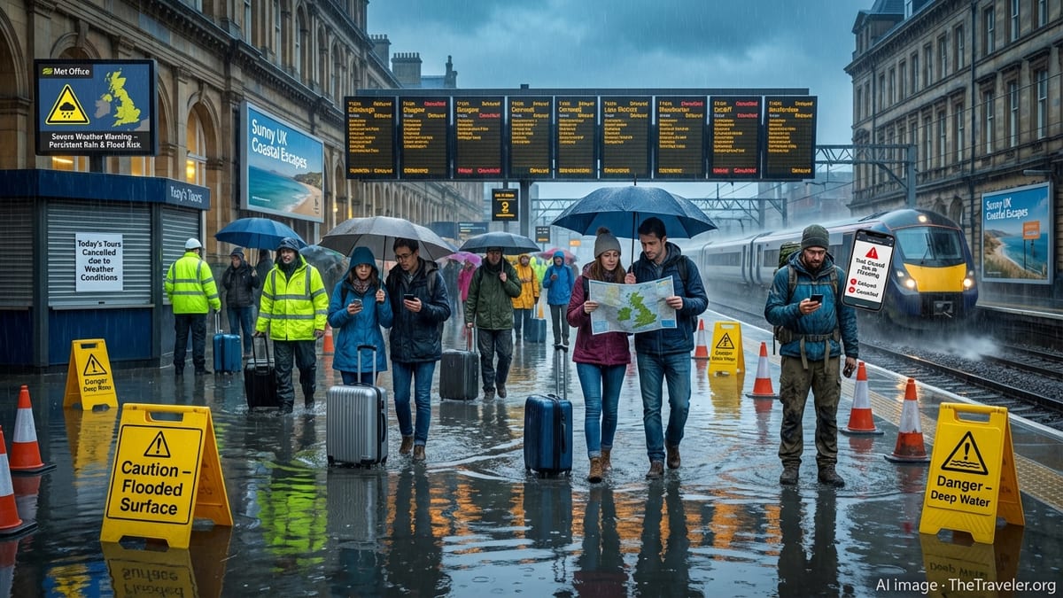
Storms Lash Region for Second Straight Night
Strong thunderstorms swept through New Jersey and the wider Tri-State area on Friday and again on Saturday, bringing intense lightning, damaging winds and heavy downpours. Publicly available information indicates that the latest round of storms arrived on the heels of severe weather that had already toppled trees, damaged infrastructure and knocked out power to tens of thousands of customers across the state.
Reports from multiple outlets describe fast moving cells that flared during the evening hours, coinciding with busy holiday travel and outdoor events. The storms struck communities that were still clearing debris and restoring power from the previous night, leading to renewed flooding concerns and further strain on local services.
Weather data cited in local coverage shows wind gusts topping 60 miles per hour in some locations, with thunderstorm warnings issued repeatedly as the system tracked from western and central New Jersey toward the coast and into New York and Connecticut. The back to back nature of the outbreaks has drawn attention from residents and planners already contending with extreme heat and heightened summer demand on the grid.
In parts of northern and central New Jersey, images shared by broadcasters show snapped branches, uprooted trees and residential streets littered with debris, underscoring how saturated ground and stressed vegetation can amplify damage when multiple rounds of severe weather arrive in quick succession.
House Fire Highlights Local Impact
Amid the latest storms, one of the most dramatic incidents occurred when a home in New Jersey caught fire, drawing attention to the localized dangers that can accompany widespread severe weather. According to published coverage, the blaze broke out shortly after storms passed through the neighborhood, in a community where nearby trees and utility lines had already been under strain.
Initial reports indicate that the fire involved significant damage to the structure, with images from the scene showing smoke pouring from the residence as emergency crews responded. Early information suggests that the incident was associated with storm related conditions, although full investigations into the exact cause typically take time.
Neighbors described in news reports how the storms had repeatedly knocked out power and sent debris flying across yards over the past two nights. The house fire has become a focal point in local accounts of the event, illustrating how individual families can be suddenly affected when hazardous weather coincides with vulnerable infrastructure or older housing stock.
The incident adds to a growing list of weather related emergencies across the region this season, from downed wires and transformer malfunctions to smaller structure fires linked to damaged equipment, portable generators or improvised cooling setups during periods of extreme heat.
NJ Transit Rail Network Struggles to Recover
The storms created particular challenges for NJ Transit, where rail service was already strained from earlier weather related damage. Publicly available updates from the agency and regional news outlets show that multiple lines experienced suspensions or severe delays as crews worked to clear fallen trees and repair storm damaged overhead wires and signal equipment.
Images and video shared in recent coverage depict debris strewn across tracks leading into Hoboken and Newark, as well as a downed tree entangled with power lines near key junctions on the North Jersey Coast Line. The damage compounded earlier issues from Friday night, leaving commuters facing longer travel times and limited alternatives.
According to published reports, service on portions of the Morris and Essex Line, the Gladstone Branch and the North Jersey Coast Line remained suspended or heavily curtailed into the weekend as inspection and repair work continued. Crowded platforms and revised timetables were reported at several major hubs, with riders urged to allow extra time and consider alternate routes.
Transit observers note that repeated severe weather events can magnify existing vulnerabilities in an aging rail system, particularly where tree lined rights of way run close to electrical infrastructure. Each round of storms increases the risk of track blockages, damaged substations and signal failures that may take days to fully resolve.
Commuters and Holiday Travelers Face Tough Choices
For many riders, the timing of the disruptions could not have been worse. The storms and subsequent service problems coincided with peak summer travel and Independence Day celebrations, when trains typically carry heavy volumes of beachgoers, city visitors and workers commuting to holiday shifts.
Riders described, in publicly posted accounts and local news interviews, missed connections, packed trains and uncertain arrival times. Some travelers opted to drive despite lingering storm debris and localized flooding on roadways, while others shifted to PATH, ferries or rideshare services where available, adding to congestion across the broader transportation network.
Published guidance from NJ Transit in recent storms has generally encouraged customers to check service alerts frequently and build in additional time, reflecting how conditions can change quickly when new cells develop or when crews encounter unforeseen damage during overnight inspections. With successive nights of storms, many travelers reported adjusting their plans entirely to avoid late evening trips.
The combination of extreme heat, sporadic power outages and transit delays also prompted renewed conversations about commuter vulnerability during summer weather events. Observers note that crowded, stalled trains and unairconditioned waiting areas can be particularly uncomfortable and, for some riders, unsafe when heat indices remain elevated after dark.
Ongoing Cleanup and Preparedness Efforts
As crews continue to remove downed trees, repair wires and inspect rail infrastructure, attention is turning to how the region can better withstand back to back severe weather episodes. Transportation advocates and local commentators have pointed to the storms as another reminder of the need for sustained investment in resilience measures along key commuter corridors.
Publicly available planning documents from recent years outline efforts to harden substations, trim vegetation along rights of way and modernize signal systems in response to increasingly frequent extreme weather. The latest disruptions are likely to add urgency to those discussions, particularly on heavily used lines where a single incident can ripple through the schedule for hours.
For residents whose neighborhoods have now endured two consecutive nights of high winds and heavy rain, the focus remains on cleanup and short term safety. Local coverage shows utility crews working extended shifts to restore power while municipal teams clear blocked intersections and check damaged structures.
With much of the summer still ahead, emergency managers and transit agencies are expected to continue emphasizing individual preparedness, from monitoring forecasts and signing up for service alerts to having backup travel plans when storms threaten. The experience of this latest stretch of volatile weather is reinforcing for many in the Tri-State area how quickly ordinary routines can be upended when severe storms return night after night.