


More news on this day
Early morning thunderstorms over north Houston on Tuesday disrupted operations at George Bush Intercontinental Airport, prompting a temporary ground stop and leaving many departing flights facing significant delays.
Get the latest news straight to your inbox!
Thunderstorms Sweep Across Airport Corridor
Radar imagery and local forecast discussions for Tuesday indicated clusters of slow-moving thunderstorms forming before daybreak over parts of Harris and Montgomery counties, including the corridor around George Bush Intercontinental Airport. The storms brought periods of heavy rain, lightning and pockets of gusty wind, conditions that typically trigger tighter safety margins for airport operations.
Publicly available storm timelines for the Houston area showed the most intense downpours developing during the morning hours, with several cells repeatedly tracking across northern sections of the metro area. That pattern raised concern for localized flooding and reduced visibility, both of which can complicate takeoffs and landings at one of the nation’s busiest hubs.
National Weather Service statements in recent days have highlighted the broader pattern of unsettled weather over southeast Texas in mid-July, noting the risk of persistent showers and thunderstorms as a stalled frontal boundary lingers near the coast. Those conditions set the stage for Tuesday morning’s disruptions at the airport.
While rainfall amounts varied, the combination of lightning in the vicinity of the airfield and low cloud ceilings created intermittent constraints on ground handling and air traffic flow, contributing to a buildup of delayed departures.
Ground Stop and Departure Delays Ripple Through Schedule
According to Federal Aviation Administration advisories and flight-tracking data, thunderstorms prompted a temporary ground stop for some departures at George Bush Intercontinental during the Tuesday morning rush. A ground stop limits or pauses departures destined for an affected airport, giving controllers time to manage traffic safely when weather or congestion significantly reduces capacity.
Published coverage of the Houston air travel system in recent days has documented similar weather-related ground restrictions at both Bush Intercontinental and nearby William P. Hobby Airport, with average delay times at Bush at times approaching or exceeding an hour during the most intense storms. The latest round of Tuesday disruptions appeared to follow a comparable pattern, with departures slowed as airspace routes were adjusted around heavy rain and lightning.
Flight status boards for major carriers using Bush as a hub showed a growing number of delayed departures through the morning peak, as aircraft and crews waited for release times from air traffic control. Passengers on early bank flights faced rolling updates to departure estimates, a familiar experience at large southern hub airports during summer thunderstorm season.
Once the most active cells cleared the immediate vicinity of the airport and visibility improved, departures gradually resumed, but the early imbalance between arriving and departing aircraft left residual delays across late-morning and midday schedules.
Travelers Urged to Monitor Flight Status Closely
Publicly available guidance from airlines and airport information channels consistently urges travelers to check their flight status frequently on days with a high chance of thunderstorms. On Tuesday, that advice proved particularly relevant for those departing Bush Intercontinental, as delay lengths varied widely by route and carrier depending on when storms passed over the airfield and surrounding departure corridors.
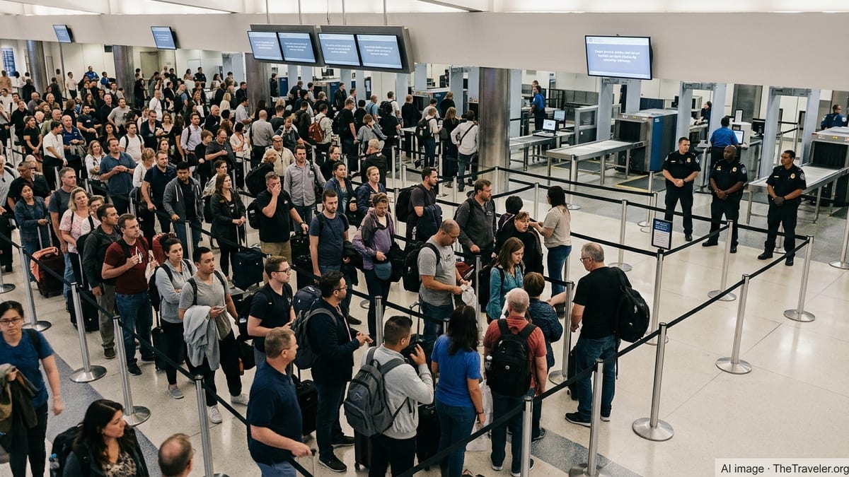
Recent reporting on Houston air travel has also pointed to congestion at security checkpoints and ongoing terminal construction as additional stress points when operations slow down. When weather-related ground stops occur during the morning rush, longer lines at check-in and security can compound frustrations for passengers trying to rebook missed connections or adjust same-day travel plans.
For travelers connecting through Bush, experts often recommend allowing extra time in itineraries during the summer months, when fast-developing thunderstorms can disrupt tightly timed connections. Data-driven studies of airline performance indicate that convective weather around major hubs is one of the strongest predictors of departure and arrival delays, particularly when storms repeatedly redevelop over the same area.
On Tuesday, many passengers who had booked early flights saw that strategy partially validated, as operations began to stabilize later in the morning once the most active storms weakened and airspace routes were rebalanced.
Weather Pattern Extends a Challenging Stretch for Houston Aviation
The latest round of Tuesday morning storms came amid an extended period of unsettled weather for the Houston region. In recent weeks, a combination of heavy rainfall events, severe thunderstorms and broader Gulf disturbances has led to multiple days of disruption for both Bush Intercontinental and Hobby airports.
FAA operational plans and advisories for the Houston airspace this month have repeatedly referenced thunderstorms affecting departure and arrival routes, with ground delay programs and other flow-management tools activated when storm coverage increases. Those measures are designed to maintain safety and reduce the risk of airborne holding in hazardous conditions, but they often result in longer gate holds and schedule shuffling for passengers.
Climate data for the Houston area describe frequent spring and summer thunderstorms, driven by abundant Gulf moisture and daytime heating. As passenger numbers at Bush Intercontinental continue to grow and major construction projects adjust runway and taxiway configurations, weather disruptions can have a larger footprint, turning a brief ground stop into a morning of rolling delays.
Tuesday’s episode highlighted how quickly conditions can change at a large Gulf Coast hub, with relatively routine morning storms still capable of triggering widespread delays when they pass directly over key arrival and departure corridors at peak travel times.