


More news on this day
Air travelers with plans to pass through Taiwan later this week are being urged to monitor schedules closely, as powerful Typhoon Bavi tracks toward the island with the potential to disrupt flights across East Asia.
Get the latest news straight to your inbox!
Powerful storm closing in on key Asian air hub
Typhoon Bavi has strengthened over the Philippine Sea and is forecast to move northwest toward waters east and northeast of Taiwan, according to publicly available meteorological forecasts released this week. Current projections suggest the system will make its closest approach between Friday and Saturday, passing near northern Taiwan before continuing toward the East China Sea and eastern China.
Weather agencies in the region indicate that Bavi has already reached the equivalent of a major hurricane, with the potential to bring destructive winds, intense rainfall and dangerous seas over a wide area. Forecast tracks show a cone of uncertainty that still leaves room for shifts north or south, but the general trend keeps Taiwan and the surrounding air corridors well within the zone of impact.
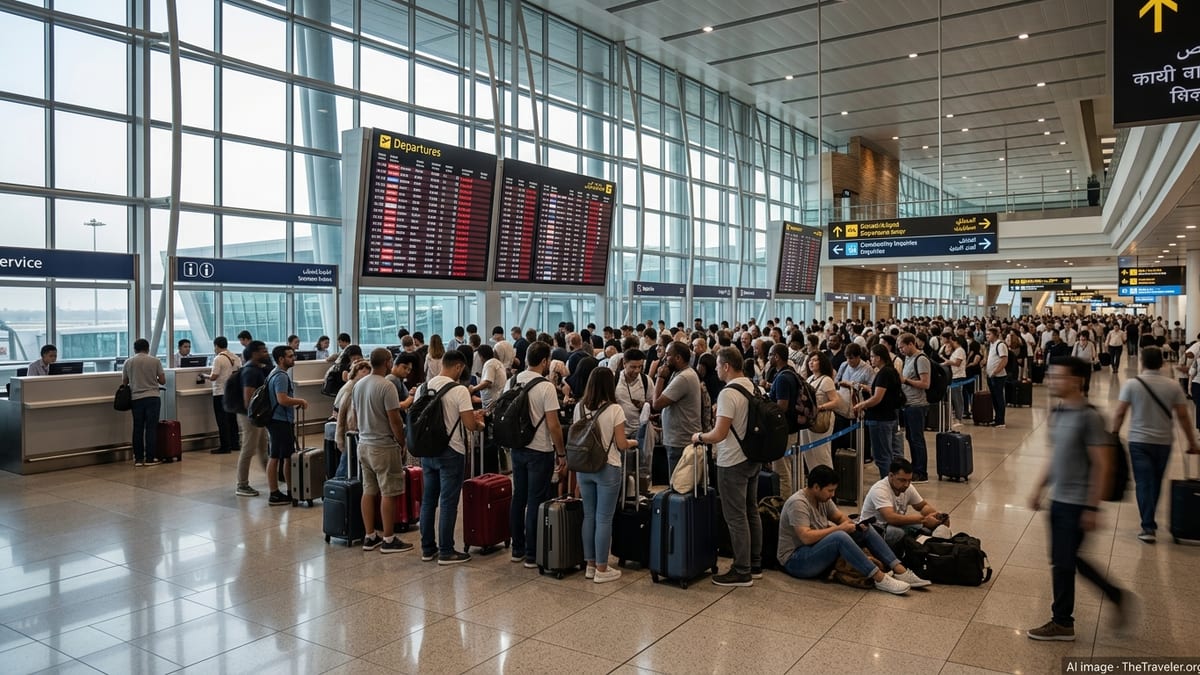
Even if the eye of Bavi remains offshore, its large wind field and outer rainbands are expected to cover much of Taiwan during the latter part of the week. That timing coincides with heavy summer travel, increasing the likelihood of flight disruptions at Taoyuan International Airport near Taipei, as well as at smaller regional airports around the island.
Regional outlooks from neighboring countries describe Bavi as a system likely to pass through or just north of Taiwan before eventually making landfall over eastern China around July 11 to 12. This track would take the typhoon across some of the busiest airspace in Asia, affecting not only flights to and from Taiwan but also long-haul services that overfly the region.
Airlines prepare for possible cancellations and diversions
Major Asian and international carriers routinely adjust schedules when strong typhoons threaten Taiwan, and early indications suggest a similar pattern is likely as Bavi approaches. Publicly available airline notices and past operational practices show that carriers typically begin cancelling or consolidating flights several hours before the onset of severe winds, prioritizing safety and the protection of aircraft on the ground.
Travel industry analysts note that Taoyuan International Airport functions as a critical transit hub connecting North America, Europe and Southeast Asia. When typhoons force temporary runway closures or impose strict crosswind limits, the ripple effects can be felt across multiple continents, with missed connections, aircraft and crew out of position, and knock-on delays lasting well beyond the storm’s passage.
Operational planning documents and previous typhoon case studies suggest that airlines may opt to reroute some long-haul flights around Bavi’s projected path, adding flight time but avoiding the most hazardous conditions. Others may bring departure times forward or delay services until winds and visibility return within safe operating thresholds.
For travelers, that means itineraries touching Taipei, Kaohsiung, Taichung or smaller island airports over the coming days face a heightened risk of last-minute changes. Industry guidance generally urges passengers to ensure contact details are up to date with their airline, use carrier apps to track real-time status and consider allowing extra time for connections.
Ground operations and airport infrastructure at risk
Beyond airborne operations, Typhoon Bavi poses significant challenges for airport ground handling and critical infrastructure in Taiwan. Strong winds and heavy rain can hamper baggage loading, aircraft refueling and catering services, slowing turnaround times even for flights that remain scheduled.
Publicly available civil aviation preparedness materials for Taiwan outline a range of measures that airports typically activate when major storms loom, including tying down ground equipment, moving aircraft to more sheltered positions and clearing drainage systems to reduce the risk of flooding on taxiways and aprons. If rainfall totals reach the upper end of current forecasts, localized flooding could temporarily disrupt access roads and ground transportation links serving airport terminals.
Power reliability is another concern. While Taiwan’s major airports are equipped with backup generators, a high-impact storm can still affect terminal lighting, air conditioning and some nonessential services. Experience from previous typhoons in the region shows that even brief interruptions to radar, navigation aids or communications equipment can force conservative spacing between aircraft, reducing runway capacity and extending delays.
Smaller island and coastal airports are particularly vulnerable due to lower elevation and more exposure to storm surge and high waves. In such locations, port and airport closures often occur in tandem, temporarily cutting off both air and sea links until conditions ease and safety checks are completed.
Knock-on effects across Northeast Asia’s flight network
Bavi’s projected track toward Taiwan and the East China Sea places it on a corridor that supports dense traffic between Japan, South Korea, mainland China and Southeast Asia. Aviation data from prior storms with similar paths show that disruptions are rarely confined to a single country when a strong typhoon sweeps through this region.
As aircraft are diverted or held on the ground in Taiwan and eastern China, major hubs such as Hong Kong, Shanghai, Seoul and Okinawa often experience surges in unscheduled arrivals or unplanned overnight stops. This can strain parking stands, hotel capacity for stranded passengers and local airport staffing, especially if Bavi lingers or slows over open water.
Long-haul flights between North America or Europe and Asia may also face route adjustments to avoid the most turbulent sections of the storm. Although modern airliners can navigate around intense weather systems using satellite imagery and onboard radar, detours can add fuel costs and push some flights close to crew duty-time limits, occasionally requiring unscheduled crew changes and further delays.
Travel planners caution that the combined impacts of Bavi on multiple airports in the region could persist for several days after the storm’s closest approach to Taiwan. Clearing backlogs of delayed passengers and repositioning aircraft typically takes time, especially during the busy northern summer season when spare capacity is limited.
What travelers with Taiwan itineraries should watch
With the situation still evolving, meteorologists emphasize that short-term changes in Bavi’s intensity and track remain possible. Even a modest deviation north or south could alter which airports see the strongest winds or heaviest rain, and therefore where the most severe aviation impacts occur.
Travelers booked to travel into, out of or through Taiwan over the coming days are being advised in public guidance to pay close attention to updated forecasts from official weather agencies, as well as advisories from airlines and local airports. Many carriers introduce flexible rebooking policies when major storms are forecast to affect key hubs, allowing date or routing changes without standard penalties.
Industry observers recommend that passengers with tight connections through Taipei consider more generous layovers, where possible, or be prepared for the possibility of overnight stays if onward flights are disrupted. Those heading to coastal or offshore destinations around Taiwan may need to factor in potential ferry cancellations in addition to any flight changes.
As Typhoon Bavi continues its approach toward Taiwan and the surrounding air routes, the coming 24 to 48 hours will be critical for refining forecasts and operational plans. For now, publicly available information points to a period of significant weather-related disruption across one of Asia’s most important aviation crossroads, with implications for travelers far beyond the typhoon’s immediate path.