


More news on this day
Travelers flying into Austin are facing weather-related disruptions as strong thunderstorms across Central Texas trigger Federal Aviation Administration traffic management programs, leading to arrival delays, airborne holding and occasional diversions at Austin-Bergstrom International Airport.
Get the latest news straight to your inbox!
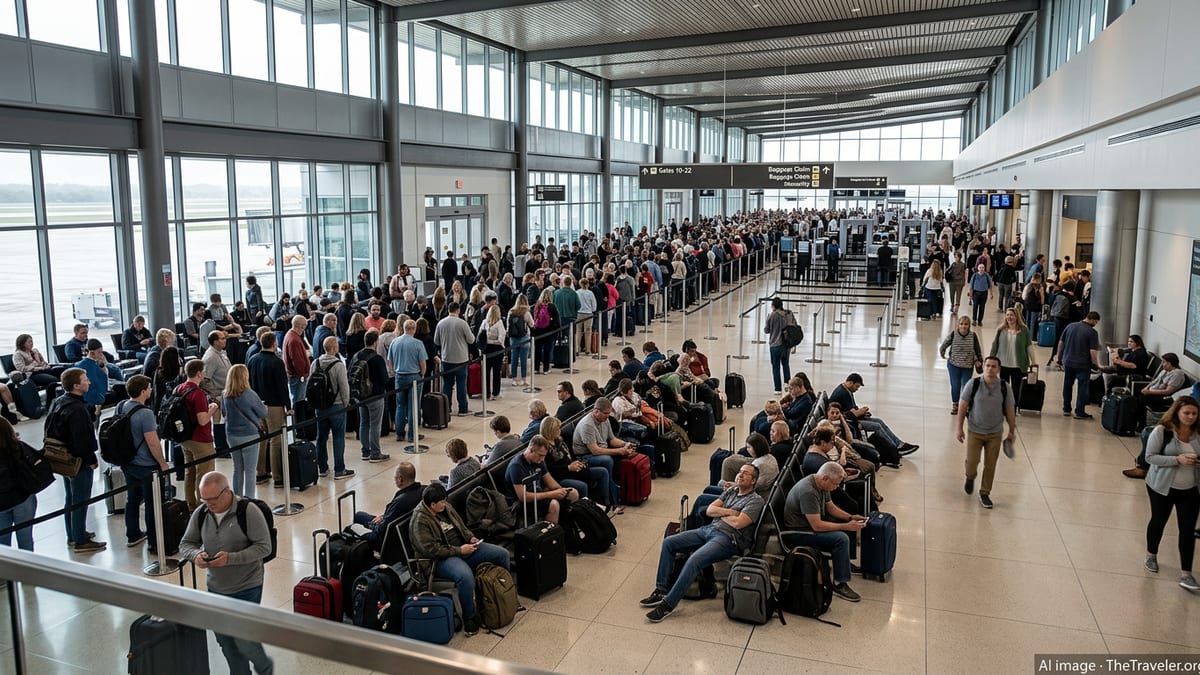
FAA advisories highlight weather-driven slowdowns into AUS
Recent FAA Air Traffic Control System Command Center advisories show Austin-Bergstrom International Airport experiencing arrival delays linked to thunderstorms in the region. One advisory for Austin notes that inbound flights can face holding and arrival delays of up to around half an hour when convective storms build over key approach corridors, constraining the number of aircraft that can safely be sequenced to the airport.
The FAA’s public traffic status pages describe these measures as system-level tools used when weather reduces airspace capacity, including ground delay programs that meter departures from other airports bound for Austin and, in more severe cases, ground stops that temporarily halt some flights from taking off. These initiatives are designed to prevent airborne congestion near storm cells and reduce the risk of extended holding patterns while maintaining safe separation between aircraft.
While the FAA data emphasizes that posted information reflects general airport conditions rather than individual flights, the recent pattern points to short but recurring disruptions whenever storms flare near the Austin metro area or along arrival routes from major hubs such as Dallas-Fort Worth and Houston. Passengers can experience rolling pushbacks, revised departure times, and longer-than-usual airborne vectors as controllers work to route aircraft around the most intense weather.
Thunderstorms and Texas summer travel collide
Central Texas is currently in a period of unsettled weather, with strong afternoon and evening thunderstorms repeatedly forming along outflow boundaries and in the Hill Country west and north of Austin. Meteorological outlooks circulating in airline and aviation forums this week highlight low ceilings, heavy rain, lightning and localized flooding potential around Austin and other South Texas airports, a combination that frequently leads to traffic management measures.
Publicly available FAA weather-delay material notes that convective weather is one of the leading causes of significant delays across the national airspace system in the warm season. Thunderstorms can quickly erode usable airspace, forcing controllers to close or restrict certain arrival and departure corridors, narrow the usable portion of runways and reduce acceptance rates for landings and takeoffs.
For Austin, that means storm cells near the airport can rapidly trigger holding patterns for inbound flights, reroutes that add flying time, or, in some cases, diversions to alternate airports when fuel or gate availability becomes a concern. Even when Austin itself is not under a formal ground stop, thunderstorms along the broader route structure in Texas can slow traffic headed toward the city, especially during peak afternoon and evening bank periods.
What travelers flying into Austin should expect
For passengers, the most visible impact of these FAA initiatives is on departure and arrival times. A flight that appears on time at origin can be held at the gate if a ground delay program is in effect for Austin, as departure slots are assigned to keep inbound traffic to AUS at a level the weather and airspace can safely accommodate. That can translate into sudden schedule changes, gate holds of 30 minutes or more, and revised arrival estimates even before boarding.
Once airborne, flights headed for Austin may be placed in holding patterns outside the most active storm cells or given extended routing that curves around convective clusters. In practice, this can mean extra time in the air and downstream pressure on gate availability, which in turn can delay deplaning for aircraft that reach Austin during a busy period. Reports shared by travelers in recent days describe aircraft spending an hour or more on the tarmac waiting for gates as weather and traffic constraints ripple through the operation.
Travelers connecting through Austin or arriving for time-sensitive events should build in additional buffer time during days with forecast thunderstorms. Airlines typically allow same-day changes within fare rules when disruption risk is elevated, and some major carriers occasionally publish travel waivers for the South Texas region when storms are expected to affect multiple airports at once. Monitoring flight status through airline apps and airport displays remains essential, since adjustments can occur repeatedly as storm cells evolve.
How FAA programs manage storm-related congestion
According to publicly available FAA documentation, ground delay programs and related tools are used to balance safety with efficiency when conditions such as thunderstorms reduce the arrival rate an airport can safely handle. Rather than allowing a backlog of aircraft to build up in the sky near a storm-affected airport, these programs meter departures from other locations so that inbound flights arrive in a more controlled flow.
In severe convective setups, ground stops may be used to temporarily halt certain flights destined for the affected airport until conditions improve. These are often targeted to specific time windows, routes or sectors of airspace and are adjusted as radar and forecast data change. Because storms over Texas can pulse quickly, restrictions for Austin can begin, ease, and reappear within the same afternoon, which helps explain why passengers may experience a mix of on-time operations and sudden delays on the same day.
The FAA’s system-level reports stress that weather-related constraints at one airport can also have a knock-on effect elsewhere. When Austin’s arrival rate is reduced, aircraft may be held at origin, diverted to alternates such as San Antonio, or see their turn times extended after landing, which can then delay subsequent departures in the aircraft’s schedule. The result is a web of disruptions that can continue even after the heaviest thunderstorms have moved out of the immediate Austin area.
Planning ahead during an unsettled stretch in Austin
With additional rounds of thunderstorms in the forecast for Central Texas, travelers heading into Austin-Bergstrom should anticipate the possibility of FAA-managed delays persisting over the coming days whenever storms overlap with peak travel periods. Historical operations data and recent city briefings on airport performance show that AUS experiences its most acute disruption when intense storms arrive during busy afternoon and evening waves, when runways and gates are already near capacity.
Passengers who have flexibility may find it worthwhile to book morning arrivals into Austin, when the atmosphere is often more stable and traffic volumes slightly lower. For those who must travel later in the day, keeping devices charged, enabling airline push notifications and considering longer connection windows can reduce stress if thunderstorms trigger unexpected holds or schedule changes.
Although the majority of flights are still able to reach Austin safely despite the recent storms, the combination of summer convective weather and tight airport capacity leaves little room for error. Travelers landing at AUS over the next several days are likely to encounter a more unpredictable experience than usual, shaped as much by evolving radar images over Central Texas as by the printed times on their boarding passes.