


More news on this day
Utah’s higher elevations are bracing for a round of early-season snow as the National Weather Service in Salt Lake City warns that mountain travel could be difficult from November 17 to the morning of November 18, 2026, with a second system poised to bring additional mountain snow to the central Rockies later this week.
Get the latest news straight to your inbox!
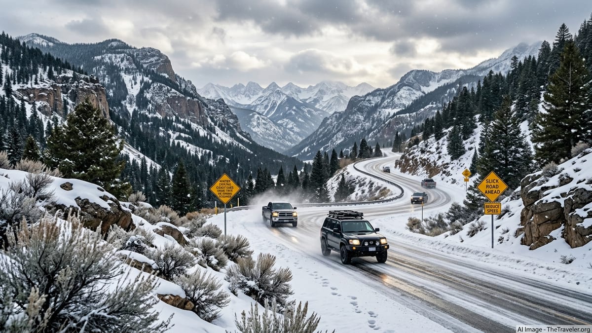
Advisories Target Wasatch, Western Uinta and Southern Utah Mountains
The National Weather Service in Salt Lake City issued Winter Weather Advisories at 10:05 a.m. MST on Tuesday, November 17, 2026, covering the Wasatch Mountains north and south of I‑80, the Wasatch Back and other high terrain zones. Forecasters state that travel could be difficult on mountain routes, with hazardous conditions expected to affect the Tuesday evening commute and linger into early Wednesday as snow continues at higher elevations.
In its Area Forecast Discussion on Tuesday, the NWS highlighted a pattern of valley rain and mountain snow, emphasizing that the most significant impacts will be above the main urban corridors. While this is an advisory-level event rather than a major blizzard, the agency notes periods of reduced visibility, snow-covered passes and slick roads on high routes, especially overnight when temperatures dip and road surfaces cool.
The advisory is currently set to remain in effect until late Wednesday morning for the Wasatch Back and adjacent ranges, with forecasters indicating that snow showers will gradually taper from west to east during the day. Travelers should be prepared for rapidly changing conditions during the advisory window, especially in canyons where elevation rises quickly over short distances.
Snow Totals Focused on High Terrain, With Some Valley Impacts
Forecast guidance from the NWS suggests that the Wasatch, western Uinta and southern Utah mountains could see roughly 6 to 12 inches of new snow from this system, with locally higher peaks potentially receiving more where showers persist. Along the Wasatch Back and some of the colder northern valleys, lighter but still travel-impacting accumulations are expected, particularly overnight and in the early morning hours when snow is more likely to stick to roadways.
Forecasters stress that exact totals will vary by elevation and by canyon. Lower elevations in the Salt Lake Valley and along the urban stretch of Interstate 15 are expected to see mainly rain or a rain–snow mix, with pavement remaining mostly wet. In contrast, roads serving ski areas and high passes are expected to become snow-covered for periods, with slushy or packed snow surfaces on untreated stretches.
Because this is one of the first widespread mountain snow events of the season, even modest accumulations can catch drivers off guard. Vehicles without snow tires or adequate traction can experience longer stopping distances and difficulty on grades, particularly on shaded canyon curves where melting and refreezing may lead to patchy ice.
Key Corridors: Canyons, Passes and Access to Ski Country
The greatest travel challenges through Wednesday morning are expected along high-elevation highways and canyon roads that cross the Wasatch and connect to ski destinations. These include routes over the Wasatch Back and mountain access roads that climb quickly from the Salt Lake and Utah valleys into resort areas, where snow bands are likely to be more persistent and intense than in the valley floors.
Drivers bound for national parks or southern Utah recreation areas via higher passes should also anticipate winter driving conditions across the southern mountains, where several inches of snow are forecast. Even if park entrances themselves remain mainly wet, the approach routes over higher ridges may feature reduced visibility in falling snow and sections of compact snow and ice.
On the interstate network, I‑15 through the Salt Lake Valley is currently expected to remain mostly wet during this event, though brief slushy periods are possible where heavier showers pass at night or early morning. In contrast, segments of I‑80 and other cross-mountain routes are more exposed to accumulating snow, especially near summits and on east- and north-facing slopes where snow lingers longer on the pavement.
What Drivers and Air Travelers Should Do Over the Next Few Days
For road travelers, the most important step is to check the latest Utah Department of Transportation road conditions and any chain or traction requirements before entering mountain corridors. Advisory-level storms can still lead to spinouts and intermittent closures when unprepared vehicles encounter sudden snow squalls or slick grade sections. Carrying appropriate winter tires or chains, allowing extra time, and having a full fuel tank and winter gear are all prudent measures for trips into the Wasatch, western Uinta or southern mountains through Wednesday morning.
Air travelers using Salt Lake City International Airport should monitor airline notifications closely for flights scheduled in the late evening and early morning, when snow showers in the vicinity of the airport and along approach paths may be most frequent. At this stage, forecasters and airport operators are not signaling widespread disruption, but periods of deicing and minor delays are possible if snow bands line up with peak departure or arrival windows.
Looking beyond the current advisory, national forecast centers indicate another storm system is expected to affect the central Rockies, including parts of Utah, later this week, with additional significant mountain snow possible. Travelers planning weekend drives into ski country or cross-Rockies road trips should continue to monitor updated forecasts, hazard outlook maps and state transportation alerts so they can adjust routes or timing if confidence in heavier snow over key passes increases.