


More news on this day
A powerful heat wave gripping large portions of the United States this week is raising the risk of significant flight delays at several major airports, as extreme temperatures combine with volatile summer storms and already crowded schedules to strain the country’s air travel system.
Get the latest news straight to your inbox!
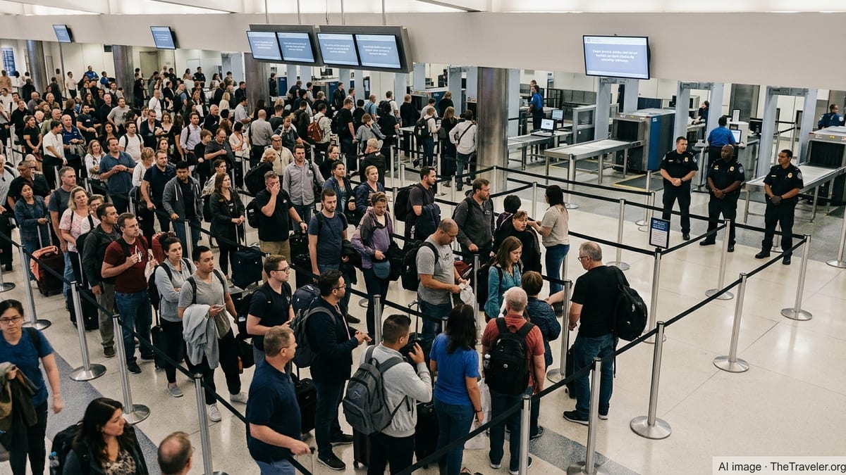
Heat Wave Intensifies Pressure on Summer Air Travel
Publicly available weather analyses show a strong heat dome parked over central and southern parts of the country, with tens of millions of residents under excessive heat alerts. The pattern is contributing to high temperatures, elevated humidity and unstable air that can quickly spawn disruptive thunderstorms in key aviation corridors.
Federal aviation data and daily traffic reports indicate that weather remains the leading cause of systemwide delays, and extreme heat often arrives hand in hand with convective storms, reduced visibility and ground-stop programs. This week’s conditions are emerging at the height of the U.S. summer travel season, when schedules are already dense and room to absorb disruption is limited.
Recent national airspace summaries point to recurring bottlenecks at major coastal hubs and high-volume inland fields whenever heat-driven storms flare along the Eastern Seaboard, the Great Lakes and parts of the South. As the heat wave persists, analysts expect more frequent airborne holding, arrival metering and ground delay programs at airports where runway capacity and airspace are especially constrained.
Operational records from recent summers also suggest that late-afternoon and evening departures are particularly vulnerable on hot days. Aircraft and crews often begin those periods carrying earlier delays, and any new weather restrictions or ground stops can cascade across multiple routes.
New York and New Jersey Hubs Among Top Delay Risks
Public dashboards tracking the National Airspace System show that the three major New York area airports remain a focal point whenever severe summer weather develops. LaGuardia, John F. Kennedy and Newark Liberty frequently experience ground stops, arrival spacing programs and extended taxi times when storms and low clouds build along the densely trafficked Northeast corridor.
The New York region’s complex airspace, high traffic volumes and short runway configurations at some fields leave limited flexibility when heat-driven convection develops. Even isolated thunderstorms can sharply reduce arrival and departure rates, quickly generating backlogs that ripple into later bank structures and connecting flights.
Regulatory filings and recent scheduling orders highlight ongoing efforts to cap or trim peak operations at these airports to manage chronic congestion. However, the current heat wave is likely to renew stress on those limits as airlines operate close to capacity and travelers crowd popular transcontinental and transatlantic routes.
Travel waiver notices published by large carriers in recent days repeatedly reference the New York area as a high-risk zone for weather-related disruption. These notices, issued in advance of forecast storms, suggest that the trio of airports is again expected to sit near the top of delay rankings as the hot, unstable air mass lingers.
Philadelphia, Washington and Boston Face Compounding Storm Threats
Alongside the New York hubs, major airports in Philadelphia, Washington and Boston are emerging as significant points of concern in the current pattern. According to recent coverage of systemwide disruptions, ground stops and extended delays have repeatedly affected Philadelphia International, Boston Logan, Ronald Reagan Washington National and Washington Dulles when storms track along the Mid-Atlantic and New England coast.
These airports sit in tightly packed airspace that must be carefully sequenced with New York operations, which means that any thunderstorm complex moving through the region can trigger constraints across multiple fields at once. When heat and humidity climb, the likelihood of strong afternoon storms increases, narrowing the operating window for on-time departures and arrivals.
Flight-tracking analyses from the past several days have shown large numbers of delayed and canceled flights tied to this volatile weather corridor. Airlines have responded by publishing flexible rebooking policies for passengers traveling into and out of the affected airports, signaling that they anticipate further schedule impacts as the hot, unstable conditions persist.
Given the interdependence of East Coast routes, even flights that do not originate or terminate at these hubs can be affected if aircraft or crews are scheduled to pass through the region. For travelers, that raises delay risk well beyond the immediate metropolitan areas under the heaviest heat alerts.
Southern and Central Hubs Grapple With Heat and Volume
Farther south and inland, major connecting hubs such as Atlanta, Dallas Fort Worth and Houston Intercontinental are also under scrutiny as temperatures climb. Climatological data and previous years’ delay statistics show that these airports frequently experience summer disruptions when high heat combines with scattered but intense thunderstorms.
Operational data from the Federal Aviation Administration indicate that busy hub airports with heavy connecting banks are particularly sensitive to any reduction in runway capacity. At locations where peak-day schedules are already near saturation, even short-lived convective cells can trigger holding, route adjustments and ground delay programs that quickly affect thousands of passengers.
In the current heat wave, meteorological outlooks point to continued high temperatures and elevated heat indices across portions of the Southeast and lower Plains. That environment favors the rapid development of storms during afternoon and evening push periods, placing additional stress on airlines’ ability to maintain tightly timed connections at these central hubs.
Recent delay rankings compiled from domestic flight data have often placed several southern airports high on the list of fields with above-average late departures when extreme heat is present. While the exact mix of affected airports shifts day by day, patterns from recent weeks suggest that travelers using these hubs during the hottest part of the day may face an increased likelihood of schedule changes.
Orlando, Chicago and Other High-Volume Airports Under Watch
Some of the country’s busiest leisure and business gateways are also attracting attention as the heat wave unfolds. Data-driven rankings of U.S. airports by delay rates have consistently flagged Orlando’s main passenger airport as especially vulnerable during peak travel periods, and strong heat only compounds that risk by increasing thunderstorm frequency over central Florida.
Public meteorological and aviation reports show that Florida’s peninsula often acts as a focus for intense, short-lived storms that blossom in the late afternoon when heat and humidity peak. When those storms line up with departure banks oriented toward the Northeast and Midwest, arrival and departure rates at Orlando and nearby fields can fall sharply, creating knock-on delays for the wider network.
Farther north, recent case studies from the upper Midwest have documented how early-season heat episodes combined with severe storms to disrupt operations at major Chicago-area airports. With the current heat wave projected to expand across parts of the central United States, both O’Hare and Midway are being closely watched for signs of renewed strain, especially during late-day departure waves.
Other large airports in the central and western United States, including Denver and Phoenix, also face operational adaptations during extreme heat, ranging from performance-related payload limits to tighter runway spacing in periods of reduced density altitude. While these measures are designed to keep operations safe, they can also contribute to slower throughput when demand is high.
What Travelers Can Expect as the Heat Wave Continues
For travelers, the clustering of risk across roughly ten high-volume U.S. airports means that disruption at just a few hubs can quickly propagate across the national network. Public delay reports from recent weeks illustrate how ground stops at a handful of coastal and hub airports can translate into nationwide waves of missed connections and late arrivals.
Historical analyses of domestic flight performance show that earlier departures, particularly on the first flights of the day, tend to be less exposed to cascading delays. On days when heat-driven storms are in the forecast, this pattern may become even more pronounced as afternoon operations run into a mix of weather and airspace constraints.
Airlines and aviation agencies continue to publish real-time updates through public dashboards, social media feeds and travel advisories, offering a closer look at which airports are seeing the greatest impacts on a given day. With the present heat wave forecast to linger, those tools are likely to remain central for passengers trying to navigate one of the most challenging travel stretches of the summer.
While the precise list of airports at “highest risk” will evolve as the heat dome shifts, current data and recent disruption patterns point most clearly to the New York region, Philadelphia, Washington, Boston, Orlando, Atlanta, Chicago and the major Texas hubs as critical pressure points in the system during this latest spell of extreme heat.