


More news on this day
Heavy thunderstorms tracking across Georgia have triggered flash flood warnings and travel disruptions on Wednesday, with aviation data showing mounting delays and ground holds at key airports as storms sweep through the state.
Get the latest news straight to your inbox!
Storm Cells Train Across North and Central Georgia
Radar imagery and public weather updates indicate clusters of slow-moving thunderstorms stretching from northwest Georgia through the Atlanta metro and into parts of central Georgia. The storms are repeatedly passing over the same corridors, a pattern known as training that heightens the risk of flash flooding in a short period of time.
National guidance on flash flood warnings notes that such alerts are issued when flash flooding is occurring or imminent, often in areas where intense rainfall is focused over a narrow band. This type of setup has been observed frequently in Georgia during recent warm seasons, with saturated ground and urban runoff combining to overwhelm drainage systems.
Hydrology outlooks for the region emphasize that even a few inches of rain in an hour can lead to fast-rising water on creeks, small rivers, and city streets. Low-lying neighborhoods, underpasses, and spots with poor drainage are typically the first to see standing water, but swollen streams can also threaten roadways that are normally considered safe.
Emergency planning documents for Georgia describe a graduated scale of flood alerts culminating in flash flood warnings, which signal the highest level of concern. Under these conditions, state and local agencies typically elevate their posture, while transportation operators monitor real-time conditions for signs that routes need to be rerouted or temporarily closed.
Hartsfield-Jackson and Regional Airports See Weather Slowdowns
Flight-tracking dashboards and airline status pages on Wednesday show weather-related disruptions centered on Hartsfield-Jackson Atlanta International Airport, one of the busiest hubs in the United States. Periods of heavy rain, lightning, and low ceilings are limiting operations, with some departures held at gates and arrivals slowed on final approach.
Ground stops and flow restrictions are a common response when thunderstorms pass directly over a major airport, cutting visibility and introducing wind shear and lightning risk. Even when the most intense cells move through quickly, the resulting backlog can persist for hours as aircraft wait for new departure slots and crews time out of their duty windows.
Reports from recent storm events at Atlanta show how quickly local weather can cascade into nationwide delays. When hail and brief ground closures have occurred in past months, hundreds of flights were canceled or significantly delayed, underscoring the sensitivity of the wider U.S. network to disruptions at this central hub.
Regional airports across Georgia, including facilities serving cities such as Augusta, Savannah, Columbus, and Macon, are also watching the storms closely. While these fields typically experience fewer total flights than Atlanta, they can be more vulnerable to flooding on access roads and ramp areas, which complicates both airline and general aviation operations.
Flash Flood Warnings Heighten Travel Concerns on Roads and Rails
Beyond the immediate impact on air travel, the active flash flood warnings raise concerns for ground transportation throughout affected counties. Meteorological briefings for Georgia highlight that training thunderstorms can quickly overwhelm storm drains and small waterways, turning familiar routes into hazardous crossings.
Transportation planning documents for the state caution that flash flooding is particularly dangerous at night and during rush periods, when drivers may be tempted to push through standing water. Historical case studies note that a significant share of flood-related fatalities in the region has occurred in vehicles, often where water obscures washed-out pavement or fast-moving current.
Rail lines and bus systems can also experience weather-related interruptions. Heavy rainfall and saturated soils increase the risk of debris on tracks, while localized street flooding can force detours and slowdowns for intercity and local bus routes. These complications add to the travel uncertainty for visitors attempting to connect between airports and city centers.
City and county emergency plans in Georgia describe flash flood warnings as a signal to reassess travel that is not strictly necessary. For travelers who must be on the move, the guidance stresses allowing extra time, staying informed about changing conditions, and having backup routes in mind if primary highways or bridges become impassable.
Travelers Face Missed Connections and Extended Airport Stays
The combination of convective storms and airspace constraints is producing a familiar pattern for airline passengers in Georgia: rolling departure times, missed connections, and longer than expected waits in terminals. Aviation research on extreme weather impacts shows that even a short ground delay at a major hub can ripple through the system as aircraft and crews fail to arrive on schedule for subsequent legs.
Studies on delay propagation in the national airspace system point out that hubs such as Atlanta are linchpins in the network. When storms reduce arrival and departure rates for several hours, downstream airports across the United States often experience secondary delays as carriers reposition aircraft and rebook disrupted passengers.
For travelers already en route to or from Georgia, extended dwell times in concourses and on taxiways can be a byproduct of these constraints. Academic analyses using passenger location data during severe weather events have documented substantial increases in time spent at airports when thunderstorms or heavy rain affect key nodes in the system.
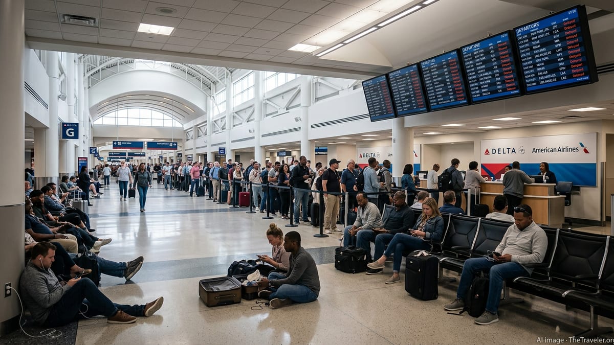
Travel forums and social media posts from recent storm episodes in Atlanta describe passengers enduring multi-hour tarmac waits and crowded gate areas when lines of storms stalled over the airport. Today’s pattern of slow-moving cells raises the risk of a similar dynamic, particularly during the busiest afternoon and evening departure banks.
What Travelers Headed to Georgia Should Expect
With flash flood warnings active and additional thunderstorms in the forecast, travelers headed to or through Georgia should anticipate periodic disruptions through the day and possibly into the night. Aviation planners generally advise that schedules are most vulnerable when storms coincide with peak traffic waves, narrowing the window for airlines to make up lost time.
Publicly available guidance for air passengers suggests checking flight status frequently, enabling airline notifications, and considering earlier departures when possible to reduce exposure to cascading delays. For those connecting through Atlanta or other Georgia airports, building extra buffer time between flights can offer more options if rebooking becomes necessary.
On the ground, visitors are encouraged by safety campaigns to treat any flash flood warning as a clear signal to avoid driving through water-covered roads, even when conditions appear manageable. Short bursts of intense rainfall can quickly alter local conditions, and detours or short delays are generally considered safer than attempting to keep to a tight schedule in rapidly changing weather.
As the current round of storms moves across the state, operational data and public forecasts will determine how quickly Georgia’s airports can return to typical throughput. Until then, travelers planning to fly into or out of the region are likely to face a day of slower journeys, flexible itineraries, and a heightened emphasis on safety over speed.