


More news on this day
Thick fog forecast across large parts of England and Wales has prompted a yellow weather warning and raised the prospect of slower road journeys, disrupted rail services and potential flight delays through Monday morning.
Get the latest news straight to your inbox!
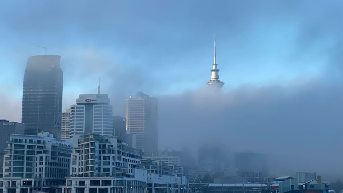
Yellow fog alert in force through Monday morning
The Met Office has issued a yellow warning for fog covering wide areas of England and Wales from 18:00 on Sunday 8 November until 11:00 on Monday 9 November. Publicly available information shows that the warning stretches across the East Midlands, West Midlands, East of England, London and South East, North West England, South West England, Yorkshire and Humber and much of Wales.
The National Severe Weather Warning Service description indicates that fog patches developing on Sunday evening and overnight are expected to become dense in places, with visibility potentially falling below 50 metres at times. Such conditions are highlighted as capable of causing travel disruption on key road and rail corridors.
Coverage from UK news outlets reports that the warning coincides with Remembrance Sunday events, heightening concern about early-morning journeys to services and parades. Forecasts indicate that fog could be particularly persistent in rural parts of the Midlands, Wales and East Anglia, where overnight temperatures are expected to drop close to freezing.
According to published summaries of the alert, the risk period extends into the main Monday morning commute, with forecasters emphasising that fog may be slow to lift in some inland locations even after sunrise.
Road users urged to expect slower journeys
Guidance linked to the Met Office warning states that road users should expect slower journey times where fog becomes dense, especially on motorways and major A-roads. Reduced visibility is likely to require lower speeds and increased stopping distances, and drivers are being advised through public-facing information to allow extra time for travel.
Advice sections associated with the warning encourage motorists to check their vehicle lights before setting off and to know how to operate front and rear fog lamps if visibility deteriorates. Travel pages summarising the alert also highlight the risk of localised freezing fog patches where temperatures fall close to or below 0 Celsius, which can lead to icy stretches on untreated surfaces.
Transport reports point to previous UK fog events where unprepared drivers faced sudden visibility changes, particularly when moving between higher ground and low-lying river valleys. The current alert notes that conditions may vary significantly over short distances, with some stretches seeing clear air while others experience thick banks of fog.
Publicly available guidance also reminds drivers that dense fog at junctions and slip roads can make it harder to judge the speed and distance of other vehicles, increasing the need for caution when joining fast-moving traffic.
Rail and air passengers face risk of disruption
The yellow warning text notes that bus and train services may experience delays where fog affects line-side visibility or requires lower operating speeds. National and regional operators often adjust timetables or impose speed restrictions when visibility drops sharply, which can have knock-on effects across the wider network.
Recent coverage from UK media outlets highlights concern around early-morning intercity and commuter services on Monday, particularly on routes crossing affected parts of the Midlands, Wales and eastern England. Passengers are being advised in public information notices to check live journey planners and operator updates before travelling.
The Met Office warning also refers to a chance of delays or cancellations to flights. Aviation reports note that thick fog around major airports can reduce runway capacity and, in some cases, suspend operations until visibility improves. London airports, as well as hubs in the Midlands and North West England, all sit within or close to the current warning area.
Airlines typically respond to such conditions by spacing arrivals and departures further apart or diverting flights when low-visibility procedures are in force. Travel advice linked to the alert recommends that passengers monitor airline apps and airport departure boards closely on Sunday night and Monday morning.
How the UK fog warning system works
The fog alert has been issued through the National Severe Weather Warning Service, the framework the Met Office uses to flag hazardous conditions such as rain, wind, snow, ice, thunderstorms, heat and fog across the United Kingdom. Public documents describing the system explain that warnings are graded yellow, amber or red depending on both the likelihood of severe weather and the potential impact.
For fog, yellow warnings typically indicate a risk of travel disruption, with possible delays to road journeys and to bus, rail and air services. Earlier government guidance on severe weather notes that fog warnings are issued where visibility is expected to fall low enough to cause significant disruption on transport networks, particularly when coinciding with peak travel periods.
Accessible versions of the current warning show a broad swathe of England and Wales shaded for potential impacts through Monday morning, reinforcing that disruption could be fairly widespread even if not all locations experience the densest conditions. The system also allows for updates, and publicly available information stresses that warnings may be expanded, reduced or cancelled as conditions evolve.
Since 2024, the Met Office has also had the option to use the UK Emergency Alerts platform for the most serious weather situations. Recent documentation explains that this mechanism is reserved for higher-impact scenarios than the present yellow fog warning, but it underlines the increasing role of digital alerts in UK weather communication.
Practical steps for travellers in affected regions
Travel guidance associated with the fog alert suggests that anyone planning journeys in the warning area between Sunday evening and late Monday morning should build flexibility into their plans. For road users, that includes leaving earlier where possible, checking regional traffic information and being prepared to postpone non-essential trips if visibility becomes very poor.
Rail passengers are encouraged, in operator and media advice, to verify the status of early-morning trains before leaving home and to consider alternatives if key routes show repeated delays. Those connecting to long-distance services through hubs in Birmingham, Manchester, Cardiff or London may wish to allow additional transfer time in case of slower running.
For air travellers, publicly available information from previous fog events indicates that early departures and late-night arrivals tend to be most at risk of schedule changes when visibility deteriorates. Checking in online, monitoring airline notifications and travelling with essential items in cabin baggage can help reduce disruption if flights are retimed or rerouted.
Across all modes, forecasters emphasise that fog can clear quickly once conditions change, but it can also linger in some inland valleys and basins. As the current yellow warning remains in place until 11:00 on Monday, travellers across England and Wales are being encouraged through published guidance to stay updated on local forecasts and transport advisories as the situation develops.