


More news on this day
Travel across parts of England and Wales is facing significant disruption as a yellow weather warning for dense fog remains in force, with forecasters describing current conditions as a "perfect recipe" for severely reduced visibility on roads, railways and at airports.
Get the latest news straight to your inbox!
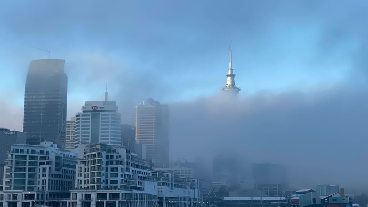
Yellow fog warning covers key road and rail corridors
The Met Office has issued a yellow warning for fog from 6 p.m. on Sunday 8 November until 11 a.m. on Monday 9 November, covering a broad swathe of central and southern England as well as parts of Wales. The warning area stretches roughly from York in the north to Bath in the south, taking in much of the Midlands, the South East and eastern England, with additional patches highlighted across north Wales and north-west England.
According to publicly available forecast data, the thickest fog is expected in low-lying areas and river valleys within this zone, where visibility could fall to around 50 metres or less at times. The Met Office warning notes that such conditions are likely to lead to slower journey times on major routes and a higher risk of localised disruption during the Monday morning commute.
Forecast maps show that while the focus is on central and southern England, pockets of fog are also possible across the West Country, Northern Ireland and into the central belt of Scotland. In these areas, the fog is expected to be more patchy but could still cause sudden changes in visibility for drivers, particularly during the late evening and early morning hours.
Met Office guidance linked to the warning emphasises that conditions may vary considerably over short distances, with stretches of clear road suddenly giving way to dense fog banks. Travellers are being advised to monitor local forecasts closely and to be prepared for rapidly changing conditions along their routes.
Flights, trains and roads face potential disruption
Coverage from national broadcasters and UK news outlets indicates that the primary concern is disruption to early morning flights and commuter traffic into major cities including London, Birmingham, Cardiff and Manchester. The yellow warning highlights a risk of delays and a small chance of cancellations at airports where low cloud and fog restrict the number of take-offs and landings that can be handled safely.
Rail operators and transport reporters are also flagging the possibility of slower services on affected routes, particularly where reduced visibility requires more cautious signalling and speed restrictions. Although widespread cancellations are not currently indicated, publicly available information suggests passengers may experience longer journey times on some early services.
On the roads, previous incidents over the weekend have underlined the hazards. National Highways reports show that a stretch of the M20 in Kent was temporarily closed on Saturday evening after a multi-vehicle collision in thick fog, with several people injured. That incident has been widely cited as an example of how quickly conditions can deteriorate on busy motorways when visibility drops sharply.
Drivers’ groups and motoring organisations are reiterating established safety advice for foggy conditions, including slowing down, increasing following distances, avoiding full-beam headlights and using front and rear fog lights only when visibility falls below 100 metres. Public guidance stresses that high beams can make it harder to see by reflecting light back off the fog, whereas dipped headlights and fog lights help to maintain contrast without excessive glare.
What is creating the ‘perfect recipe’ for fog?
Meteorologists point to a combination of high pressure, clear skies, light winds and long November nights as the key ingredients behind the current fog episode. According to published Met Office commentary, an area of high pressure settled over the UK has allowed daytime moisture to linger near the surface, while clear overnight skies enable temperatures to fall quickly towards freezing.
As the air cools close to the ground, it reaches saturation point, leading to the development of widespread radiation fog. With very little wind to disperse it, this fog layer can become dense and slow to lift, persisting well into the following morning. Publicly available analysis notes that when overnight temperatures dip close to or below 0C, fog can also be more stubborn, clinging to rural areas and shaded stretches of road.
Forecasters have described this pattern as a “perfect recipe” for fog, a phrase repeated across several UK outlets covering the current warning. High pressure effectively traps pollution and moisture near the surface, and in the aftermath of Bonfire Night celebrations, additional smoke particles in the lower atmosphere can provide extra nuclei around which tiny water droplets form, thickening any mist and reducing visibility further.
Met Office climatological information shows that such setups are more common during late autumn and early winter, when nights are long enough for extensive cooling but before more vigorous Atlantic weather systems return in force. Current outlooks suggest that as frontal systems move in from the southwest later in the week, stronger winds and rain are likely to disperse the fog, replacing the current hazard with a more unsettled pattern of showers and gusty conditions.
Guidance for travellers across affected regions
Publicly available Met Office travel guidance linked to the warning encourages road users to check conditions before setting out, allow extra time for journeys and consider delaying non-essential travel during the worst of the fog. Drivers are urged to ensure that lights and wipers are working properly, to keep windscreens and mirrors clear of condensation, and to avoid relying solely on satnavs when visibility is poor.
Transport operators are advising passengers to verify the status of flights, trains, coaches and ferry services before departing for terminals or stations. Many airlines and rail companies are offering real-time updates through mobile apps and social media feeds, which can provide early notice of delays, diversions or rebooking options if visibility remains below operating thresholds.
For those already on the road, safety campaigns in the UK highlight the importance of maintaining a larger gap to the vehicle in front, using demisters and air conditioning to prevent inside fogging, and avoiding sudden braking or lane changes that could surprise other drivers in low visibility. Motorway matrix signs and local radio travel bulletins are likely to carry targeted messages in areas where dense fog is reported.
Pedestrians and cyclists in affected towns and cities are also being urged, in public safety messaging, to wear bright or reflective clothing and to use lights even at dawn and dusk. Reduced visibility can make it harder for drivers to see vulnerable road users, particularly at junctions and pedestrian crossings where approach speeds may still be relatively high.
Outlook: fog risk easing but further warnings possible
Forecast discussions from the Met Office indicate that the current fog is expected to lift gradually through late Monday morning, although some patches may linger into the early afternoon in sheltered locations. As the high-pressure system weakens and frontal rain approaches from the southwest, winds should increase slightly, reducing the likelihood of similarly widespread fog on subsequent nights.
However, forecasters caution in publicly available briefings that further localised fog patches remain possible during the week ahead, especially following any evening rainfall that leaves surfaces damp under clearing skies. The Met Office’s National Severe Weather Warning Service notes that warnings for fog, ice, wind or rain may be updated at relatively short notice as confidence in specific impacts changes.
Travel industry observers therefore recommend that anyone planning long-distance journeys in the coming days builds flexibility into itineraries, particularly for early-morning departures. Monitoring regional forecasts and warning maps on the day of travel is being emphasised as the most reliable way to assess whether further fog-related disruption is likely to affect particular routes.
With Remembrance Sunday events and the run-up to the festive travel season bringing more people onto the transport network, the current episode is being viewed as a reminder of how quickly routine journeys can be affected by sudden weather hazards. Public information campaigns are underlining that adapting plans to changing conditions remains one of the most effective ways for travellers to stay safe and reduce the risk of delays.