
More news on this day
Fukuoka’s compact cityscape is being redrawn in real time, as new subway links, redevelopment projects and digital tools change how visitors read and use the city map.
Get the latest news straight to your inbox!
A Compact City Where the Airport Sits on the Map’s Edge
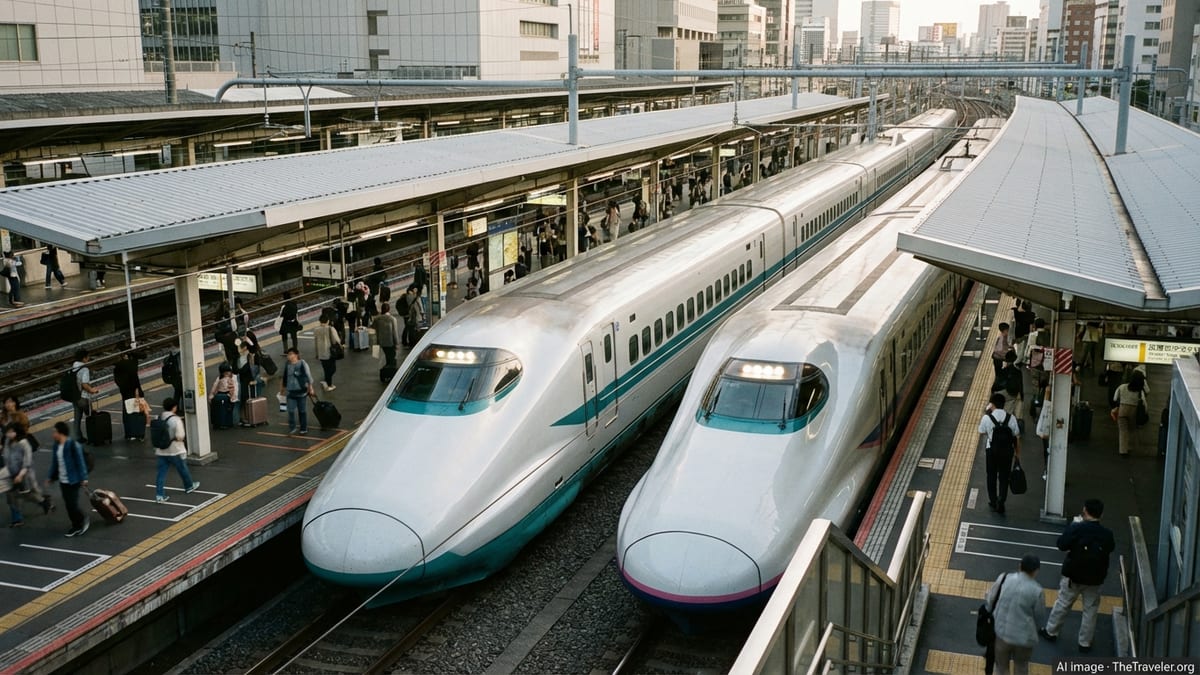
Fukuoka’s city map stands out in Japan because of its unusual proximity between airport and downtown. Publicly available information shows that the Fukuoka City Subway’s Airport Line links Fukuoka Airport to Hakata Station in about five minutes and to Tenjin in roughly eleven, placing the terminal on the very edge of the urban rail diagram but only a few stops from the main commercial districts.
The subway network itself is relatively small compared with those of Tokyo or Osaka, with three color coded lines and just over 30 stations, but route maps highlight how much of the city’s visitor infrastructure fits inside a tight loop around Hakata, Tenjin and the waterfront. Station names such as Gion, Nakasu Kawabata, Ohori Park and Tojinmachi form a spine that connects business areas, nightlife, historic districts and the baseball stadium precinct.
Tourism guides emphasize that this compact geography makes Fukuoka particularly suited to travelers who prefer to walk between neighborhoods while using the subway for longer hops. Printed and digital city maps now typically show walking times between hubs like Hakata and Tenjin alongside train journey times, underlining how closely knit the urban core has become.
Subway Extensions Redraw the Central Transit Map
Recent changes to the Fukuoka City Subway have forced a quiet but significant redraft of many city maps. The green coded Nanakuma Line, which once terminated at Tenjin Minami, was extended in 2023 through to Hakata Station. Updated network diagrams now depict a continuous east west arc beneath the city center, giving visitors another cross town option that does not rely solely on the Airport Line.
Maps distributed by transit information sites and tourist publications now show the system as three intersecting corridors rather than a single dominant east west link. The Airport Line crosses beneath the city from Fukuoka Airport through Hakata and Tenjin toward Meinohama, the Hakozaki Line branches off toward the eastern suburbs from Nakasu Kawabata, and the Nanakuma Line snakes from Hashimoto in the west through Tenjin Minami to Hakata.
This layout is increasingly important for visitors planning multi stop days across the city. Where older guidebooks might have directed travelers to walk between Tenjin Minami and Hakata or transfer via surface buses, more recent city maps suggest using the Nanakuma Line as a fast connector. That shift in representation is changing how people mentally map the distance between Hakata’s rail hub, the shopping districts of Tenjin and the surrounding residential quarters.
Tenjin and Hakata at the Center of Visitor Maps
Most traveler focused city maps still hinge on the twin anchors of Tenjin and Hakata. Hakata Station appears as a major rail icon where the shinkansen, conventional JR lines and the Airport Line converge. From there, cartographers typically draw radiating corridors toward Canal City Hakata, the riverside Nakasu entertainment zone and the waterfront ferry terminals, all within a short walk or a single subway stop.
Tenjin, on the other hand, dominates the commercial and shopping map. Tourism promotion material describes it as the heart of Kyushu’s business and retail scene, and many maps devote extra detail to the warren of streets that fan out from Tenjin and Tenjin Minami stations. Underground malls, department stores and bus terminals are often shown as shaded blocks, reflecting their role as transfer points between subway, private rail and the extensive city bus network.
The connection between these two hubs is now illustrated in several overlapping ways. On subway diagrams, Hakata and Tenjin are a handful of stops apart on the Airport Line. On walking and cycling maps, they are shown as a straight corridor of about two kilometers, lined with offices, hotels and mid scale shopping streets. Journey planners increasingly present the two areas as interchangeable bases, with icons marking easy onward links to Ohori Park, Fukuoka PayPay Dome and the redeveloped Momochi waterfront.
Walking Maps and Waterfront Routes Gain Attention
Beyond the subway schematic, a growing number of themed walking maps are reshaping how visitors interpret Fukuoka’s layout. Recent publications highlight historical walks through Hakata Old Town, architectural routes around Tenjin and green corridors that connect Maizuru Park, Ohori Park and the surrounding residential districts. These maps often compress the scale to show how parkland and shrines lie only a short stroll from dense commercial streets.
Waterfront areas also feature more prominently in new cartographic material. The coastal strip around Momochihama, Fukuoka Tower and the PayPay Dome has long been promoted as a leisure zone, but refreshed maps now depict improved pedestrian routes from nearby subway stations and bus stops. The intention is to make it clearer that sandy beaches and seaside promenades are accessible as part of a half day itinerary from the city center rather than a distant excursion.
City issued and independent maps increasingly combine icons for running routes, cycling paths and public art with conventional transit information. The result is a more layered picture of Fukuoka than a simple station to station diagram, especially for visitors who want to move between shopping, cultural sites and coastal scenery without relying on taxis.
Digital Navigation and Passes Change How Maps Are Used
The growing use of contactless payment and mobile navigation tools is also influencing how travelers interact with Fukuoka’s city map. Route planners integrated into smartphone apps now overlay real time subway and bus information on top of conventional cartography, making it easier to see whether a short journey is faster on foot, by train or by bus.
Transport operators and travel publications promote one day passes for the subway and bus networks, presenting sample sightseeing itineraries printed beside simplified maps. Some recent guidance notes that capped fares for users of certain contactless payment methods can mirror the cost of a one day subway pass, encouraging more casual use of the network and spontaneous detours.
At the same time, independent mapping projects, including schematic diagrams of the combined subway and local railway lines, are gaining attention in online communities. These unofficial visuals often experiment with clearer labeling of interchanges between the city subway, the Nishitetsu private railway and JR services, offering alternative ways for visitors to understand Fukuoka’s role as a regional hub.
Together, these developments mean that while the geographic footprint of central Fukuoka remains compact, the way it appears on maps is becoming more complex. For travelers, the changing cartography is opening up fresh ways to connect airport, station, shopping streets, parks and waterfront within a single, easily navigable city frame.