


More news on this day
Travel across parts of England and Wales is expected to be disrupted this morning after the Met Office issued a yellow fog warning covering 36 areas, with dense patches reducing visibility on key road, rail and air routes.
Get the latest news straight to your inbox!
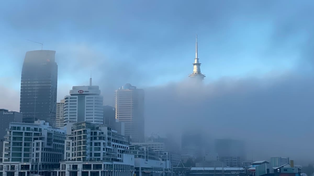
Yellow fog warning in force across England and Wales
According to publicly available information from the Met Office and national media, the yellow weather warning for fog was issued at around 4:12 a.m. on Saturday 31 October 2026. The alert came into force from 4 a.m. and is scheduled to remain active until 10 a.m., covering a broad swathe of central and southern Britain.
Coverage in outlets such as ITV News and AOL indicates that the affected zone stretches across parts of England and Wales, with 36 local areas or counties identified in the latest mapping. These include sections of the Midlands, eastern and southeastern England, as well as parts of south Wales, where early morning fog has formed under calmer conditions following a week of stormier weather.
The Met Office yellow warning notes the risk of significantly reduced visibility in some locations, particularly on higher ground and in rural corridors where cold air and light winds have allowed thick fog to settle. While many places are expected to see some improvement by late morning, forecasters caution that pockets of poor visibility may linger longer in sheltered valleys.
Forecasters also highlight that the warning area and timing may be updated as satellite imagery and surface observations evolve through the morning. Travellers with departures during the early peak are being advised via public channels to check for the latest warning status before setting out.
Road, rail and air travellers face possible delays
The Met Office warning states that dense fog patches could bring slower journey times on roads, with a particular focus on major motorways and A-roads linking the Midlands to London and the southeast. National media reports suggest that routes such as the M1, M4, M5 and M40 corridors lie within or close to the warning polygon at various points, raising the potential for speed restrictions and congestion where visibility suddenly deteriorates.
Motoring and travel updates issued overnight emphasise that visibility may fall below 100 metres in the thickest fog, especially around river valleys and low-lying stretches of dual carriageway. Drivers are being reminded through public information campaigns to use dipped headlights rather than full beam, switch on rear fog lights where visibility is severely reduced, and maintain extra distance from the vehicle ahead.
On the rail network, train operators are flagging the potential for minor delays on some early services where reduced visibility requires lower line speeds or additional signalling checks. Publicly available timetable information shows that key commuter routes into London, Birmingham, Cardiff and Bristol are running, but advisory notices encourage passengers to allow extra time and monitor live departure boards for short-notice changes.
Airports within the warning area, including several major English hubs, have also issued general cautionary notes that low visibility procedures may be required during the morning peak. Aviation guidance indicates that this can lead to increased spacing between aircraft for landing and departure, which in turn may cause knock-on delays to short-haul European and domestic services even after the fog begins to lift.
Fog follows a week of storms and high winds
The latest fog alert comes at the end of a turbulent spell of weather that has seen successive Atlantic systems cross the United Kingdom. In the past two weeks, storms such as Austen and Boelo have brought strong winds, heavy rain and widespread travel disruption, with amber and yellow wind warnings issued for parts of Scotland, Northern Ireland and northern England earlier in October.
Met Office briefings this week described a transition from a stormy, unsettled pattern to a calmer regime as pressure rises. Calmer conditions, lighter winds and clearer overnight skies have proven favourable for the formation of radiation fog in inland areas, particularly where ground surfaces remain damp after recent rain.
Weather coverage from broadcasters and national newspapers notes that while today’s hazard is very different in character from the high winds of the recent storms, the net result for travellers can still be disruptive. Fog can be highly localised and slow to clear, meaning that neighbouring areas may experience very different conditions even within the same warning zone.
Met Office guidance explains that yellow warnings are typically issued where there is at least some likelihood of weather leading to low to moderate impacts, including travel disruption in a few places. The fog alert for 31 October is framed in these terms, flagging the possibility of slower journeys and isolated cancellations rather than widespread severe impacts.
What the yellow fog warning means for UK travellers today
For those travelling during the warning window, the key message from public information sources is to plan ahead and build in extra time. Road users are encouraged to check live traffic updates and, where possible, delay non essential journeys until after 10 a.m., when visibility is expected to improve across most of the warning area.
Commuters who must travel during the early morning peak are advised to drive at lower speeds, avoid sudden braking and be prepared for rapidly changing visibility, particularly when moving between higher and lower ground. Guidance from road safety organisations also stresses the importance of keeping windscreens and mirrors clear and using vehicle ventilation to prevent interior misting.
Rail and air passengers are being urged in public messaging to verify the status of their services before leaving home. Many operators now provide real time updates via apps and station displays, and travellers can often rebook on later services at no or reduced cost when weather disruption has been highlighted in advance.
Accommodation providers and tour companies within the warning area are also monitoring the situation after a busy half term period marked by unsettled weather. Some have indicated through public statements that flexible check-in times and alternative excursion options may be available for customers whose arrival or day trips are delayed by the morning fog.
Outlook for the rest of the weekend
Looking beyond the current warning window, Met Office forecasts point to a generally calmer and drier pattern for much of the UK as the weekend progresses. Once the fog lifts, many areas in England and Wales are expected to see brighter or sunny spells with relatively light winds and only isolated showers.
However, forecast guidance also notes that with clear nights and light winds likely to persist in places, there is a chance of further fog formation in some inland valleys and low-lying areas on subsequent mornings. Any new fog patches would be monitored to assess whether additional warnings are required, though no further UK wide alerts for fog had been formally issued at the time of writing.
For travellers planning longer journeys over the rest of the weekend, the broader message from publicly available forecast material is cautiously positive. With the recent sequence of named storms now easing and no immediate return to widespread severe weather flagged, conditions should be more favourable for road, rail and air travel, provided that early morning fog is factored into departure times.
As always during periods of rapidly changing autumn weather, forecasters recommend that anyone with critical connections, such as airport transfers or time sensitive rail journeys, continues to check the latest forecast and operator updates on the day of travel. With visibility and surface conditions able to change quickly, staying informed remains the most effective way to minimise disruption.