


More news on this day
A five-hour Met Office weather warning is in force for 36 areas of the UK, with dense fog and sharply reduced visibility expected to cause early morning disruption for road, rail and air travellers.
Get the latest news straight to your inbox!
Timing and nature of the latest Met Office warning
According to publicly available forecast data, the Met Office has issued a yellow warning for fog covering a five-hour window in the early morning. The alert is scheduled to run until 10am, focusing on the morning commute when many people are on the move for work, school and early departures from regional airports.
The warning highlights the potential for visibility to drop below 100 metres in places, particularly across parts of the Midlands, eastern England and sections of north Wales and northern England. Forecasters indicate that patches of freezing fog are possible where overnight temperatures have fallen close to or below freezing, increasing risks on untreated roads.
Yellow warnings are described in Met Office guidance as signals of low-to-moderate impacts, where some travel disruption is possible and journeys may take longer than usual. Publicly available advice linked to these alerts typically recommends allowing extra time, driving more slowly, and checking transport information before setting out.
Although the warning is limited to a five-hour period, the combination of darkness at the start of the alert window, residual moisture on surfaces and very light winds means fog could be slow to lift in some locations, with localised disruption persisting into late morning.
Full list of 36 areas covered by the yellow fog alert
Reports collating Met Office data show that 36 administrative areas and unitary authorities are included in the current yellow warning for fog. In the East Midlands, the alert covers Derby, Derbyshire, Leicester, Leicestershire, Lincolnshire, Northamptonshire, Nottingham, Nottinghamshire and Rutland.
Further south and east, Bedford, Central Bedfordshire, Cambridgeshire, Hertfordshire, Norfolk and the city of Peterborough are listed within the warning zone. These areas include sections of major trunk routes such as the A1, A14 and A47, where reduced visibility can quickly affect traffic flow and journey times.
The warning also extends into parts of the South East and home counties, including Buckinghamshire and Milton Keynes. To the west, Cheshire East and Cheshire West and Chester are covered, alongside several counties and unitary authorities in north and mid Wales: Denbighshire, Flintshire, Powys and Wrexham.
Across the north of England, Shropshire, Staffordshire, Stoke-on-Trent, Telford and Wrekin, the East Riding of Yorkshire, Kingston upon Hull, North East Lincolnshire, North Lincolnshire, North Yorkshire, South Yorkshire, West Yorkshire and the city of York are all named. The spread of locations reflects a broad swathe of central and northern Britain where light winds and clear skies have allowed fog to form and thicken overnight.
How the 5-hour warning may affect road, rail and air travel
Published coverage indicates that the main impacts of the current yellow warning are expected on the roads. Drivers using motorways and major A-roads within the 36 affected areas, including stretches of the M1, M6, A55 and A50 corridors, are being advised through public information to prepare for slower traffic, sudden changes in visibility and the risk of surface frost in places.
Fog can also disrupt rail travel, particularly on regional and commuter lines where signalling systems and low line speeds can lead to delays. While most mainline services are expected to operate, reduced visibility may mean trains run more slowly through affected sections, lengthening journey times during the morning peak.
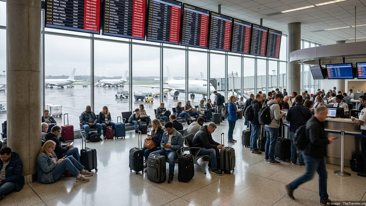
Airports serving the warning area, such as East Midlands, Leeds Bradford, Doncaster Sheffield’s wider catchment and smaller regional airfields, may need to adjust operations if visibility drops below operational thresholds. This can include increased spacing between aircraft, diversions or delays to early morning departures and arrivals. Travellers are being urged in public advice to check the latest status of flights and allow extra time for travel to and from airports in foggy conditions.
Across all modes of transport, guidance in line with Met Office warning information emphasises planning ahead, monitoring local forecasts and transport updates, and being prepared to change or delay journeys if conditions deteriorate.
Understanding Met Office yellow warnings and what they mean for travellers
The Met Office issues colour-coded weather warnings through the National Severe Weather Warning Service when conditions have the potential to cause disruption. Yellow warnings, such as the current five-hour fog alert, highlight a likelihood of low-level impacts for some people, including possible delays to road, rail, air and ferry travel.
Official guidance explains that each warning is based on both the likelihood of severe weather and the potential impact. For fog events, impacts often include slower traffic, increased collision risk where drivers fail to adjust their speed, and knock-on delays to public transport. Even where the overall impact is assessed as low, the effect on individual journeys can be significant, especially during peak travel periods.
Travel-focused summaries linked to these alerts commonly encourage drivers to use fog lights where appropriate, maintain greater distances from other vehicles and avoid sudden braking. Passengers are encouraged to verify live updates from train operators, bus companies and airports, since conditions and responses can differ even within the same warning area.
Met Office guidance also stresses that warnings are kept under review as conditions evolve. Areas can be added, removed or updated at relatively short notice, so travellers are encouraged to check the latest information on the morning of travel rather than relying solely on overnight forecasts.
Practical planning tips for journeys within the 36 affected areas
For road users in the 36 named locations, one of the most effective responses to the five-hour warning is to build in additional time. Publicly available travel advice suggests allowing a wider margin for school runs, commuting or airport transfers so that journeys can be driven at appropriately reduced speeds without creating additional pressure.
Where flexible, some travellers may choose to delay non-essential trips until after mid-morning, when forecasters expect fog to lift and visibility to improve for most of the warning area. Those who must travel early are encouraged by transport operators’ guidance to check route planners, live traffic maps and roadside variable message signs for any incidents or unexpected closures.
Rail passengers are advised, in line with operator guidance during similar fog events, to verify departure boards online or via apps before heading to the station and to be prepared for incremental delays rather than wholesale cancellations. For air travel, airlines often recommend confirming check-in and departure times on the morning of travel and arriving slightly earlier than usual in case security and boarding procedures are affected by schedule changes.
Across the warning period, publicly available information consistently points to one key theme: while the impacts of this yellow fog alert are expected to be limited and short-lived, some journeys in the 36 affected areas are likely to take longer than normal. Travellers who plan ahead, stay informed and adjust their expectations for the morning rush hour are better placed to reduce the risk of disruption.