


More news on this day
Wildfire smoke has prompted fresh travel warnings across Oregon in early September 2026, disrupting late-summer tourism as air quality swings from day to day and some regions face persistent haze that can quickly turn outdoor itineraries into indoor-only trips.
Get the latest news straight to your inbox!
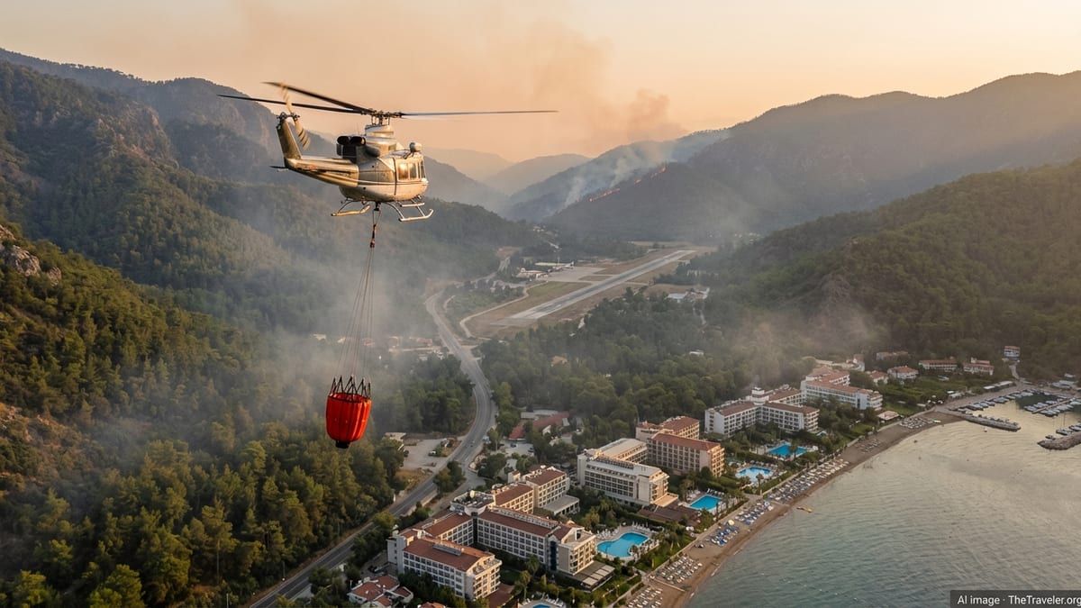
Smoke advisories add new risk to late-summer trips
Publicly available state guidance in mid-September has emphasized that wildfire impacts are often localized, but conditions can change quickly with wind shifts. Travel Oregon’s statewide travel alerts, updated September 15, 2026, list multiple large active fires that can influence air quality and access, particularly in Central and Eastern Oregon.
Air-quality messaging has also intensified as wildfire smoke becomes a recurring factor for travelers. Oregon’s Department of Environmental Quality maintains a central advisories page that directs residents and visitors to real-time air-quality information, the OregonAir mobile app, and the Oregon Smoke Blog for smoke forecasts and temporary monitor data. The agency’s health-oriented recommendations focus on reducing outdoor exposure, improving indoor air filtration, and limiting pollution-producing activities during smoke episodes.
National Weather Service air-quality alert products relayed from DEQ have also been issued during the season when smoke conditions are expected to reach unhealthy levels at times. While the exact counties and timing vary by episode, the overall pattern has been clear: smoke conditions may escalate quickly, affecting everything from hiking visibility to respiratory comfort.
Where the travel impacts are concentrated in September 2026
Central and Eastern Oregon have been highlighted repeatedly in travel and air-quality resources this season, as smoke tends to pool east of the Cascades and in inland valleys during certain weather setups. Travel Oregon’s current list of remaining large, active fires includes incidents in Central Oregon near Warm Springs as well as several in Eastern Oregon, alongside a fire in the Mt. Hood and Gorge region southeast of Estacada.
Destination-level guidance has begun reflecting the operational reality of planning around smoke. Visit Bend’s wildfire resources page, for example, has advised travelers that air quality can vary throughout the day and points visitors to AQI maps and smoke forecasts, while also noting that fire restrictions on Central Oregon public lands were lowered to Stage 1 as of September 5, 2026.
For travelers, the practical consequence is a new kind of itinerary flexibility. Trips centered on high-exertion outdoor activities such as trail running, biking, lake days, or backpacking may still be possible in parts of Oregon, but the most successful plans increasingly include backup options, such as museums, food and beverage stops, wellness activities, and short drives timed around cleaner-air windows shown on real-time AQI maps.
Tourism businesses face cancellations, rescheduling, and shifting demand
Published coverage in Oregon has shown how smoke affects more than scenic views. Oregon Public Broadcasting reported in August 2026 that outdoor summer camps across the state have been forced to move indoors, reschedule, or cancel during poor-air episodes, with financial strain tied to rapid operational decisions and lost program days. While camps are not the same as hotels or tour operators, they are part of the broader visitor economy that depends on reliable outdoor conditions.
Separate reporting has also pointed to measurable tourism impacts when smoke lingers. Axios Portland highlighted an Oregon State University analysis that compared Air Quality Index readings with lodging data from the Bend Visitors Bureau over multiple years, finding that short smoke events had limited effects but longer stretches of poor air quality corresponded with sizable lodging-sector losses.
The disruption is not always a simple drop in travel. Smoke can redirect demand, pushing travelers toward areas perceived as clearer, especially the coast and portions of the Willamette Valley. That shift can soften losses in some regions while concentrating crowds and pricing pressure elsewhere, particularly on weekends when travelers make last-minute decisions based on AQI readings.
Transportation disruptions compound trip planning, especially through Portland
In addition to smoke, a major highway disruption has been in effect in Portland during the same period many travelers pass through the state’s largest city. TripCheck, Oregon’s official traveler information platform, has listed an around-the-clock closure of I-5 southbound in the Rose Quarter area, with detours and ramp closures affecting access to downtown connections and I-84 movements.
ODOT’s published construction bulletin described the closure as beginning September 11, 2026, and lasting up to five weeks, with expected travel times near the project area potentially running two to three times longer if drivers maintain normal travel patterns. A Portland city transportation post has similarly outlined the all-hours, all-days closure for structural repairs near the Moda Center area, reinforcing the need to plan alternate routes.
For visitors, the combined effect is that even a “clear air” Oregon itinerary can be complicated by reroutes and longer drive times, particularly for those heading south through Portland to reach wine country, the coast range, or destinations deeper in the state. Travel planners have increasingly recommended checking TripCheck close to departure time, then re-checking on travel day for closures, detours, and incident-related slowdowns.
What travelers can do now: monitor, pivot, and protect health
Oregon’s current travel guidance has increasingly converged on a few core tools that visitors can use to make real-time decisions. Travel Oregon’s alerts point travelers to TripCheck for road conditions and encourage monitoring smoke via widely used mapping tools. The U.S. EPA’s AirNow Fire and Smoke Map provides near-real-time PM2.5-focused AQI information, fire locations, and smoke plumes, with accompanying user guidance on how to interpret readings and recommended actions.
At the state level, DEQ’s advisories framework directs the public to Oregon’s AQI displays and the OregonAir app for current conditions, and outlines practical steps during smoke advisories, including minimizing outdoor time when smoke is present, using high-efficiency filtration indoors, and setting vehicle and home systems to recirculate air.
For travelers, the most realistic strategy is not guessing weeks ahead, but building a plan that can flex 24 to 48 hours before arrival. That means choosing refundable lodging where possible, scheduling high-priority outdoor activities early in the day when conditions allow, and keeping a “cleaner-air pivot” in mind, such as shifting west toward the coast or focusing on urban and indoor activities when AQI readings deteriorate.