


More news on this day
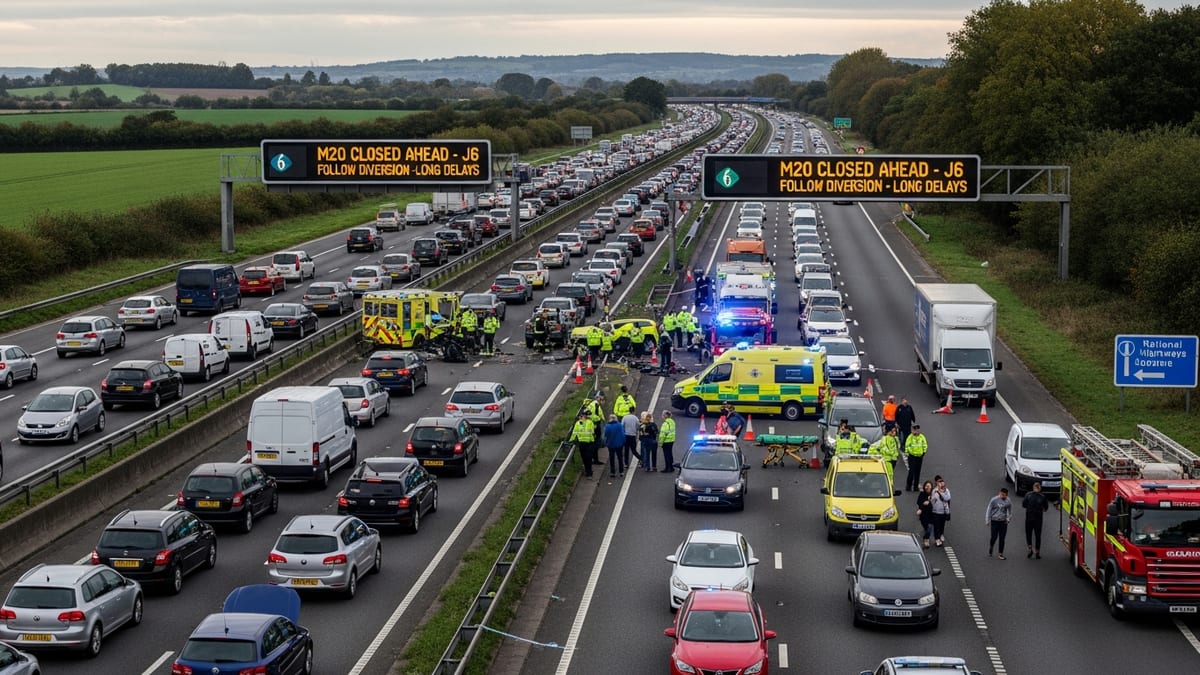
Northbound Interstate 77 beyond Akron-Canton Regional Airport was shut down Wednesday afternoon in Summit County after a crash, creating lengthy backups on a key corridor used by travelers heading toward Akron and Cleveland.
Get the latest news straight to your inbox!
Where the closure happened and what drivers encountered
Published coverage indicates the closure affected I-77 northbound at the Graybill Road area in Summit County, just north of the Akron-Canton Airport vicinity. The disruption was reported as a full northbound stoppage, a scenario that can quickly cascade into significant delays because there are limited parallel routes that closely mirror I-77 through this stretch of Northeast Ohio.
Traffic reporting tied to Ohio’s statewide highway information system showed that all northbound lanes were closed as of 1:32 p.m. Wednesday. In addition to the northbound shutdown, published coverage also described an impact on the opposite direction, with the left shoulder on I-77 southbound blocked from State Route 241 to State Route 619, adding to congestion and narrowing maneuvering room for drivers passing the scene.
By mid-afternoon, travel-time estimates circulating in published coverage pointed to a severe slowdown through the immediate area. A reported 57-minute delay between mile markers 116 and 117 translated into nearly an hour to cover what is typically a short segment of highway, with total travel time in the affected area listed at 59 minutes.
Why this stretch matters for airport and regional travel
The closure took place near one of the primary highway approaches used by passengers, airport employees, and ride services accessing Akron-Canton Regional Airport (CAK). CAK sits between Akron and Canton and serves a mix of commercial, cargo, military, and general aviation operations, making reliable road access important not only for passenger drop-offs and pick-ups but also for time-sensitive airport support activity.
For travelers approaching from Canton, North Canton, and surrounding Stark County communities, I-77 is a direct north-south spine. A northbound shutdown north of the airport can trap vehicles before key decision points, making it harder for drivers to reroute without adding substantial extra time. For those headed to the terminal, delays can compress check-in, bag drop, and security timelines, especially during afternoon banked departures or arrivals.
Even for travelers not bound for the airport, this segment of I-77 is a common connector for trips toward Akron neighborhoods and onward connections to Cleveland-area roads. When all lanes are closed, congestion typically spills onto entrance ramps and nearby surface streets as drivers seek any available detour, which can create secondary slowdowns that persist even after lanes reopen.
How to check real-time conditions and plan around closures
Drivers looking for the most current traffic picture in Ohio can use the Ohio Department of Transportation’s OHGO platform, which publishes statewide incident and travel-delay information. Publicly available information about OHGO indicates it is designed to show real-time traffic speeds, closures, and incident details on ODOT-managed routes, with traffic speed data updated frequently from roadway sensors.
For travelers trying to decide whether to wait, reroute, or adjust an airport pickup time, using live traffic tools can help identify whether backups are still building or beginning to clear. OHGO also provides access to traffic cameras in many locations, which can offer additional context about lane blockages and whether traffic is moving.
Because this incident involved a full northbound closure, drivers typically benefit from making route choices earlier rather than attempting last-second exits after reaching the back of a stopped queue. Public guidance on Ohio’s traveler-information resources emphasizes using real-time maps and alerts to avoid areas with major disruptions and to monitor changing travel times.
What’s known so far about the crash and ongoing impacts
Reports indicate the crash was under investigation and that the closure was implemented to allow emergency response and scene management. In published coverage, the incident was linked to a response footprint that affected both directions of I-77, with a northbound full closure and a southbound shoulder restriction through part of the corridor.
For motorists, the immediate practical impact was a substantial delay window through the mile-marker 116 to 117 area, with traffic-time estimates approaching an hour in the worst-affected segment. Even after lanes reopen, drivers should expect residual stop-and-go traffic as vehicles accelerate away from the closure point and as congestion dissipates along ramps and feeder roads.
Travelers with time-sensitive plans such as scheduled flights, rental-car returns, or pre-booked activities in Akron or Cleveland should consider padding their schedules and continuing to monitor live maps, because reopening times can shift depending on towing, roadway cleanup, and the time required to restore normal traffic flow.