


More news on this day
Rail passengers across parts of the United Kingdom are being warned to expect major disruption as Storm Austen, the first named storm of the 2026/27 season, brings forecast gusts of up to 80mph, heavy rain and a high risk of delays and cancellations on key routes from Thursday night into Friday.
Get the latest news straight to your inbox!
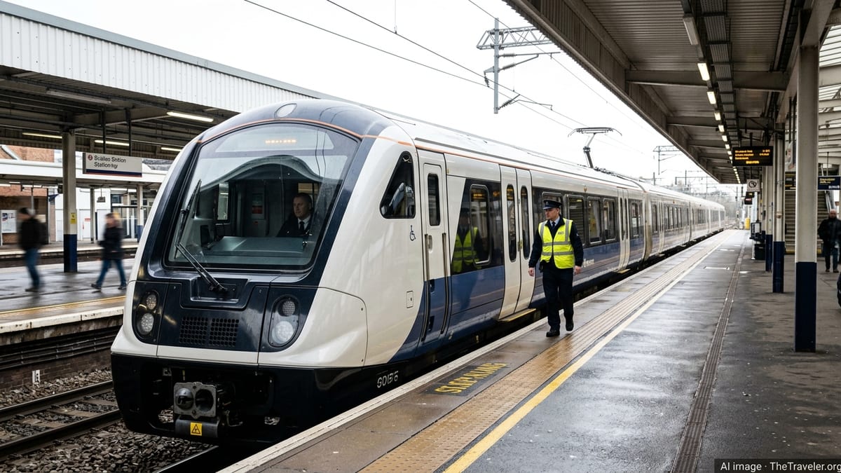
Amber wind warnings as first named storm targets key rail corridors
Publicly available forecasts from the Met Office indicate that Storm Austen will move in from the Atlantic late on Thursday, 22 October, before tracking east across southern Britain during the early hours of Friday, 23 October. The storm is expected to deepen to around 970 to 980 hPa as it crosses the country, a pressure pattern associated with widespread gales and localised severe gusts.
An amber wind warning has been issued for Cornwall, the Isles of Scilly and parts of west Devon, with yellow warnings extending across wider areas of southern England and south Wales. Within the amber zone, forecasters expect inland gusts of 60 to 70mph, with exposed coasts and headlands facing peak gusts close to 80mph. Further north, strong winds and heavy rain are still likely, although the greatest rail disruption risk is currently focused on western and southern main lines.
According to Met Office guidance on its warning pages, the combination of very strong winds and saturated ground increases the likelihood of fallen trees, flying debris and damage to overhead power equipment. The same guidance notes an increased chance of longer journey times and cancellations across road, rail, air and ferry services as the storm crosses the UK.
Rail industry planners are using updated forecast tracks to map the timing of the strongest gusts against the busiest parts of the timetable. The most challenging period for operations on many western routes is expected to fall between midnight and late Friday morning, when winds are forecast to be strongest and visibility could be reduced by intense bursts of rain.
How Storm Austen threatens the rail network
Experience from previous UK storms shows that high winds can disrupt rail services in several ways, from direct damage to infrastructure to safety-related speed limits. When gusts approach 70 to 80mph, overhead line equipment on electrified routes becomes more vulnerable to damage from tree branches and wind-blown debris, while trackside fencing and lineside equipment can also be affected.
Network-wide guidance published after earlier major storms explains that one of the biggest risks comes from trees and large branches falling onto the track or bringing down power and signalling cables. Even when tracks remain clear, signallers may impose precautionary speed restrictions to reduce the risk to trains from unexpected obstructions ahead, adding delays that can quickly spread across a busy timetable.
Open sections along coasts and estuaries are particularly exposed. Forecast data for Storm Austen highlight the south-west peninsula, the English Channel coast and parts of south Wales as areas where the risk of crosswinds and large waves is elevated. On some sea walls and low-lying coastal alignments, planners may opt to suspend services for a period if wind, spray and tide conditions combine to exceed agreed safety thresholds.
Heavy rain accompanying Storm Austen presents a further challenge. Recent outlooks suggest 20 to 30mm of rain for many areas, with higher totals possible in parts of western and upland regions. On routes with known drainage constraints or where rivers respond quickly to intense rainfall, localised flooding can force line closures, even where winds are less severe.
Regions and routes most at risk of disruption
Forecast maps for Thursday night and Friday show southern and south-western England, south Wales and parts of the Midlands most exposed to the strongest winds, although the exact track of Storm Austen remains subject to minor adjustments. Key intercity and commuter corridors in these areas are preparing for possible restrictions and last-minute changes to services.
Main lines linking London with the south-west, including routes toward Exeter, Plymouth, Penzance and the cross-country connections through Bristol and South Wales, lie directly beneath the amber warning area for at least part of Friday morning. In recent amber wind events affecting similar regions, operators have reduced timetables in advance and advised passengers to travel only if necessary during the worst conditions.
Further east, services along the south coast between Southampton, Brighton and Kent could also see disruption if current wind projections for the English Channel coast are realised. Forecast gusts here are generally lower than in Cornwall and the far south-west but could still exceed 60 to 70mph alongside heavy rain at times, conditions that have previously led to speed limits and temporary route suspensions.
Inland routes across central southern England and the southern Midlands, including some commuter corridors into London, may face more modest gusts but remain exposed to tree damage and surface water flooding. Network Rail resilience documents highlight that even yellow warning criteria for wind can be enough to cause line blockages where vegetation is close to the track or where embankments have been softened by prolonged rainfall.
Advice for passengers planning to travel
Train operators are urging customers to check journey planners and service updates on the morning of travel as timetables for Friday are adjusted to reflect the latest forecasts and any emerging disruption. Digital journey planners and operator websites are typically updated the evening before, but the picture can change quickly as Storm Austen moves across the country.
Where advance tickets are already booked for affected dates and routes, operators commonly allow travel at alternative times or on different services, subject to capacity, when severe weather disrupts the original journey. Some companies also activate temporary ticket acceptance on other rail routes or local bus and tram networks when key lines are blocked. Any such arrangements for Storm Austen will be published through operator channels and National Rail’s information platforms.
Rail safety guidance produced after previous major storms recommends that passengers allow extra time to reach stations, be prepared for crowded trains where reduced timetables are in place, and have contingency plans in case services are curtailed. Travellers with connecting flights or long-distance onward journeys are advised to build additional margins into their plans or consider rebooking where flexibility is available.
For those who must travel during the peak of the storm, carrying essentials such as water, snacks, phone chargers and any required medication is recommended, particularly on longer intercity journeys where the risk of extended delays is higher. Passengers with reduced mobility are encouraged to check in advance that assistance services remain available in periods of severe weather.
Outlook after the storm and what could change
Current forecasts suggest that the strongest winds associated with Storm Austen will ease from west to east through Friday afternoon, allowing rail operators to begin inspections, remove debris and restore normal line speeds where possible. However, residual delays are likely to continue into the evening peak if extensive checks or repair work are required on key sections of track or overhead line.
Meteorologists note that Storm Austen is part of a broader shift to more unsettled Atlantic-driven weather across north-western Europe. Some forecast models indicate the potential for another deep low-pressure system to follow later in the weekend, although details on its track, strength and naming status remain uncertain. Travellers planning rail journeys beyond Friday are therefore being encouraged to monitor updated outlooks as confidence in the pattern improves.
As with any developing storm system, there remains scope for changes in the precise path and intensity of Austen in the 24 to 36 hours before landfall. A small deviation in track could shift the core of strongest winds north or south of current projections, altering which rail corridors experience the most significant disruption. The Met Office has signalled that its weather warnings are under constant review and may be updated as new data become available.
For now, the strongest and most consistent signal is for a period of dangerous winds and driving rain across southern and western parts of the UK late on Thursday and through much of Friday, with rail passengers on exposed coastal and intercity routes likely to face some of the most challenging travel conditions of the autumn so far.