


More news on this day
Storm Boelo is set to become the second powerful system in as many days to hit the United Kingdom, with an amber warning for strong winds issued across much of Scotland and parts of Northern Ireland and northern England, raising concerns over transport disruption and hazardous travel conditions for the weekend.
Get the latest news straight to your inbox!
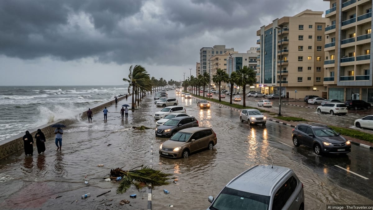
Amber wind warning as Boelo follows in wake of Storm Austen
Publicly available information from the Met Office shows that Storm Boelo will move in from the northwest on Saturday 24 October, only a day after Storm Austen swept across south west England with gusts close to 80 mph and widespread power cuts. The new system is forecast to track across northern parts of the UK through Saturday night into Sunday, bringing another period of severe winds and heavy rain to areas already saturated.
An amber warning for wind, the second highest alert level, has been issued for all of mainland Scotland, parts of Northern Ireland and the far north of England from Saturday evening into Sunday morning. Forecast guidance indicates gusts could reach 70 to 80 mph in the most exposed coastal and upland locations, with 50 to 65 mph more widely across the warning area.
Yellow warnings for wind and rain also cover a broader swathe of the UK, indicating a risk of difficult driving conditions, localised flooding and disruption to outdoor events even outside the amber zone. Meteorologists note that the back to back arrival of Austen and Boelo increases the likelihood of impacts, as saturated ground and already weakened trees are more vulnerable to further strong gusts.
Transport networks prepare for high winds and heavy rain
Travel operators across the affected regions are adjusting timetables and activating contingency plans as Storm Boelo approaches. ScotRail has announced that a number of services will be suspended after 21:00 on Saturday on key routes passing through the amber warning area, with the aim of reducing the risk from fallen trees and debris on exposed lines. Passengers are being urged via public statements to check for last minute cancellations before setting out.
Road networks in Scotland and Northern Ireland are also expected to come under pressure. Traffic Scotland has issued advance travel advice highlighting a high risk of disruption on bridges and elevated routes during the peak of the storm, with the potential for speed restrictions or temporary closures if crosswinds become too severe. Motorists are being encouraged by public guidance to avoid non essential journeys in the worst affected areas and to allow extra time if travel is unavoidable.
Ferry services to islands and across major sea crossings in the north and west of the UK are likely to face delays and short notice cancellations as large waves develop in the North Atlantic and North Sea. Airlines have already experienced disruption from Storm Austen, and aviation industry updates suggest that further delays, diversions and potential cancellations are possible at airports in Scotland and northern England as Boelo’s strongest winds move through.
Risk to coastal areas, power supplies and rural routes
Coastal communities along the western and northern fringes of Scotland and Northern Ireland are bracing for very rough seas as Boelo drives powerful winds onshore. Met Office briefings describe the potential for large waves and overtopping along exposed shorelines, raising concerns for harbour operations, coastal roads and low lying seafronts popular with visitors.
Energy network operators have been carrying out storm preparations in light of the disruption already caused by Austen, when tens of thousands of properties across south west England temporarily lost power after trees and branches brought down lines. With Boelo now focused further north, attention has shifted to rural parts of Scotland and Northern Ireland where long overhead lines and wooded corridors increase the risk of further outages.
For travellers planning drives through scenic but remote areas, such as the Highlands or routes towards island ferry terminals, the combination of fallen trees, surface water and possible power cuts means services at fuel stations, cafes and accommodation could be limited during the height of the storm. Public travel advice ahead of Boelo encourages visitors to keep vehicle fuel tanks topped up, carry basic supplies and check that booked accommodation will remain open if local infrastructure is disrupted.
What visitors to the UK need to know this weekend
The timing of Storm Boelo over a weekend is of particular concern for visitors who may be moving between cities or heading to rural destinations for short breaks. Forecasts indicate that the strongest winds in the amber warning area are expected from late Saturday evening through Sunday morning, with conditions slowly easing from the west during Sunday.
For those with rail reservations on Saturday night or early Sunday, operators are advising through public updates to check departure times on the day of travel and to be prepared for replacement buses or extended journey times. In some locations, services are being proactively withdrawn during the period of highest risk so that safety checks can be carried out at first light on Sunday before trains resume.
Travellers using hire cars or driving unfamiliar routes are being urged in public information campaigns to pay close attention to changing conditions. Strong crosswinds can be particularly hazardous for high sided vehicles on bridges and open stretches of motorway, while heavy rain may quickly lead to standing water on smaller rural roads. Visitor guidance recommends avoiding walking close to cliff edges, harbour walls or exposed piers during the storm, even when conditions may appear manageable from a distance.
Looking ahead: unsettled pattern continues for northern Europe
Storm Boelo is the second named system of the current windstorm season, following Austen, and arrives in the context of a broader spell of unsettled Atlantic weather affecting much of northern Europe. Recent seasons have seen a series of impactful storms tracked and named by meteorological services in the UK, Ireland and the Netherlands as part of efforts to improve public awareness and preparedness.
Early outlooks suggest that while Boelo’s most severe conditions will ease during Sunday, low pressure is likely to remain in charge of the UK’s weather into next week, bringing further bands of rain and blustery showers, particularly across the north and west. Although no further named storms have been confirmed at this stage, forecasters indicate that the atmospheric pattern remains favourable for additional deep Atlantic systems to develop.
For travellers planning trips to the UK over the coming days, the key message from publicly available guidance is to remain flexible, monitor local forecasts closely and build extra time into itineraries, especially where journeys depend on rail, ferry or internal flights. As Storm Boelo moves through, the focus will be on how quickly transport networks can restore normal services and on assessing any lasting damage across some of the country’s most visited landscapes.