


More news on this day
Thunderstorms sweeping across the Northeast and Mid-Atlantic on August 27 and 28 have triggered extensive flight delays and cancellations at key U.S. hubs, particularly in the New York City area, as airlines work to reset schedules ahead of the weekend travel rush.
Get the latest news straight to your inbox!
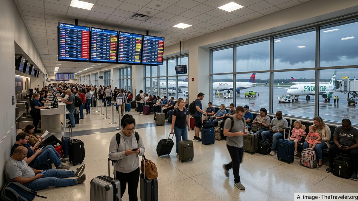
New York City Airports Bear the Brunt
Published coverage and air traffic data indicate that New York area airports are experiencing some of the heaviest disruptions. John F. Kennedy International Airport is operating under a weather-related traffic management program, with Federal Aviation Administration (FAA) status information showing average departure delays of more than three hours for flights headed to JFK as of early August 28. Gate holds and taxi delays are also reported to be approaching two hours for some departures.
Nearby Newark Liberty International Airport has also been under a weather-related traffic management program. FAA updates from August 27 show arriving and departing flights facing average delays of about two and a half hours due to thunderstorms, along with extended gate and taxi times as traffic is metered into the already congested airspace over northern New Jersey and New York Harbor.
LaGuardia Airport, which has less runway capacity and is often among the first to feel the impact of summer storms, has recorded significant knock-on effects. Reporting based on FlightAware data indicates that on Thursday, August 27, LaGuardia logged more delays and cancellations than any other U.S. airport, with well over 200 delays and dozens of cancellations in a single day. Local coverage on August 28 continues to flag LaGuardia as a hotspot for weather-related disruptions as storms linger over the region.
Regional business and general aviation have not been spared. Teterboro Airport in New Jersey, a key hub for private and corporate flights, has appeared alongside the three major New York airports in FAA advisories, reflecting broader congestion in the low-altitude corridors used by smaller aircraft around the metro area.
Thunderstorms Disrupt Routes Far Beyond the Northeast
The immediate weather trigger for the latest wave of delays is a band of strong thunderstorms and heavy rain moving through the Mid-Atlantic and Northeast, but the consequences extend across the country. FAA planning tools and national delay maps show multiple ground delay programs and intermittent ground stops as controllers slow the rate of arrivals into storm-affected hubs.
National travel coverage notes that by Thursday afternoon, August 27, more than 1,300 flights within, into, or out of the United States had been delayed and over 150 canceled, with a disproportionate share tied to New York City airports. Thunderstorms along key East Coast and mid-continent corridors are also affecting departures from major hubs such as Atlanta, Charlotte, Denver, and airports in Florida and Texas, as traffic bound for the New York region is held on the ground or rerouted.
The cascading effect of these slowdowns means disruption is not limited to cities directly under the storms. Flights departing clear-weather airports can still face long waits if their destination is operating under a traffic management program. In some cases, aircraft and crews scheduled to operate later flights are arriving late themselves, creating secondary delays hours after the worst of the weather has passed.
Travel alerts compiled by independent monitoring services show a cluster of weather-related airport delay advisories across several states, reflecting both severe storms and localized hazards. These alerts underscore how vulnerable tightly scheduled summer operations can be when storms track along heavily used flight paths.
Airlines Trigger Waivers as Travelers Seek Options
As the storms intensified, several major carriers introduced or extended flexible travel policies for passengers booked to and from the affected region. Publicly posted travel waivers for New York–area thunderstorms on August 27 and surrounding dates allow eligible travelers to change to alternate flights without change fees, provided they keep the same origin and destination and rebook within a specified window.
Similar waivers have appeared repeatedly through the summer in response to storm systems over the East Coast and Midwest, including advisories tied to thunderstorms around Chicago and broader East Coast weather events earlier in August and July. The pattern highlights how airlines are using preemptive flexibility to reduce strain at airports when forecasters flag a high likelihood of convective storms during peak afternoon and evening periods.
For passengers at the airport, however, options can still be limited once storms are underway. When traffic management programs are active and flights face multi-hour holds, same-day alternatives may already be full. Social media and online forums show travelers reporting long rebooking queues, as well as instances where the next available seat is not until the following day or later, particularly on popular business routes.
Consumer guidance from airports and travel sites stresses the importance of checking flight status frequently, using airline apps to join standby lists when available, and being prepared for extended waits if rebooking is necessary. Some advisories also encourage travelers to familiarize themselves with passenger rights and compensation rules, which vary by airline and by whether a delay is classified as weather-related or due to other causes.
Operational Strain Highlights System Vulnerabilities
The latest disruptions are unfolding at a time when U.S. airlines and airports are already operating close to capacity during the late-summer peak. Industry analysts point out that when storms force traffic management initiatives at one or two major hubs, the ripple effects can quickly expose underlying vulnerabilities, including tight crew scheduling, limited spare aircraft, and saturated runway and airspace infrastructure.
Recent public discussions around major East Coast airports, including the Washington, D.C., area, have described a pattern of frequent afternoon and evening delays during the summer months, often attributed to a combination of pop-up thunderstorms and air traffic control constraints. Travelers and local commentators have increasingly come to expect that mid- to late-day departures in July and August may face significant schedule uncertainty.
FAA data tools emphasize that the status information posted for airports reflects general conditions rather than flight-specific details, and they consistently advise travelers to consult airlines directly for the most current information about individual flights. Airports themselves, such as Phoenix Sky Harbor, echo this guidance in their own materials, noting that disruptions elsewhere in the country can quickly ripple into regions experiencing clear skies.
While airlines and regulators continue to invest in technology to improve forecasting, routing, and real-time traffic management, the current wave of delays illustrates how even incremental storms can lead to hundreds of disrupted flights when they intersect with the nation’s busiest air corridors. With more unsettled weather in the forecast for parts of the East Coast and interior West, travelers heading into the final weekends of summer are being urged by public advisories and travel services to build extra time into itineraries and remain flexible about departure times and routings.
FAA airport status information
National delay and cancellation overview