


More news on this day
Thailand’s Meteorological Department has issued a series of mid-November advisories warning of heavy to very heavy rain across southern provinces and rough seas in the Gulf of Thailand and Andaman Sea between 18 and 22 November 2026, prompting marine warnings that are already affecting island and coastal travel plans.
Get the latest news straight to your inbox!
Official warnings focus on lower Gulf and southern provinces
Weather advisories issued by the Thai Meteorological Department (TMD) from 17 November onward forecast continuous rain with scattered heavy to isolated very heavy downpours across southern Thailand between 18 and 22 November 2026. The warnings highlight an elevated risk of flash floods, overflowing waterways and landslides, particularly in low-lying areas and along foothills in the South.
TMD’s written advisories and 7-day outlooks explain that the conditions are being driven by a moderate to rather strong high-pressure system extending from China over upper Thailand and the South China Sea, reinforcing the northeast monsoon over the Gulf of Thailand, southern provinces and the Andaman Sea. As this stronger northeast monsoon interacts with moist air over the region, it is expected to sustain several days of unsettled weather rather than a brief storm passage.
More recent outlooks, updated on 19 and 20 November, continue to emphasize heavy to very heavy rainfall in lower southern provinces through at least 22 November, rather than signaling an early end to the unsettled conditions. Travelers heading to southern Thailand during this window should therefore treat the warnings as current and active, not as a routine seasonal reminder.
Rough seas and small-boat shutdowns in the lower Gulf
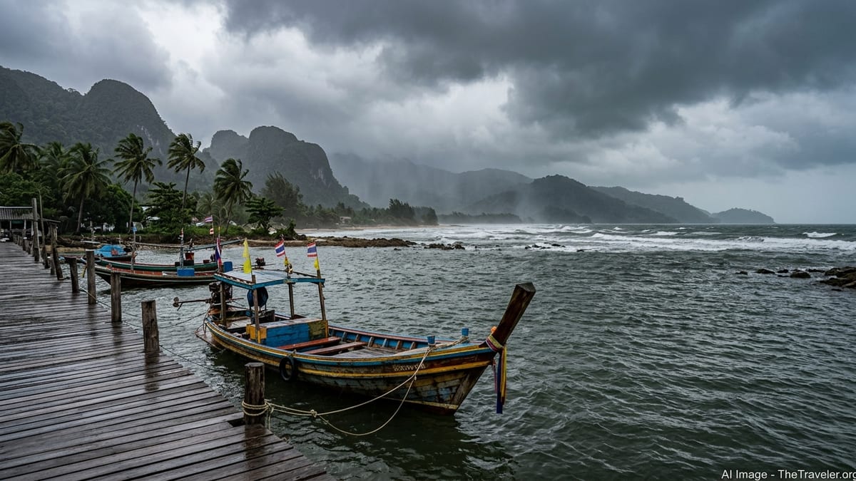
For marine travelers, the most consequential element of the TMD advisories is the sea state forecast in the lower Gulf of Thailand. The department expects waves of 2 to 3 meters in the lower Gulf, with heights exceeding 3 meters in areas affected by thunderstorms, and around 1 to 2 meters elsewhere in the Gulf and Andaman Sea during the same period.
On the basis of these forecasts, TMD explicitly advises that small boats in the lower Gulf should remain ashore from roughly 18 to 22 November, with updated guidance on 19 and 20 November reiterating that this instruction remains in force at least through 22 November. Larger vessels are told to navigate with caution and avoid thunderstorm zones, reflecting the likelihood of steep, short-period waves that can make crossings uncomfortable even for more robust ferries.
In practical terms, this warning applies particularly to waters off provinces such as Nakhon Si Thammarat southward, where many local transport and excursion services use smaller craft. While no comprehensive, nationwide list of route cancellations has been published, ferry and tour operators in the affected area are working day by day against a backdrop of official advice that keeps the smallest boats tied up for the duration of the event.
Islands and resorts facing choppy crossings and local flooding
The current risk is concentrated in southern coasts, but popular island destinations in the Gulf are already feeling the impact of unsettled weather. In Surat Thani province, which includes Koh Samui, Koh Phangan and Koh Tao, heavy rain on 12 November caused localized flooding on Koh Samui. Local police asked residents and tourists to postpone non-essential trips that morning while drainage systems coped with surface water on key roads, illustrating how quickly conditions can disrupt movement around the island’s ports and airport.
As the reinforced northeast monsoon settles in, forecasts indicate heavy rain in several southern east-coast provinces, including Surat Thani, Nakhon Si Thammarat, Phatthalung and Songkhla, at various points between 18 and 22 November. Travelers headed to or from Koh Samui, Koh Phangan and Koh Tao during this period should be prepared for choppy or uncomfortable ferry crossings even when services are operating, and for short-notice timetable changes if operators judge conditions to be unsafe.
On the Andaman Sea side, the same monsoon pattern is forecast to bring scattered to fairly widespread thunderstorms with isolated heavy rain to resort areas along Thailand’s west coast. While waves off the Andaman coast are generally expected to be around 1 to 2 meters, reaching higher in storm cells, this can still affect snorkeling, diving and speedboat excursions, particularly those using smaller vessels or exposed open-water routes.
What travelers should check between 18 and 22 November
Because the official marine advice for small boats in the lower Gulf to stay ashore runs through 22 November, travelers using smaller ferries or longtail-style boats in affected southern provinces should confirm the status of specific routes directly with operators before setting out. Schedules for crossings serving islands such as Koh Samui, Koh Phangan and Koh Tao can change at short notice if seas deteriorate further than forecasts or if local authorities issue additional safety instructions.
Passengers connecting via coastal airports and road hubs in the lower Gulf should allow extra time for transfers, as heavy rain can slow road traffic or cause localized flooding around key junctions and port approaches. Where itineraries allow, maintaining flexibility to re-route between Gulf and Andaman coasts, or to shift sea travel by a day or two within the 18 to 22 November window, can provide more options if specific sailings are suspended.
Authorities in Thailand are continuing to update daily weather bulletins and medium-range forecasts as the high-pressure system from China and associated northeast monsoon evolve. Travelers headed to southern coastal areas in the coming days should monitor the latest TMD advisories and any instructions from provincial disaster-prevention agencies, particularly if planning boat trips, coastal excursions or self-drive journeys in areas already affected by heavy rain.