


More news on this day
Strong thunderstorms moving across north Houston on Tuesday morning led to significant departure delays at George Bush Intercontinental Airport, disrupting early travel plans and forcing airlines to adjust schedules as weather briefly reduced the airport’s capacity.
Get the latest news straight to your inbox!
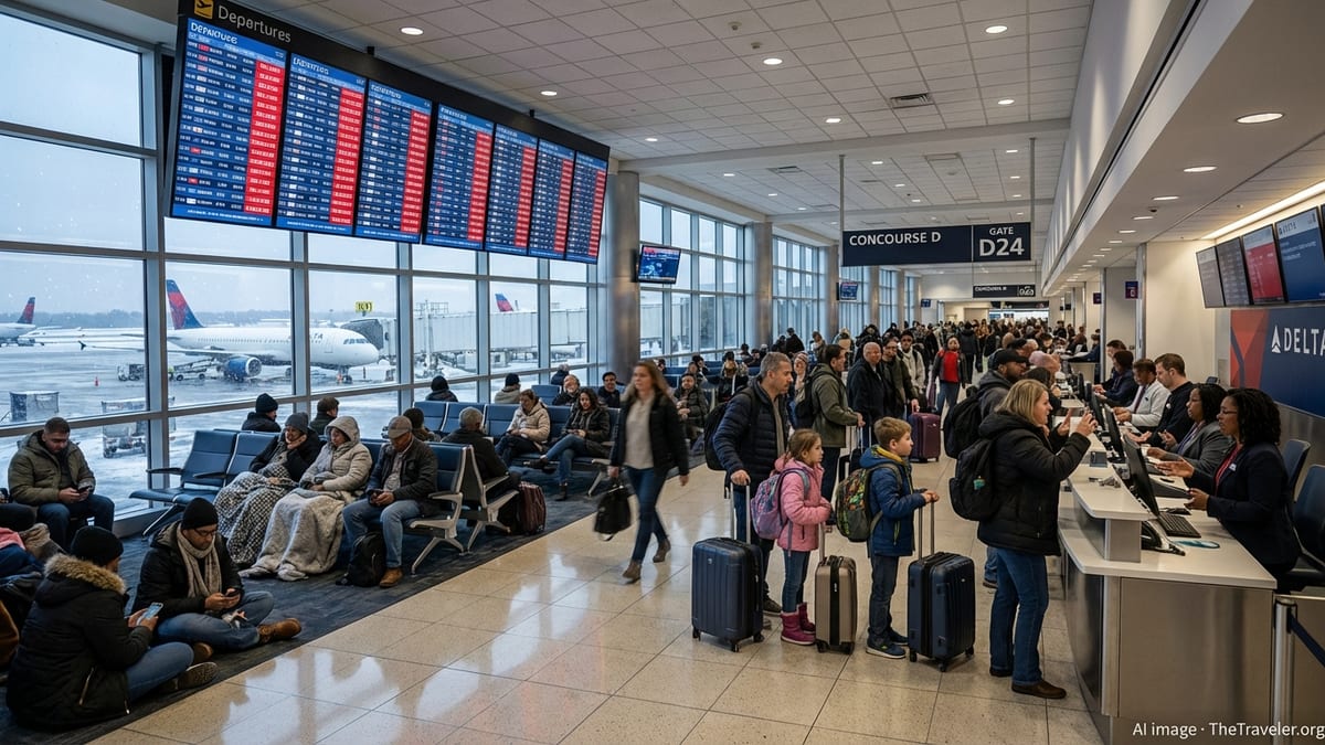
Ground stops and rolling delays at IAH
Published coverage from local media and federal aviation advisories indicates that departures from George Bush Intercontinental Airport were held early Tuesday after thunderstorms developed near the airfield and key arrival and departure corridors. A temporary ground stop limited the number of takeoffs while air traffic managers and airlines adjusted flight spacing in the storm cells’ vicinity.
Reports from recent Federal Aviation Administration planning advisories show that Houston had already been facing weather-related traffic management measures this week, with thunderstorms prompting flow programs and delay expectations for flights into and out of Bush Intercontinental. Those planning notices pointed to convective storms in Southeast Texas as a primary constraint on operations, particularly in the early morning and afternoon peaks.
Data from real-time flight status trackers on Tuesday showed a mix of on-time departures alongside delayed services, reflecting the uneven impact of fast-moving storm bands. Some departures pushed back close to schedule once lightning moved away from ramp areas, while others remained at gates awaiting updated release times as air traffic controllers balanced safety margins with growing queues of outbound aircraft.
The combination of a temporary ground stop, reduced departure rates and lingering route restrictions created a knock-on effect across parts of the domestic network. Flights scheduled to leave Houston for major hubs and regional destinations carried delay minutes forward, affecting subsequent rotations through the day.
Passengers face longer waits and missed connections
The immediate effect for travelers at Bush Intercontinental was felt in longer than expected waits at gates and on taxiways. Online posts from passengers and publicly available delay logs highlighted hold times that, in some cases, stretched close to or beyond an hour as aircraft waited for new departure slots or improved conditions along their flight paths.
For connecting travelers, even moderate delays at a hub like Houston can quickly complicate itineraries. Tight layovers became more uncertain as inbound flights arrived late and outbound departures slid backward on departure boards. In similar recent weather events at the airport, travelers have reported missed international connections and overnight stays, underlining how sensitive complex itineraries are to convective weather in a single hub.
Airlines operating through Bush Intercontinental had limited flexibility while thunderstorms were active nearby. Standard measures such as holding departures at gates, reassigning aircraft and adjusting crew schedules helped absorb some disruption, but available information suggests that rebooking options remained constrained during peak periods, particularly for popular routes that were already operating near capacity.
Publicly available guidance from major carriers shows that, when storm systems are forecast in advance, airlines sometimes issue travel waivers allowing passengers to move flights to different times or days without change fees. Similar waivers around Texas thunderstorms this week signaled an expectation of irregular operations and encouraged flexible travelers to avoid the busiest hours.
Weather pattern puts focus on Houston’s vulnerability
The latest round of delays fits a broader pattern of weather sensitivity at Bush Intercontinental, which sits north of downtown Houston in an area frequently affected by strong thunderstorms and heavy rainfall in warm months. Historical weather summaries for the airport highlight repeated episodes in which fast-developing storms over the region have produced lightning, low ceilings and reduced visibility, all of which can curtail runway capacity.
Recent outlooks from meteorologists in the Houston area pointed to an unsettled start to the week, with moisture-rich air and daytime heating supporting thunderstorm development on Monday and Tuesday. Those conditions aligned with reports of multiple ground stops and delay programs at both Bush Intercontinental and Hobby Airport, as aviation managers worked to sequence traffic around storm cells.
Safety protocols related to lightning play a significant role in these disruptions. When lightning is detected within a certain radius of the airfield, ramp activities such as baggage loading, catering and fueling are curtailed to protect ground crews. Even short-lived lightning events can quickly build a backlog of flights if they occur during busy departure banks, a pattern that has appeared repeatedly at Houston’s main hub in recent years.
While Tuesday’s storms were far less severe than past tropical systems that have shut down air travel across the region, they underscored how even routine convective weather can create cascading delays at a large hub. With Houston serving both heavy domestic traffic and long-haul international routes, brief interruptions can ripple through schedules for many hours.
Operational constraints at a busy international hub
George Bush Intercontinental is one of the nation’s busier international gateways, handling extensive domestic traffic alongside long-haul flights to Europe, Latin America and the Asia-Pacific region. Federal performance and construction reports describe an airfield and terminal complex that has been undergoing phased upgrades, including taxiway work and terminal expansion projects intended to increase capacity and improve passenger flow.
Those same reports note that construction and infrastructure changes can temporarily reduce operational flexibility, especially when traffic must be funneled through fewer taxiways or when certain stands and gates are taken out of service. In combination with adverse weather, such constraints can lengthen the time it takes to recover from a ground stop or a period of heavily restricted departures.
Research on airport on-time performance has consistently identified weather, congestion and airfield configuration as key factors in delay patterns. In a hub environment like Houston’s, periods of intense arrivals and departures are carefully choreographed; when thunderstorms disrupt that choreography, it can take several banks of flights before operations return to something approaching normal.
Publicly available schedule data for Tuesday indicated that while some midmorning and midday flights were back to near-scheduled times once storms moved away, residual delays remained on select routes for hours afterward. As airlines repositioned aircraft and crews and air traffic managers lifted restrictions, departure rates gradually increased, but some passengers still encountered later-than-planned arrivals at their final destinations.
What travelers can expect for the rest of the day
Forecasts for the Houston area suggest that the most intense storms associated with Tuesday morning’s delays will continue to move east, though additional scattered showers and isolated thunderstorms remain possible through the afternoon and evening. If additional cells form near approach and departure paths, further metered departures or brief holds cannot be ruled out.
Based on recent patterns at Bush Intercontinental, travelers scheduled to depart later in the day can expect airlines to continue working through backlogs created during the storm window. Flights in the late afternoon and evening may still be subject to schedule adjustments as carriers seek to realign aircraft and crew positions, particularly on routes that connect through multiple weather-affected regions.
Air travel experts often recommend that passengers monitor their flight status frequently on days with active thunderstorms, use airline apps to receive real-time notifications and consider traveling with carry-on luggage only when feasible, which can provide more options if same-day rebooking becomes necessary. Checking for any active flexible travel policies before heading to the airport can also help travelers decide whether to keep their current plans or move to a later date.
For Houston, the latest disruption serves as another reminder of how susceptible a major hub is to shifting summer weather patterns. While the storms affecting Bush Intercontinental on Tuesday were relatively localized, their impact on departure punctuality reached across a broad network of destinations, illustrating once again how a brief period of severe weather can reverberate far beyond the city’s airspace.