


More news on this day
Severe thunderstorms sweeping across the Mid-Atlantic on Tuesday prompted temporary ground stops at Baltimore/Washington International Thurgood Marshall, Ronald Reagan Washington National and Washington Dulles International, causing widespread disruptions for travelers in the Washington region.
Get the latest news straight to your inbox!
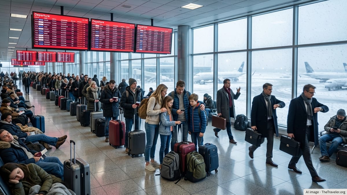
Storms Force Halt to Departures Across Washington-Area Airports
According to publicly available federal air traffic management data, a series of convective storms developing over the Washington metropolitan area led to ground stops at all three major regional airports on July 21. The measures paused most departures for a defined period while air traffic managers assessed storm intensity, lightning activity and rapidly changing wind patterns near the airports.
Ground stops are a routine tool used during severe weather to prevent new departures from taking off into hazardous conditions or overloading already constrained arrival corridors. On Tuesday, the combination of low cloud ceilings, heavy rain and embedded thunderstorms reduced visibility and narrowed the windows in which aircraft could land and depart safely.
Regional weather outlooks for the afternoon highlighted the likelihood of strong to locally severe storms, with forecasters warning of torrential downpours, gusty winds and frequent lightning. That configuration is particularly disruptive for airports such as BWI, DCA and IAD, where busy arrival and departure banks depend on stable conditions to keep high-frequency schedules on time.
Delays Ripple Through Afternoon and Evening Schedules
Operations data from the Federal Aviation Administration show that the weather-related traffic management programs translated into substantial departure delays at Washington Dulles, with gate holds and taxi queues stretching well beyond an hour in some cases. Although some arrivals continued with airborne holding, the ground stops limited new takeoffs bound for the region, especially during the most active thunderstorm cells.
Local news coverage indicated that the coordinated ground stops for BWI, Reagan National and Dulles were expected to last through at least the late afternoon, with the potential for extensions if storms redeveloped during the evening peak. Airlines adjusted schedules on the fly, holding aircraft at gates, reassigning crews and, in some instances, preemptively canceling flights where downstream connections were no longer viable.
The disruptions were not limited to the Washington area. Because BWI, DCA and IAD serve as key nodes in the national network, ground stops in the region often trigger delays at origin airports across the United States. Travelers departing from other major hubs toward the capital region reported rolling departure times as dispatchers waited for updated arrival rates and routing options around the worst of the storms.
Travelers Urged to Expect Residual Impacts After Ground Stops Lift
Even after formal ground stops are lifted, late-day thunderstorms can leave a trail of residual delays. Publicly available airport status boards on Tuesday afternoon showed a mix of late departures, diversions and scattered cancellations as carriers attempted to recover their schedules at the three airports once conditions allowed more consistent operations.
Industry guidance for days like this generally urges travelers to plan for extended travel times, keep a close eye on airline notifications and avoid heading to the airport until flights are confirmed for boarding. Same-day connections through BWI, DCA or IAD are particularly vulnerable when storms strike during afternoon bank periods, since there are fewer later departures available to re-accommodate disrupted passengers.
Airlines have also been using flexible travel waivers during recurring thunderstorm patterns along the East Coast this month, allowing some customers to shift to earlier or later flights or move their trips to different days without change fees. For travelers with essential trips through the Washington region, rebooking to early morning departures, when convection is typically less intense, can sometimes reduce exposure to storm-driven ground stops.
Why the Washington Region Is Prone to Weather Disruptions
The Washington-Baltimore airspace is among the most complex in the country, with three large commercial airports situated within a relatively small geographic area and sharing constrained approach and departure corridors. When thunderstorms build over the region, controllers have limited flexibility to route around cells without intruding into neighboring sectors or conflicting with flows into other East Coast hubs.
Summer weather patterns frequently funnel hot, humid air into the Mid-Atlantic, creating an unstable environment favorable for fast-developing storms during the late afternoon and evening. Short-lived but intense cells can form along frontal boundaries or sea-breeze interactions, forcing air traffic managers to react quickly with ground stops or ground delay programs to avoid putting additional flights into already saturated airspace.
Operational analyses of national delay patterns have consistently highlighted weather as a primary driver of significant disruptions, particularly at high-traffic airports clustered along the Northeast and Mid-Atlantic corridors. For the Washington region, recurring bouts of thunderstorms each summer translate into periodic days of concentrated delays at BWI, DCA and IAD, even when skies may appear relatively calm just before storms erupt.
What Passengers Can Do on High-Risk Thunderstorm Days
While travelers cannot control the weather or the decision to impose a ground stop, understanding how the system responds to severe storms can help reduce the impact on individual trips. Booking nonstop flights where possible, opting for the earliest departure of the day and allowing generous connection times can provide more options if thunderstorms disrupt the afternoon schedule.
Experts in consumer travel also recommend monitoring both airline apps and broader airport status tools on days when storms are in the forecast. A region-wide ground stop affecting BWI, DCA and IAD typically signals that delays will cascade for hours, making same-day schedule changes or airport switches more challenging the longer passengers wait to act.
For those already at the airport when a ground stop is issued, staying near the gate and watching for rolling updates can be critical, since departure holds may lift with relatively little notice once a break in the storms opens a safe operating window. Even then, passengers should be prepared for crowded boarding areas, limited available seats on later flights and the possibility that crews or aircraft will still be out of position as the system gradually resets.