
More news on this day
A rapidly developing line of severe storms linked to a tornado watch from upstate New York into New England on Thursday is causing mounting flight delays at major airports serving the Northeast, straining midweek travel plans at the outset of the busy summer season.
Get the latest news straight to your inbox!
Severe Storm System Targets the Northeast Corridor
Publicly available outlooks from the Storm Prediction Center on June 18 describe scattered severe thunderstorms sweeping from upstate New York into New England, with damaging wind gusts and a defined, though limited, tornado risk. The storms are embedded in a fast-moving cold front pushing east across the Great Lakes and into the Northeast, drawing on warm, humid air that has built up over the region.
Weather briefings indicate that the main hazards include strong straight-line winds capable of downing tree limbs and producing localized power outages, along with brief, rotating storms that could prompt short-fuse tornado warnings in parts of New York, Vermont, New Hampshire and western Massachusetts. The potential for rapidly changing conditions has led to a broad tornado watch area overlapping key population centers and air corridors.
Regional coverage from outlets in central and upstate New York notes that forecasters are tracking bands of storms capable of producing gusts over 50 to 60 miles per hour, heavy downpours, and isolated hail. In neighboring Vermont and northern New England, television meteorologists have been highlighting an hour-by-hour timeline that places the most intense storms squarely over major travel windows through Thursday afternoon and evening.
Delays Ripple Through New York and New England Airports
The volatile weather is already affecting air traffic at major New York-area airports, including John F. Kennedy International, LaGuardia and Newark Liberty, where low cloud ceilings, wind shear and thunderstorms in the vicinity typically trigger ground delay programs and arrival metering. Early tracking data and airline customer advisories on Thursday show growing numbers of departure and arrival delays, with some flights held at gates or slowed en route as air traffic managers space aircraft out for safety.
Farther north, airports in Albany, Syracuse, Buffalo and Rochester are also experiencing interruptions as storms cross upstate New York along key jet routes into New England and eastern Canada. In several communities across central New York, local media report tornado watches in effect into the afternoon, prompting airlines to reduce schedules or pad flight times as a precaution.
Boston Logan International and regional airports in Burlington, Manchester and Portland are bracing for the strongest storms later in the day as the severe weather axis shifts east. Airlines serving those hubs have begun warning customers of potential rolling delays as thunderstorm cells move directly across departure and arrival paths, a pattern that can temporarily halt takeoffs and landings even if the broader airport region remains technically operational.
How a Tornado Watch Complicates Flight Operations
While most flights affected on Thursday are being delayed rather than canceled outright, the presence of a tornado watch over a large portion of the Northeast adds complexity for pilots, dispatchers and air traffic controllers. A tornado watch signals that atmospheric conditions are favorable for tornado development, and it often coincides with strong thunderstorms capable of producing dangerous turbulence, wind shear and rapidly shifting wind directions near the surface.
Under such conditions, airlines typically impose stricter operational limits, increasing spacing between aircraft, altering standard approach paths and, in some cases, rerouting planes to avoid embedded storm cells. These precautions can cascade into longer taxi times, airborne holding patterns, and missed crew connections, leading to secondary delays elsewhere in the network as aircraft and staff end up out of position.
Industry analyses of past severe weather days in the United States show that storm-driven delays at just a handful of large hubs can quickly propagate nationwide, especially when they occur along the busy East Coast corridor. With New York and New England serving as gateway regions for both domestic and transatlantic travel, even modest capacity reductions can have outsized effects on connecting passengers and evening bank departures.
What Travelers Are Experiencing on the Ground
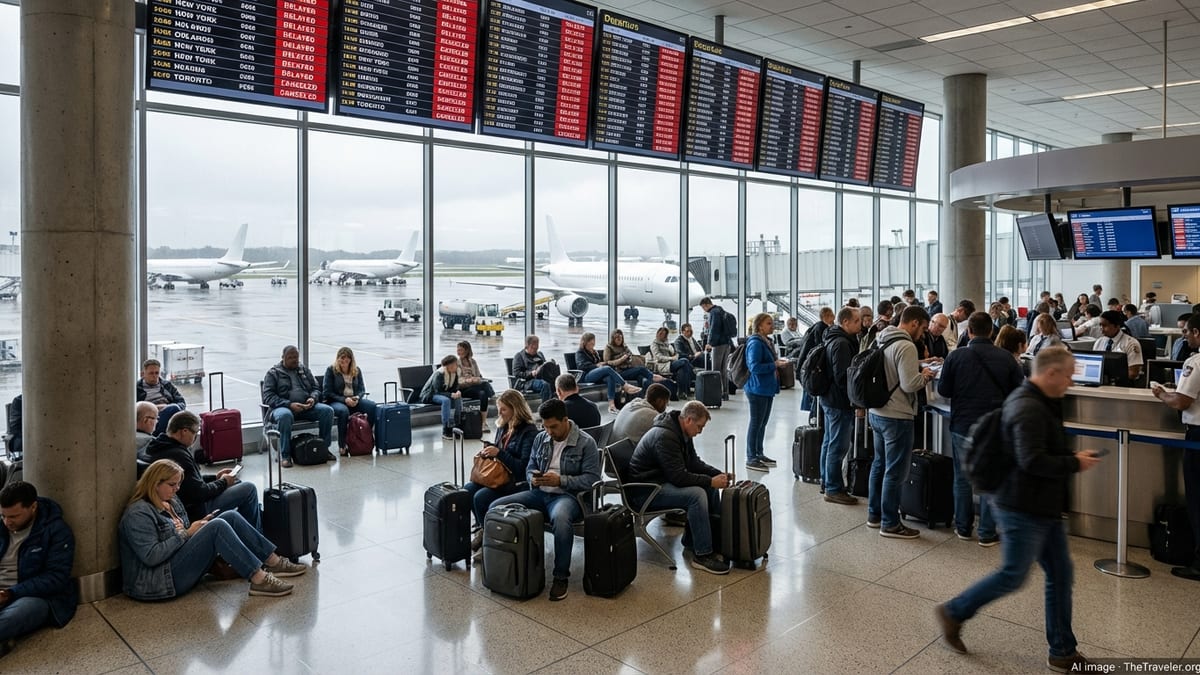
By Thursday midday, travelers at New York and New England airports were encountering familiar signs of a severe weather disruption: departure boards filling with yellow delay markers, check-in agents rebooking itineraries for those with tight connections, and messages from airlines encouraging customers to monitor mobile apps for gate changes and revised departure times. Some carriers have begun issuing weather-related waivers that allow passengers to move travel to later dates without standard change fees.
Rail and highway options across the Northeast are also feeling the effects of the storm system. Heavy rain and strong winds have slowed road traffic on sections of Interstate corridors running through New York and New England, and localized power outages have been reported in parts of upstate communities where earlier thunderstorms passed through. These overlapping impacts leave some travelers with limited alternatives if flights are significantly delayed.
Airport operations teams are working to keep ground handling activities within established safety thresholds, pausing outdoor ramp work when lightning or extreme wind gusts are detected nearby. Such stoppages, even if brief, can compound gate delays as baggage loading, fueling and de-icing or storm inspections are temporarily suspended.
Advice for Flyers with Upcoming Northeast Departures
Travel industry guidance based on similar severe weather events suggests that passengers with flights into or out of New York and New England on Thursday should build in additional time and prepare for schedule changes. Checking flight status frequently, opting into airline text or app notifications, and traveling with carry-on luggage when possible can all help minimize disruption when sudden thunderstorms force ground holds or reroutes.
Travel planners also point to historical data showing that early morning departures tend to be less vulnerable to knock-on delays than afternoon and evening flights once storms and congestion have built up. For those whose plans are flexible, rebooking to off-peak times or later dates while weather waivers are in place can be a practical way to avoid the worst of a severe-weather day.
With the tornado watch scheduled to expire later on Thursday as the storm system sweeps offshore, aviation analysts expect a staggered recovery in operations, with regional airports clearing backlogs first and the largest hubs in the New York area normalizing schedules later in the evening and into Friday. Until then, the combination of severe storms and a busy summer travel calendar is likely to keep pressure on airlines and passengers across the Northeast.