


More news on this day
A large typhoon edging toward Japan’s Kanto region is setting up a high-impact travel period across Greater Tokyo, with rail operators flagging possible line-wide suspensions and airlines warning of schedule changes from Sunday, September 20 through at least Monday, September 21.
Get the latest news straight to your inbox!
What the forecast means for Tokyo-area travel
Published coverage in Japan on Sunday, September 20 points to a fast-changing transport picture as Typhoon No. 25 (also referenced in some international advisories as Dujuan) tracks close enough to bring strong winds and intense rain to the Kanto-Koshin area. Forecast timelines circulating in weather coverage focus on the storm’s closest approach from midday Monday, September 21 into late Monday night, a window that can coincide with precautionary shutdowns in the Tokyo metro area when wind thresholds are reached.
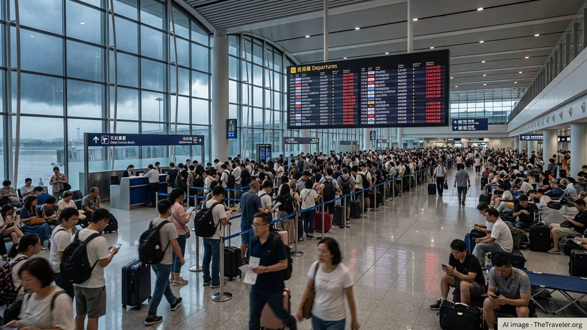
For travelers, the biggest practical issue is not just the weather at the destination, but the reliability of “last-mile” links, especially airport access and commuter corridors. Even when airports remain open, limited rail service can make it difficult to reach terminals, and disruptions can cascade into missed connections and packed station concourses as passengers pivot to alternate routes.
Because forecast tracks and intensity estimates can shift, the most useful planning approach over the next 24 to 48 hours is to treat posted timetables as provisional, avoid tight connections, and build in buffer time for station crowding, slower boarding, and sudden service halts.
Rail networks at risk: JR East metropolitan lines and key limited expresses
JR East’s published advisories for the Kanto area indicate a broad risk of delays and cancellations beginning Sunday evening, September 20, and extending into early Tuesday, September 22, depending on local conditions. In addition to urban commuter services, the operator’s disruption outlook has included major airport and coastal routes that often become chokepoints during severe weather.
Separate JR East train-status guidance has specifically highlighted the Narita Line, where operations between Narita and Choshi may stop from around the evening of September 20 through the entire day Monday, September 21. That matters for travelers headed to or from parts of Chiba Prefecture as well as those trying to reposition ahead of flight changes.
Published coverage of JR East’s storm planning has also pointed to potential impacts across widely used Greater Tokyo services such as the Yamanote, Keihin-Tohoku, Tokaido, Yokosuka, Shonan-Shinjuku, Saikyo, Utsunomiya, and Takasaki lines, among others. On the limited express side, disruption warnings have included services such as the Narita Express and other named limited expresses that connect Tokyo with Chiba and resort areas, which can complicate both airport access and domestic leisure travel during a holiday-style period.
Air travel: Haneda and Narita bracing for cancellations and rebooking surges
Airlines have been signaling that flights using Tokyo’s two main airports could be affected from the afternoon of Sunday, September 20 through Monday, September 21 as winds and rain intensify. The most common near-term impacts typically show up as preemptive cancellations, delayed departures as aircraft and crews are repositioned, and inbound diversions if crosswinds exceed operational limits.
Carrier notices posted Sunday include storm-related operational impact statements and rebooking guidance for travelers with Tokyo-area itineraries. For example, ZIPAIR posted a typhoon-related operations notice dated September 20, and Delta’s weather advisory for Tokyo-Haneda travel includes change-fee waivers tied to specific rebooking windows, a signal that airlines expect enough disruption to justify flexible ticket handling.
For travelers, the immediate priority is to check the operating carrier’s latest flight status and manage connections proactively. If you are transiting through Tokyo to another destination, disruption can strand passengers at the origin airport if the first segment cancels, or at the connection point if onward flights are full once operations resume. Seats can also tighten quickly after cancellations, especially on high-demand routes and when multiple airlines reduce schedules at the same time.
Airport access and the weak link problem: getting to the terminal
In Kanto typhoon scenarios, getting to the airport can become harder than the flight itself. Even when runways remain usable, rail suspensions and road restrictions can cut access between central Tokyo and the airport area, particularly on lines exposed to coastal winds or heavy rain. Japan’s own disaster-management documentation from past typhoon events has highlighted how airport operations can continue while rail and road access is disrupted, leaving travelers unable to reach terminals or exit after arrival.
For Narita access, Keisei’s Skyliner remains one of the best-known options for fast service from Ueno and Nippori, with published fare information and typical fastest travel times available on Keisei’s official materials. However, during severe weather, the key variable is not the advertised journey time but whether services are curtailed, shifted onto alternate routings, or halted temporarily.
Travelers should also be prepared for crowded ticket halls, limited taxis, and longer-than-normal baggage and security queues if large numbers of passengers arrive earlier than usual to hedge against transport uncertainty. If your flight is still operating, arriving at the airport significantly earlier than normal can reduce the risk of missing check-in cutoffs if rail operations slow or stop en route.
How to reduce disruption over September 20–22
Timing matters. With multiple sources placing the highest-impact window from late September 20 into September 21, the simplest way to reduce risk is to avoid traveling during the peak wind-and-rain period where possible, shifting departures to earlier Sunday, September 20 or later Tuesday, September 22, when the system is expected to weaken and move away.
If you must travel, aim to protect your most fragile links: airport access, the first or last train of the night, and connections with tight transfer times. A single commuter-line suspension can strand travelers between hubs, and replacement buses may be limited or slow when roads are affected.
Finally, keep documentation handy. JR operators and airlines commonly provide delay and cancellation certificates through their official channels, which can be useful for workplace documentation and for travel insurance claims where applicable. Given the pace of change as the storm approaches, travelers will get the most reliable day-of guidance by checking real-time rail status pages and airline flight-status tools repeatedly rather than relying on morning forecasts or earlier screenshots.