


More news on this day
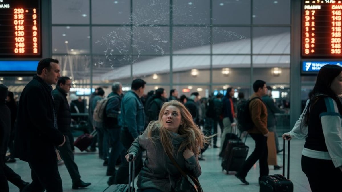
Air travel across the United States faced major disruption as Tropical Storm Bertha brought heavy rain, low clouds and gusty winds to parts of the Gulf Coast and Southeast, with publicly available tracking data showing more than 4,000 flights delayed nationwide at the height of the storm’s impact.
Get the latest news straight to your inbox!
Storm Marches Inland After Louisiana Landfall
Tropical Storm Bertha made its first U.S. landfall near St. Bernard Parish in southeast Louisiana on Wednesday afternoon, bringing sustained winds of around 45 miles per hour and periods of intense rainfall to low-lying communities along the coast. National Hurricane Center updates and National Weather Service discussions indicated that the storm’s center then drifted west across southern Louisiana before reentering the Gulf of Mexico.
Through Wednesday night and into Thursday, Bertha tracked along the northern Gulf, maintaining tropical storm strength over warm waters before making a second landfall along the Texas coast. While maximum sustained winds remained below hurricane force, the broad wind field and pockets of severe thunderstorms around the circulation created periods of dangerous crosswinds, wind shear and low visibility at several regional airports.
Forecasters highlighted the risk of coastal flooding and rough surf along the Louisiana and Texas shorelines, along with locally heavy downpours that could briefly overwhelm drainage systems. Even where rainfall totals were not extreme, fast-changing ceilings and bands of convection repeatedly forced adjustments to approach and departure paths at airports from New Orleans to Houston.
Meteorological outlooks suggest that Bertha will weaken steadily as it moves farther inland over Texas and the southern Plains. However, forecasters note that lingering moisture trailing the system could continue to generate scattered thunderstorms and low clouds, sustaining some aviation impacts even as wind speeds drop below tropical storm thresholds.
Nationwide Ripple Effect Pushes Delays Past 4,000
Data from widely used flight-tracking platforms showed that delays across the United States climbed steadily through the day as Bertha’s weather envelope expanded. By late afternoon, the number of delayed flights exceeded 4,000, with hundreds more cancellations concentrated at key hubs in the storm’s path.
New Orleans, Houston and other Gulf Coast airports experienced the most acute disruptions as airlines adjusted schedules to keep crews and aircraft clear of the most hazardous conditions. In some cases, departures were held at the gate while ground controllers waited for storms to pass the airfield or for wind shear alerts to subside. Arrivals were spaced out more widely than usual, reducing overall capacity even when runways remained technically open.
Those disruptions quickly propagated across the broader U.S. network. Aircraft and crews scheduled to operate later flights out of unaffected cities were delayed on their inbound legs from the Gulf region, triggering secondary delays in major inland hubs such as Dallas, Atlanta and Chicago. Afternoon and evening bank structures at large connecting airports were particularly affected as missed connections forced airlines to reshuffle passengers and aircraft.
Operational planning documents and industry reports indicate that airlines attempted to preempt the worst of the chaos by trimming some schedules in advance and issuing flexible rebooking options for travelers headed into the storm-affected zone. Even so, the combination of convective weather, tight summer schedules and high load factors left little slack, and delays quickly mounted as the storm evolved.
Key Hubs Grapple With Weather and Capacity Constraints
New Orleans Louis Armstrong International and Houston’s George Bush Intercontinental were among the airports most exposed to Bertha’s direct impacts. Periods of heavy rain lowered visibility below normal operating thresholds on some approaches, while shifting wind directions forced runway changes that temporarily reduced the number of arrivals and departures controllers could safely handle.
In New Orleans, publicly available weather observations showed gusts exceeding 40 miles per hour at times, conditions that can complicate landings and departures for smaller regional jets and turboprops. Airlines responded with a mix of ground holds, airborne holding patterns and, in some cases, diversions to alternate airports with more favorable weather and runway alignment.
Houston and other large Gulf Coast airports faced a different set of challenges as Bertha’s broad circulation brushed the region. Thunderstorm clusters on the periphery of the storm periodically parked over key arrival and departure corridors, forcing temporary pauses in operations. When traffic resumed, controllers had to work through significant backlogs of aircraft waiting to depart, while arriving flights were metered in at reduced rates to preserve safe separation in bumpy air.
Smaller regional airports scattered along the Louisiana and Texas coasts also saw intermittent closures and service suspensions as outer rainbands crossed the shoreline. While these facilities handle fewer passengers, their disruptions contributed to a patchwork of delays and cancellations affecting travelers bound for offshore energy facilities, coastal communities and regional business centers.
Passengers Face Long Lines, Missed Connections and Limited Options
For travelers, the operational challenges translated into long waits in terminals, missed connections and uncertainty about when flights would depart. Social media posts from stranded passengers described crowded gate areas in New Orleans, Houston, Dallas and Atlanta, with some travelers reporting delays of several hours as they waited for aircraft or crew to arrive from storm-affected routes.
Published airline advisories encouraged customers to check their flight status frequently, use mobile apps for rebooking where possible and consider voluntary changes away from peak travel times. However, full or nearly full summer flights limited the availability of open seats, and many travelers found that same-day alternatives were scarce, particularly for long-haul and international connections.
Travel industry analysis suggests that disruptions of this scale can continue to affect passengers well beyond the immediate storm window. Aircraft and crew rotations often require one to two days to fully recover after a major weather event, meaning that travelers on Friday and even Saturday may still encounter residual delays and occasional cancellations linked to Bertha’s passage.
Travelers with flexible plans were advised by widely circulated consumer travel guides and airline alerts to consider postponing nonessential trips to or through the Gulf Coast region, or to reroute through unaffected hubs where possible. Those who must travel were urged to build in extra time for connections, keep essentials in carry-on bags and monitor evolving forecasts along their entire itinerary.
What Travelers Should Expect in the Coming Days
As Bertha continues to weaken over land, forecasters expect the most severe aviation hazards associated with the storm to diminish. Nonetheless, the system’s remnant moisture is likely to fuel scattered thunderstorms across portions of the South and lower Mississippi Valley, conditions that can still trigger localized ground stops and flow restrictions at busy hubs.
Flight-status dashboards indicate that airlines are gradually restoring normal operations to some affected airports, though afternoon and evening peaks remain vulnerable to renewed weather disruptions. Carriers are expected to continue limited schedule adjustments, including aircraft swaps and selective cancellations on less heavily traveled routes, in order to free up capacity on core trunk lines where stranded passengers are concentrated.
Aviation analysts caution that the broader U.S. system remains under seasonal strain, with high demand, tight staffing and limited spare aircraft all contributing to reduced resilience when major weather events occur. Even after Bertha’s immediate effects subside, travelers may continue to see knock-on delays if new storms emerge over other parts of the country.
For now, the combination of a weakening tropical system, saturated ground in parts of the Gulf Coast and a still-busy summer travel calendar suggests that flyers should remain prepared for changing conditions. Regularly checking flight status, staying alert to airline notifications and allowing extra time at the airport remain the most practical strategies for navigating the lingering aftermath of Bertha’s disruptive sweep across the nation’s airspace.