


NHTSA recorded 6,228 motorcyclist deaths nationwide in 2024, representing 16% of all traffic fatalities.
NHTSA also calculated that motorcyclists faced almost 27 times the fatality risk of passenger-car occupants per vehicle miles traveled. These national figures do not rank Duluth roads, but they establish why local route conditions deserve careful attention.

I-85 Near Pleasant Hill Road Creates a Complex Interchange Environment
I-85 near Pleasant Hill Road presents a freeway interchange environment that differs from ordinary surface streets. GDOT identifies the I-85 at Pleasant Hill Road interchange as a diverging diamond interchange, a design that changes traffic paths through the interchange and reduces potential conflict points. GDOT calculates 26 potential conflict points for a conventional intersection compared with 14 for a diverging diamond design.
The interchange places motorcycles in a freeway environment that includes ramps and changing traffic movements. A Gwinnett County Police investigation documented a fatal collision on northbound I-85 north of Pleasant Hill Road after a disabled vehicle on the right shoulder was struck and pushed into traffic. Police charged the other driver with DUI and first-degree vehicular homicide. The documented fatal crash illustrates how a disabled vehicle on the shoulder can create a serious hazard for traffic.
Duluth Highway Creates Serious Left-Turn Exposure
Duluth Highway is identified as SR 120 in GDOT project documentation and includes multiple intersections along the Duluth corridor. GDOT records identify projects along SR 120 in Duluth that would alleviate traffic backups and lane-change conflicts along the corridor from Buford Highway through Main Street and Duluth Highway to Hill Street.
"Left-turning vehicles along Duluth Highway pose severe risks to oncoming motorcyclists, often due to visibility issues or misjudged speeds. Riding along SR 120 requires riders to anticipate opposing traffic movements and maintain defensive positioning near major intersections." Peter Jaraysi
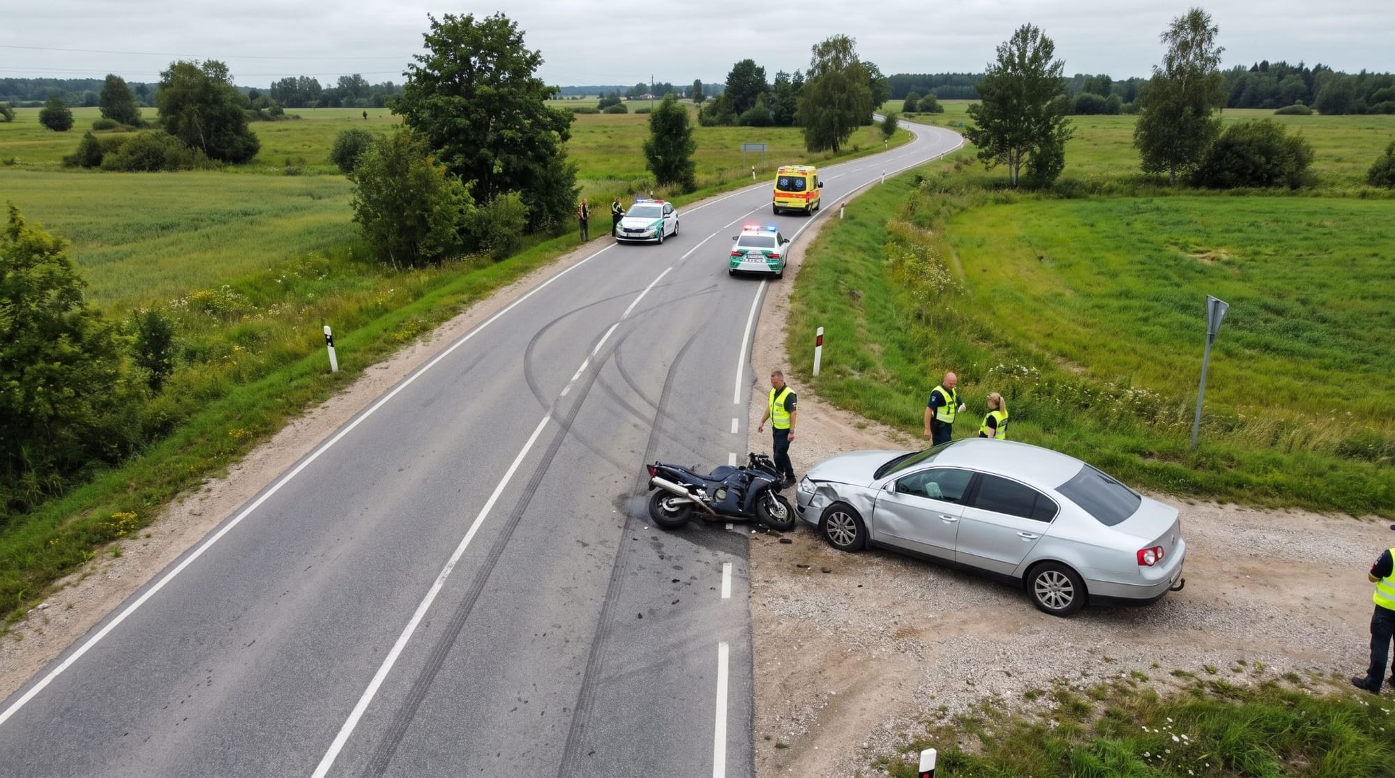
One documented crash illustrates the specific problem. Gwinnett County Police investigated a fatal motorcycle collision at Duluth Highway and Meadow Church Road after an eastbound vehicle began a left turn toward Meadow Church Road. The motorcycle traveling westbound struck the turning vehicle, and investigators identified the motorcycle's speed as a possible contributing factor; the posted speed limit was 45 mph. The documented event does not establish a general crash rate for the intersection, but it demonstrates how opposing traffic and left-turn movements can create a serious motorcycle conflict.
Peachtree Industrial Boulevard Combines Traffic And Lane Changes
Peachtree Industrial Boulevard is a major Gwinnett County roadway with multiple intersections and improvement projects. Peachtree Industrial Boulevard extends through portions of Duluth, Norcross, and Suwanee in Gwinnett County.
According to Peter Jaraysi, a Duluth motorcycle accident lawyer at Slam Dunk Attorney, an Avvo Clients' Choice Award recipient, selected to Super Lawyers in 2025, and a 2025 Best of Gwinnett Winner, "Corridors with frequent commercial turnoffs create unpredictable lane changes and sudden speed variations. Motorcyclists navigating multi-lane routes like Peachtree Industrial Boulevard should anticipate turning vehicles and avoid traveling alongside high-profile traffic where sightlines are compromised."
The risk does not come from the road name itself. Multiple traffic movements can create additional points where motorcycles and other vehicles interact. Motorcycle accidents often lead to severe injuries while insurance adjusters actively attempt to shift fault onto the rider. If you need an objective evaluation of a motorcycle crash claim in Duluth, Georgia, Slam Dunk Attorney offers cost-free initial consultations. Call (678) 329-9750 or stop by 2250 Satellite Blvd, Ste. 120, just a 7-minute drive from Duluth Municipal Court, 3276 Buford Hwy, to discuss your case.
Buford Highway And Main Street Change The Risk Pattern
Buford Highway includes local intersections and access points that differ from the freeway environment on I-85. Intersections, access points, and turning movements require riders to monitor traffic from multiple directions. The SR 120 projects in central Duluth also address existing traffic backups and lane-change conflicts along the Buford Highway, Main Street, and Duluth Highway alignment.
Main Street forms part of the SR 120 alignment through downtown Duluth, where traffic flow and signal operations are part of the documented corridor improvements.
Satellite Boulevard Adds Commercial-Traffic Exposure
Satellite Boulevard serves areas with commercial and employment-oriented development. GDOT provides crash data that can be used to examine crash patterns by location and crash type. GDOT's crash dashboard contains five years of crash data from Georgia public roads and allows filtering by location and crash type. That database provides a method for examining Duluth corridors by crash location and crash type.
Why Interchanges And Intersections Matter More Than Road Names
Motorcycle use alone does not establish that a roadway has a higher crash risk. A roadway assessment should consider the traffic conflicts and crash patterns associated with particular locations. GDOT guidance states that crash history should be investigated during conceptual design for all projects.
That approach can provide more specific information for evaluating roadway safety. I-85 near Pleasant Hill Road includes a freeway environment where riders should monitor traffic and roadside hazards. Duluth Highway at Meadow Church Road includes opposing traffic and left-turn movements that can create motorcycle conflicts. Peachtree Industrial Boulevard includes multiple intersections and traffic movements that require riders to monitor surrounding vehicles. Buford Highway and Main Street include intersections and traffic-control points that riders should monitor.
Safer Route Selection Starts With Specific Road Conditions
Route evaluation should consider roadway conditions and available crash information rather than road reputation alone. Roadway and traffic conditions, including surface conditions, obstructions, and congestion, can contribute to crashes.
GDOT crash investigations document crash location, contributing factors, the crash narrative, and vehicle paths and conditions through the crash diagram.
For travelers near Duluth, government sources document a fatal crash on I-85 north of Pleasant Hill Road and a separate fatal motorcycle crash at Duluth Highway and Meadow Church Road; GDOT also documents projects on several local corridors. Government sources do not support labeling one of those roads as categorically “the most dangerous.” The available evidence supports a more precise conclusion: specific intersections, interchanges, traffic patterns, and roadway conditions can create significant motorcycle hazards.