


More news on this day
Operations at Charlotte Douglas International Airport experienced significant disruption on July 10, 2026, when a line of strong thunderstorms prompted a temporary ground stop that halted many departures and sharply reduced arrivals.
Get the latest news straight to your inbox!
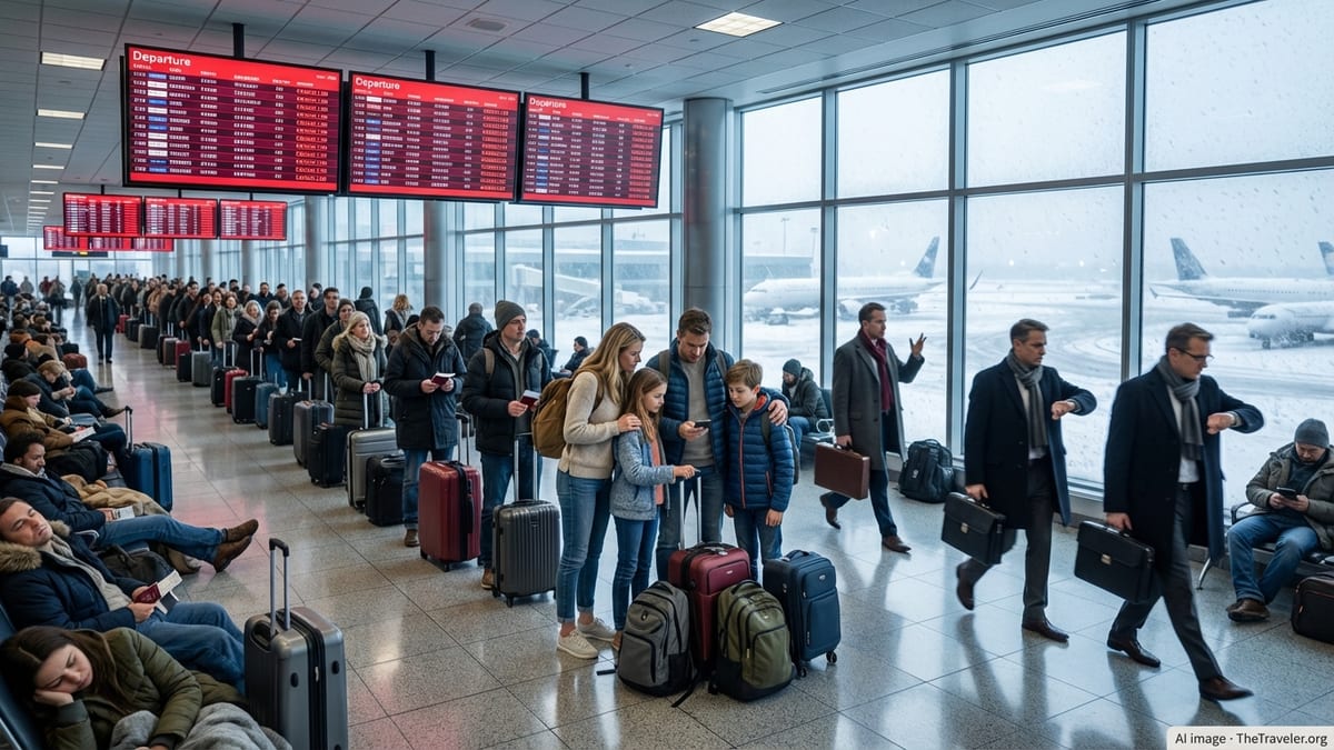
Thunderstorms Disrupt One of the Nation’s Busiest Hubs
The ground stop at Charlotte Douglas International, one of the country’s largest airline hubs, came as slow-moving thunderstorms developed over the Charlotte metropolitan area Friday afternoon. Publicly available weather forecasts for the airport showed repeated rounds of showers and thunderstorms in the forecast window, raising concerns about lightning, wind shear and reduced visibility around key arrival and departure corridors.
Information from national aviation planning advisories indicates that convective weather across the eastern United States has been a recurring challenge this week, with multiple major airports facing intermittent traffic management programs related to storms. Charlotte’s ground stop on July 10 followed similar weather-related constraints at other hubs in recent days as summer thunderstorm activity intensified.
Charlotte’s role as a major connecting point meant that the local weather quickly had national effects. Flight-tracking and schedule data showed delays building through the afternoon, as aircraft bound for Charlotte remained on the ground at origin airports or were held in extended departure queues.
While ground stops are designed to be temporary safety measures, the combination of storm timing, peak travel demand and aircraft positioning contributed to wider disruption, particularly for passengers relying on tight connections through the airport.
Scope and Timing of the Ground Stop
According to aviation operations summaries, the ground stop at Charlotte began as thunderstorms approached the airfield and surrounding airspace, restricting the number of aircraft that could safely arrive or depart. Ground stops typically limit or temporarily halt departures destined for the affected airport, helping controllers manage airspace saturation and runway capacity during adverse conditions.
The July 10 program was focused on the afternoon and early evening peak, a period when Charlotte normally handles heavy banked operations. Publicly available flight status boards indicated growing clusters of delayed departures, with some flights pushed back by several hours while crews waited for improved weather and revised release times from air traffic control.
Arrivals also felt the impact, with some inbound aircraft placed in holding patterns and others diverted to alternate airports when the thunderstorms were most intense over the field. Once the most active cells moved away and lightning frequency decreased, arrival rates gradually increased and the ground stop parameters were eased, allowing some flights to resume departures.
Even after the formal ground stop window ended, operational knock-on effects continued into the evening, as carriers worked through backlogs of delayed flights and repositioned aircraft and crews.
Passenger Impact and Airline Responses
The disruption came at the height of the summer travel period, when flights at many U.S. airports are already operating near capacity. At Charlotte, passengers reported via social media that boarding processes were paused, aircraft remained parked at gates with doors closed, and some flights returned to gates after initial taxi due to lightning or revised ground stop parameters.
Publicly accessible airline alerts and customer notifications described rolling delays and occasional cancellations connected to “weather and air traffic control programs” in the Charlotte region. In some cases, travelers with connections through Charlotte were proactively rebooked over other hubs to avoid the most congested periods.
Airlines generally prioritize safety-related constraints over schedule reliability, and storm-driven ground stops are a standard part of that approach. However, the combination of full flights, limited spare aircraft and crew duty-time limits meant that some disruptions extended well beyond the immediate weather window, with missed connections and overnight stays for affected travelers.
Travel advisory platforms and third-party flight tracking services noted that day-of delays at Charlotte on July 10 were above typical summer averages, reflecting the intensity and timing of the afternoon storm line.
Weather Pattern Behind the Disruptions
Meteorological outlooks for the Charlotte area leading into the weekend had highlighted a moist, unstable air mass over the Carolinas, with daytime heating and upper-level disturbances favoring scattered to numerous thunderstorms. Forecast discussions emphasized the potential for storms to cluster into lines that could repeatedly impact the same locations, a pattern that often leads to aviation constraints across the region.
At Charlotte Douglas International, the combination of convective cells near departure gates and along approach paths created particular challenges. Lightning in close proximity to ramp areas can temporarily halt refueling, baggage loading and boarding, compounding the impact of any formal ground stop on overall turnaround times.
Historical climate and hazard assessments for Mecklenburg County show that summer thunderstorms are a regular feature of the region, with short-lived but intense events capable of disrupting transportation and power infrastructure. For airports, these storms present overlapping hazards, including gusty outflow winds, heavy rain, hail and potential microbursts near the runway environment.
While the July 10 event was managed within the existing safety framework, it underscored how even routine summer storms can significantly affect a high-volume hub when they coincide with peak travel periods.
What Travelers Can Expect Next
With forecasts indicating continued chances of showers and thunderstorms across the Carolinas through the weekend, aviation planners are likely to keep a close eye on convective trends that could again affect air traffic flows into and out of Charlotte. Publicly accessible airline advisories encourage travelers to monitor flight status frequently, especially for afternoon and evening departures when thunderstorms are most common.
Industry experience from previous storm-impacted days at large hubs suggests that residual effects from July 10 could linger into subsequent schedules, particularly if aircraft and crew rotations remain out of position. Early-morning flights on the following day are sometimes used to help absorb disrupted connections and restore normal patterns.
Travel experts often recommend that passengers transiting through storm-prone hubs build longer connection windows during the peak summer season and consider morning departures when feasible, as early flights are statistically less likely to be affected by later-day convection. For those with flexible plans, voluntary rebooking options and travel waivers, when available, can reduce the risk of extended airport waits during active thunderstorm periods.
As the core of the summer travel season continues, the July 10 ground stop at Charlotte illustrates how quickly weather can transform a routine travel day into a complex operational challenge, with ripple effects felt across airline networks in the eastern United States.