


More news on this day
A Met Office yellow fog warning covering 36 areas of England and Wales is in force this morning, with dense patches of freezing fog expected to slow or disrupt road, rail and air travel until at least mid morning.
Get the latest news straight to your inbox!
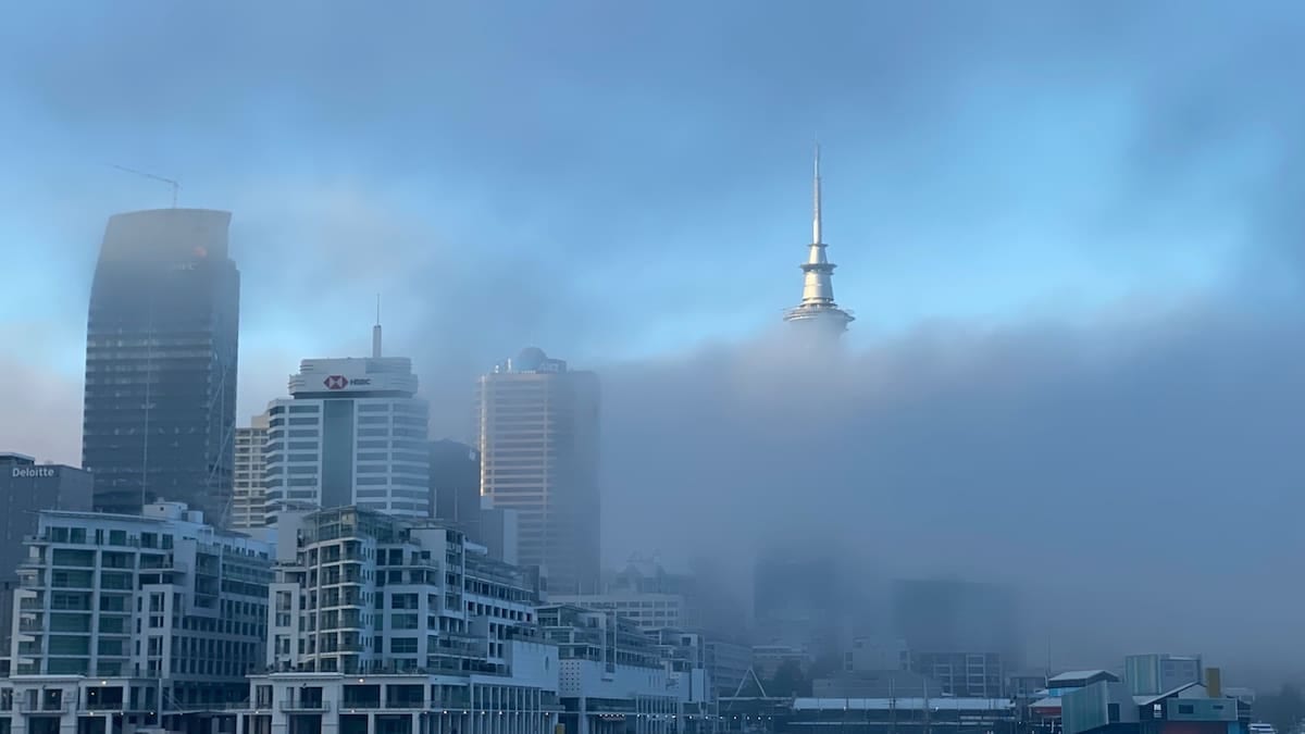
Five hour yellow alert as visibility drops below 100 metres
The latest National Severe Weather Warning, issued by the Met Office at 04:11 on Saturday 31 October, highlights a swathe of central and northern Britain where visibility is forecast to fall below 100 metres in places. The yellow fog warning is scheduled to run from 04:00 to 10:00, though forecasters note that in some locations fog could linger into the afternoon.
According to the published warning matrix, the alert carries a high likelihood and moderate impact level, signalling a strong chance of disruption without rising to the most serious categories used for widespread damage or danger to life. The combination of very light winds, clear overnight skies and residual surface moisture after a stormy week has allowed fog to form and thicken over large inland areas.
Met Office guidance explains that yellow warnings are issued when there is a reasonable probability of weather conditions affecting everyday activities, including slower journeys and localised transport disruption. For fog, the main concerns are rapid changes in visibility, which can catch drivers out, and knock on effects for rail timetables and airport operations where low visibility procedures are required.
The current alert follows several days of unsettled weather associated with storms Austen and Boelo, which brought heavy rain, high river levels and strong winds to many parts of the UK. As conditions have calmed, mist and fog have become more prevalent, particularly in the early morning hours when temperatures are at their lowest.
Which parts of the UK are affected
The warning stretches from the East Midlands through the East of England and into Yorkshire and the Humber, while also taking in parts of Wales, the West Midlands, the North West and the northern home counties. In total, 36 local authority areas are listed within the affected zone.
In the East Midlands, the alert covers Derby, Derbyshire, Leicester, Leicestershire, Lincolnshire, Northamptonshire, Nottingham, Nottinghamshire and Rutland. These areas include stretches of key inter urban routes such as the M1 corridor and connecting A roads feeding into the region’s main cities.
Further east, Bedford, Central Bedfordshire, Cambridgeshire, Hertfordshire, Norfolk and Peterborough fall within the warning, bringing parts of the A1, A14 and A47 under the zone of reduced visibility. To the south, Buckinghamshire and Milton Keynes are included, meaning conditions on sections of the M1 and commuter routes into London could be affected during the early part of the day.
To the west, the alert extends into Cheshire East and Cheshire West and Chester, while in Wales it covers Denbighshire, Flintshire, Powys and Wrexham. Across the West Midlands and into northern England, Shropshire, Staffordshire, Stoke on Trent and Telford and Wrekin are named, along with East Riding of Yorkshire, Kingston upon Hull, North East Lincolnshire, North Lincolnshire, North Yorkshire, South Yorkshire, West Yorkshire and York.
Travel impact on roads, rails and runways
Publicly available information from the Met Office and transport operators indicates that the most immediate impact is expected on the road network during the early morning peak. Dense fog can lead to sudden variations in visibility, particularly on higher ground and in low lying stretches near rivers, prompting slower traffic speeds and localised congestion.
Drivers using major motorways and trunk roads within the warning area, including parts of the M1, M6, A1, A14 and key cross country routes in the Midlands and north of England, are being advised through travel bulletins to allow extra time for journeys and to be prepared for delays where rolling fog banks reduce sightlines. Fog can also mask standing water and surface spray left over from recent heavy rain, increasing braking distances.
On the rail network, journey planners for operators serving the East Midlands, Yorkshire, the North West and North Wales are currently showing broadly normal timetables, but previous yellow fog events have led to speed restrictions in places where visibility falls very sharply. Industry guidance notes that signalling and level crossing operations can be affected when drivers have less time to react to signals or trackside hazards.
At airports, the warning coincides with the first wave of departures from regional hubs such as East Midlands, Leeds Bradford, Doncaster Sheffield’s catchment via nearby airports, Manchester and Liverpool, as well as smaller airfields in affected counties. When visibility drops below defined thresholds, airports may introduce low visibility procedures that increase spacing between aircraft landings and departures, potentially leading to knock on delays and, in some cases, cancellations.
What yellow fog warnings mean for travellers
The Met Office’s warning guide explains that yellow alerts are intended to prompt people to review their plans and prepare for possible disruption, rather than signalling that travel should stop altogether. For fog, practical steps highlighted in public advice include checking local forecasts and live travel updates before setting out, allowing more time for journeys and adjusting departure times where schedules are flexible.
Motorists are encouraged by road safety campaigns to ensure fog lights and dipped headlights are working correctly, to maintain greater separation distances from the vehicle ahead and to avoid sudden braking in low visibility. Drivers are also reminded not to use full beam in fog, which can reflect off water droplets and make conditions appear worse.
Rail passengers planning early services through the affected counties are being urged via operator websites and station information screens to check for short notice changes. Some services may experience minor delays if speed restrictions are imposed on exposed sections of track or where signalling sightlines are reduced.
Air passengers flying from or into airports near the warning area are advised in published guidance to monitor flight status pages and allow extra time for check in and security, particularly on busy weekend departures. Airlines may adjust schedules or consolidate services if low visibility procedures reduce capacity on the runway for part of the morning.
Looking ahead: fog risk after a stormy week
Forecasters note that the current fog episode follows a notably unsettled period dominated by successive Atlantic storms bringing high winds and heavy rain to the UK. With winds now lighter and skies clearer overnight, conditions have become more favourable for the formation of radiation fog, particularly over damp ground in river valleys and low lying farmland.
Outlook guidance from the Met Office suggests that similar patterns of calm, chilly nights and relatively mild days could allow further bouts of overnight and early morning fog in the coming days, especially across central and eastern England. However, the exact extent and density of any future fog patches will depend on local wind patterns and cloud cover, and new warnings would be issued only if impacts are deemed likely.
Travellers across the affected 36 areas are therefore being encouraged by publicly available forecasts and travel bulletins to keep an eye on updates through the weekend. While today’s yellow warning is time limited, the combination of saturated ground from recent rainfall and lighter winds means that mist and fog could remain a recurring feature of the UK weather pattern as October gives way to November.