


More news on this day
Slow moving thunderstorms across central North Carolina this week have produced heavy rain, street flooding and widespread tree damage, while also prompting flight delays and disruptions at Raleigh Durham International Airport.
Get the latest news straight to your inbox!
Heavy rain floods roads across central North Carolina
Central North Carolina has endured repeated rounds of showers and thunderstorms since early in the week, with downpours on July 20 and 21 setting the stage for renewed flooding concerns by Friday, July 24. Hazardous Weather Outlooks from the National Weather Service in Raleigh highlighted a risk of excessive rainfall and flash flooding for much of the region, including the Triangle and Sandhills, as storm cells tracked slowly across the same areas.
By Friday, locally intense storms produced fast rising water on smaller creeks and low lying roads. Reports from communities in the Sandhills and around Fayetteville described flooded intersections and ponding on major routes as rain overwhelmed storm drains. Weather summaries indicated that some locations saw multiple inches of rain within a few hours as clusters of storms repeatedly moved over the same corridor.
Short term alerts focused on urban and small stream flooding, but forecasters also noted the potential for flash flooding where storms persisted the longest. Recent flood advisories for parts of central and eastern North Carolina pointed to saturated ground from earlier rainfall, making even moderate additional precipitation more likely to run off quickly into streets and drainage channels.
Travelers driving through the region encountered temporary closures and detours as public information channels flagged standing water on certain secondary roads. Transportation updates emphasized the need to avoid driving through flooded stretches, where water depth could be difficult to judge and rapid rises were possible during the most intense downpours.
Fallen trees damage homes and block neighborhood streets
Alongside flooding, strong wind gusts embedded in the storms have brought down trees and large limbs across central North Carolina. Local broadcast coverage documented multiple incidents of trees crashing onto homes, vehicles and power lines as cells strengthened while moving through suburban neighborhoods.
In the Triangle, images from Raleigh and nearby communities showed mature trees uprooted in saturated soil, with trunks sheared or tilted after prolonged rainfall softened the ground. One widely shared example from the week featured a large tree that fell onto a house in Cary following an evening storm, leaving the structure visibly damaged and prompting cleanup efforts that lasted into the next day.
Damage reports compiled from recent severe weather statements in the Carolinas indicated that thunderstorm wind gusts frequently exceeded levels that can snap weaker trees or topple those already stressed by disease or wet soil. In some cases, downed trees blocked residential streets and driveways, forcing temporary closures while work crews removed debris and checked for downed lines.
The combination of saturated ground and bursts of stronger wind remains a concern as additional showers and storms are forecast. Public guidance circulating this week has encouraged homeowners to monitor leaning trees, clear loose branches from yards where possible, and remain alert during periods of thunder and lightning when weaker trees are more likely to give way.
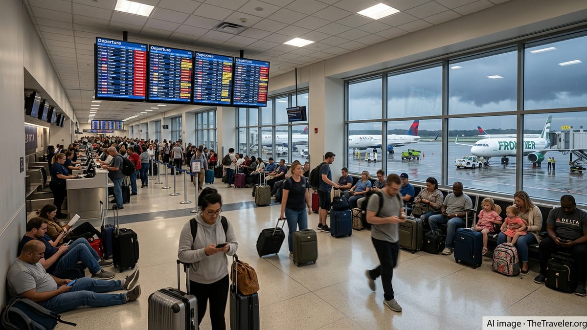
Flight delays ripple through Raleigh Durham International Airport
The unsettled weather has also affected air travelers using Raleigh Durham International Airport, where afternoon and evening storms over the Triangle can quickly disrupt tightly scheduled operations. While the airport itself continued to operate, publicly available flight information over recent days has shown clusters of delayed arrivals and departures as thunderstorms formed near approach and departure paths.
When storms build over central North Carolina during peak travel times, arriving flights may be held in the air, rerouted around heavier cells, or diverted to other airports until conditions improve. Departing flights can also face ground stops if lightning and heavy rain move directly over the field, limiting the ability of ramp crews to work safely around aircraft and equipment.
Travel forums and social media posts from early July already highlighted how quickly weather related delays at RDU can cascade, with even a small number of disrupted flights contributing to longer waits and missed connections later in the day. The latest round of storms has followed a similar pattern, with some passengers reporting extended gate holds, revised departure times and last minute changes to connection plans.
Although many weather related delays at RDU resolve once storms pass, the concentration of thunderstorms over central North Carolina this week has increased the likelihood of rolling impacts. Travelers with flights scheduled in the late afternoon and evening have been advised, through airline alerts and airport status boards, to monitor their flight status closely and allow extra time for potential disruptions.
Forecasters monitor additional storm chances into the weekend
Meteorologists tracking the pattern over North Carolina describe the current setup as favorable for repeated rounds of heavy rain and thunderstorms, rather than a single organized system moving quickly through. Moist, unstable air over the region, combined with weak frontal boundaries, has allowed new storms to redevelop each day, keeping soil moisture high and limiting the ability of streams and drainage systems to fully recover between events.
Hazard outlooks heading into the weekend continue to reference a slight risk of severe thunderstorms and localized flash flooding for central portions of the state. While not every community will experience the heaviest downpours or strongest winds, areas that have already seen significant rain and tree damage are more vulnerable to additional impacts if storms repeatedly track over the same zones.
Publicly available guidance has emphasized that the primary threats are heavy rain, gusty winds capable of bringing down trees and branches, and frequent lightning. Hail and more organized severe weather appear less widespread, but cannot be ruled out in the strongest cells. Residents are encouraged to stay aware of rapidly changing conditions, particularly during the late afternoon and evening when storms have been most active.
For those with upcoming travel plans, both on the roads and through Raleigh Durham International Airport, the pattern suggests a continued need for flexibility. Checking forecasts before departure, monitoring airline notifications, and planning alternate routes around known flood prone areas can help reduce the likelihood of more serious disruptions as central North Carolina navigates another stretch of midsummer storms.