


More news on this day
Thunderstorms sweeping through North Texas have disrupted operations at Dallas Fort Worth International Airport, triggering widespread delays and cancellations that left hundreds of passengers facing extended waits and missed connections across one of the nation’s busiest hubs.
Get the latest news straight to your inbox!
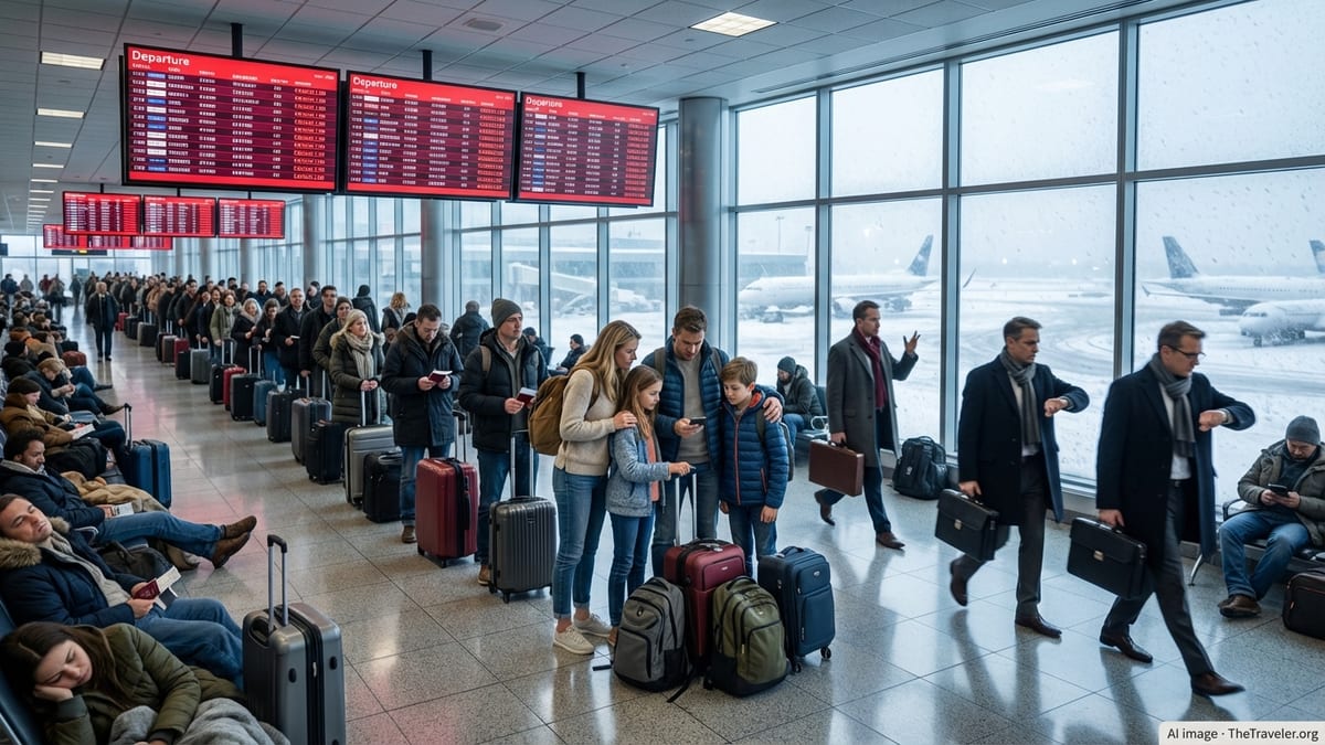
Storm cells force slowdown at key national gateway
Publicly available flight-tracking data indicates that a cluster of slow-moving thunderstorms over the Dallas Fort Worth area prompted a significant reduction in arrival and departure rates at DFW International. Air traffic management advisories show that ground delay programs and brief ground stops were used to meter traffic into the airport as lightning and heavy rain moved across runways and approach paths.
Operational summaries for the Dallas airspace region describe thunderstorms as a primary constraint on Saturday’s schedule, with Dallas Fort Worth International and nearby Dallas Love Field both affected by convective weather. Average arrival delays into the Metroplex extended well beyond typical summer slowdowns as controllers spaced aircraft farther apart and temporarily held departures on the ground.
Flight statistics compiled during the peak of the disruption point to nearly 300 delayed flights into and out of DFW, alongside dozens of outright cancellations as airlines reworked schedules around the storms. The impact rippled throughout domestic networks, stranding connecting passengers at outstations when inbound aircraft were unable to depart for North Texas on time.
Airport status pages maintained by federal aviation authorities advised travelers to check directly with airlines for the latest departure and arrival times, noting that conditions were changing as storm cells intensified, weakened, and redeveloped in the region’s hot, humid summer air.
Ground stops, diversions and a cascading day of delays
Planning advisories for the national airspace show that traffic managers used a combination of ground stops and ground delay programs to manage Saturday’s weather around Dallas. In some periods, departures destined for DFW were held at their origin airports until thunderstorms moved away from key arrival corridors. At other times, a reduced but steady stream of flights was allowed to operate under extended delay programs.
When convective storms form close to an airport, controllers often limit runway configurations, reduce acceptance rates, or suspend operations entirely until lightning and wind hazards ease. At a complex hub such as DFW, those temporary restrictions can rapidly back up arriving traffic, forcing inbound flights to hold, divert to alternates, or cancel if crews approach duty-time limits.
Reports from passengers and public flight logs indicate that some flights bound for Dallas diverted to nearby cities in Texas and Oklahoma to refuel, wait out the weather, or reposition for later arrivals. Diversions add further strain to airline networks, absorbing spare aircraft and crews that might otherwise be used to recover from the initial bout of delays.
By midday, the rolling effects of the storms meant that even cities with clear skies were seeing delays on Dallas-bound routes. Aircraft and crews that started the day in North Texas were out of position for later flights, creating a knock-on effect that extended the disruption well beyond the heaviest rainfall around the airport itself.
Passengers face missed connections at peak summer travel time
The weather-related slowdown arrived during an already busy mid-July travel period, when Dallas Fort Worth International typically handles heavy volumes of domestic and international connections. Industry data for the current summer season shows that DFW sits among the top U.S. hubs for connecting itineraries, meaning even a few hours of intense thunderstorms can strand large numbers of travelers en route to other destinations.
Social media posts and traveler forums described long lines at customer service counters and crowded gate areas as passengers waited for rebooking options. With flights on many routes already near capacity, same-day alternatives for those who missed connections through Dallas were limited, particularly on popular leisure routes and late-evening departures.
Some travelers reported overnight stays after late-night storms forced last-minute cancellations, while others described being rebooked through alternate hubs to bypass the North Texas bottleneck. As is typical in summer thunderstorm events, the severity of individual experiences varied widely, depending on factors such as destination, ticket type, and whether travelers were starting or ending their journey in Dallas.
Travel advocacy groups note that convective weather is one of the most common causes of disruption during the warm season and often results in delays that stretch late into the night, even after skies above a particular airport have begun to clear.
DFW’s weather vulnerability in a high-stakes summer
Dallas Fort Worth International’s role as a central hub in the U.S. air transportation system makes it especially sensitive to storm systems that line up along common approach and departure corridors. Studies of major rain and thunderstorm events in North Texas have found that a single day of intense weather at DFW can disrupt a significant share of an airline’s national schedule, with thunderstorms repeatedly cited as a leading cause of delays.
Meteorological research focused on the region indicates that summertime convection can build quickly along drylines and outflow boundaries, leading to rapidly changing conditions that challenge both forecasters and flight planners. Even when severe weather watches are anticipated hours in advance, the precise timing and placement of the heaviest cells can be difficult to predict, complicating efforts to keep complex hub operations running smoothly.
Recent federal notices related to the ongoing FIFA World Cup activity in the Dallas area highlight how traffic managers have been preparing for elevated demand into and out of the Metroplex this summer. Special procedures are in place to reduce congestion and streamline routing, but those measures offer limited relief when convective weather significantly restricts arrival and departure rates at a single airport.
Aviation analysts observing Saturday’s weather event suggest that the combination of peak-season demand and frequent storm systems across the central United States will continue to pose resilience challenges for hub airports such as DFW over the coming weeks.
What travelers can do when thunderstorms hit a hub
Travel experts recommend that passengers connecting through storm-prone hubs build additional time into itineraries during the summer months, especially in the late afternoon and evening hours when thunderstorms are most common. Morning departures are often less vulnerable to convective weather, though they can still be affected when aircraft and crews begin the day out of position from earlier disruptions.
Public guidance from airlines and aviation regulators emphasizes the importance of monitoring flight status through official airline channels, as schedules can change rapidly during weather events. Many carriers also encourage customers to enroll in alerts and consider same-day changes when forecasts indicate a strong likelihood of storms along a planned route.
For those already at the airport when a ground stop or delay program is announced, access to real-time information is vital. Displays and announcements typically show whether a disruption is weather-related or tied to air traffic control constraints, helping travelers understand why flights are held and how long delays may last.
As Saturday’s thunderstorms around Dallas Fort Worth International demonstrated, even relatively localized weather systems can cascade through the national air network, turning a single summer storm into a daylong challenge for crews, airlines, and passengers far beyond North Texas.