


More news on this day
Americans traveling in Mexico and along the eastern Pacific are being urged to review plans and prepare for significant disruption as Category 5 Hurricane Polo lingers off the country’s southwest coast, with powerful winds, heavy rain and life-threatening surf forecast to affect popular resort regions through the coming days.
Get the latest news straight to your inbox!
Extremely Dangerous Category 5 Storm Off Southwestern Mexico
Public advisories from the U.S. National Hurricane Center on September 23 describe Hurricane Polo as an extremely dangerous Category 5 storm over the eastern Pacific, positioned south of Mexico’s Guerrero and Michoacán coasts. Recent bulletins place the center roughly a few hundred miles south of Zihuatanejo and Manzanillo, moving only slowly and keeping its strongest winds offshore for now.
Maximum sustained winds have been estimated in recent hours at around 175 to 180 miles per hour, with very low central pressure, indicating an exceptionally intense cyclone. Forecast discussions note that Polo is expected to remain at or near Category 5 strength over very warm waters as it drifts generally west-northwest parallel to the mainland.
The storm’s slow motion means prolonged impacts along parts of Mexico’s Pacific seaboard even if the eye never moves onshore. Forecast maps show Polo remaining close enough to the coast to drive dangerous waves, coastal flooding, and significant rainfall over a wide area from roughly Tecpan de Galeana northward toward the Colima and Jalisco coasts.
Watches, Warnings and Areas of Concern for Travelers
National Hurricane Center public advisories list a tropical storm warning between Tecpan de Galeana and Punta San Telmo on the southwest coast, with a broader tropical storm watch area extending farther northwest. These coastal zones include stretches used by domestic and international travelers to reach beaches and smaller resort communities.
Mexican meteorological updates and international media coverage indicate that the states of Guerrero, Michoacán, Colima and Jalisco are most exposed to high surf, rip currents and bands of heavy rain through at least Thursday, September 24. Inland mountain areas in these states are flagged for the risk of flash flooding and landslides as moisture from Polo moves ashore.
Farther north, forecast tracks show Polo likely to remain offshore of the Baja California Peninsula later in the week, but swells are expected to reach popular destinations such as Cabo San Lucas and Mazatlán. Cruise-industry communications shared publicly suggest that major lines are actively monitoring Polo and considering itinerary changes for Mexican Riviera sailings departing around the weekend of September 25 to 27.
Impacts on Flights, Cruises and Beach Destinations
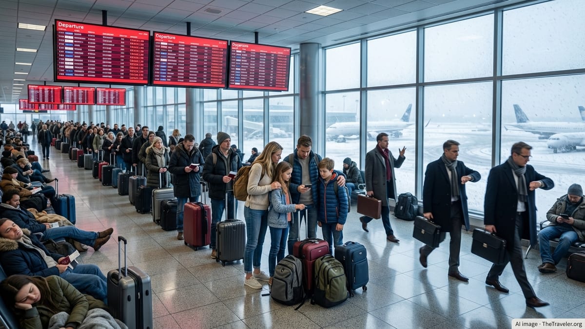
Published airline and airport notices for the current week do not yet show widespread cancellations, but experience from past Pacific hurricanes indicates that operations can change quickly once winds and heavy rain begin affecting approach paths and ground handling. Travelers with flights into coastal airports such as Zihuatanejo/Ixtapa, Lázaro Cárdenas, Manzanillo and Puerto Vallarta over the next several days are being advised in public guidance to monitor their carrier’s alerts closely.
Major carriers serving Mexico typically offer change-fee waivers when a hurricane threatens a destination; however, applicability depends on specific dates and routes listed in each airline’s advisory. As of the morning of September 23, some U.S. and Mexican airlines had begun issuing general weather waivers for parts of the Pacific coast, but detailed coverage may still be evolving as Polo’s track is refined.
On the water, cruise discussion forums and company emails shared by passengers indicate that several ships scheduled to call at Cabo San Lucas and other Pacific ports later this week are reviewing routes. Past storms in the region have prompted last-minute diversions to alternate ports or the substitution of extra sea days when tenders cannot safely operate in high surf.
Beachfront hotels from Guerrero north to Jalisco are publicly highlighting standard hurricane-season preparations, including securing outdoor areas and reinforcing coastal defenses where available. Guests can generally expect temporary closures of pools, beachfront bars and water activities when high surf and strong currents are present, even if the core of the hurricane remains offshore.
Guidance for U.S. Citizens in Affected Regions
Travel advisories and general hurricane guidance directed at U.S. citizens emphasize the importance of staying informed through official forecast products and local civil protection announcements. Travelers already in coastal zones are urged to identify their accommodation’s severe-weather procedures, confirm how to receive updates in both Spanish and English, and follow any locally issued evacuation or shelter instructions.
Standard recommendations for visitors in hurricane-prone areas include maintaining a supply of drinking water and nonperishable food for at least 24 to 48 hours, keeping mobile phones and battery packs fully charged in case of power cuts, and securing travel documents and emergency cash in waterproof containers. Hotels in major resort cities often maintain backup generators, but smaller guesthouses and rental properties may be more vulnerable to outages.
Publicly available security guidance also notes that Americans should keep family or friends in the United States informed about their location and itinerary, particularly if staying in more remote coastal or mountain communities. Registration in government traveler enrollment programs can facilitate the receipt of email or text alerts when storm conditions change or transport disruptions escalate.
Planning Ahead as Polo’s Forecast Evolves
Forecast models as of September 23 indicate that Hurricane Polo is likely to remain offshore but uncomfortably close to Mexico’s Pacific coastline for at least the next 36 to 48 hours, before gradually turning away from land. Meteorologists caution in published commentary that even small shifts in track could alter which regions experience the most severe winds, rainfall and coastal flooding.
For Americans with imminent trips to the affected states, travel specialists recommend reviewing cancellation and change provisions on flights, hotels and tours, and weighing whether to delay arrival until after the primary window of hazardous weather has passed. Those planning cruises along the Mexican Riviera in late September are being told through company communications to expect potential last-minute port changes as operators prioritize safety.
Even in scenarios where Polo never makes landfall, beaches along a broad stretch of Mexico’s Pacific coast are projected to experience very rough surf and strong rip currents. Travelers who decide to proceed with their trips are encouraged by safety advisories to heed all local beach-closure signs, avoid swimming in heavy surf and keep a safe distance from waterfront promenades, rocks and jetties when large waves are breaking.