


More news on this day
Severe thunderstorms sweeping across the Northeast and Mid-Atlantic on Tuesday have thrown the U.S. air travel system into turmoil, with roughly 6,500 flights canceled or delayed as major East Coast hubs struggle to keep operations running.
Get the latest news straight to your inbox!
Storm Line Stalls Over Key Northeast Hubs
A slow-moving band of strong thunderstorms moved along the Interstate 95 corridor on July 21, focusing the worst conditions over New York City, New Jersey and southern New England. Radar imagery and regional forecasts indicate repeated waves of lightning, torrential rain and low cloud ceilings, conditions that are particularly disruptive for the dense traffic patterns serving the nation’s busiest airspace.
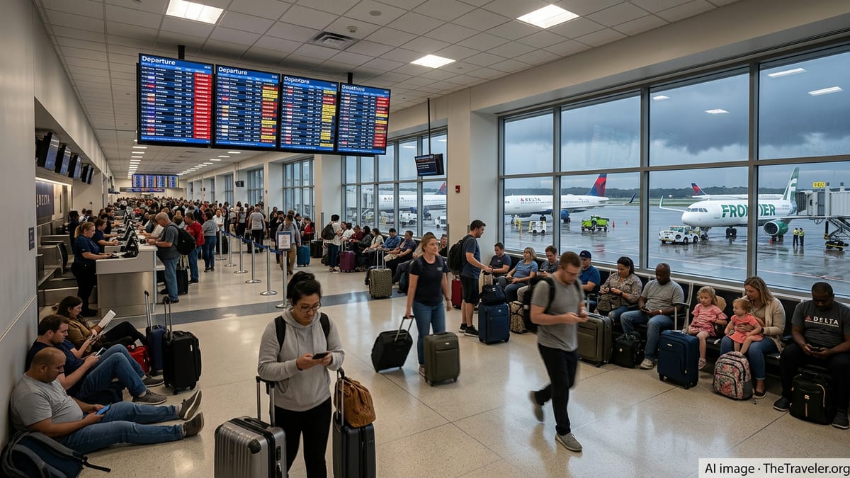
New York City’s airports have been among the hardest hit. Publicly available flight-tracking data show that more than a quarter of scheduled departures at LaGuardia were canceled by late afternoon, with hundreds more flights delayed at John F. Kennedy International and Newark Liberty International. Reports from airline and travel industry outlets describe check-in halls crowded with passengers rebooking trips as departure boards fill with red and yellow alerts.
The problems are not limited to New York. Published coverage notes significant disruption at Boston Logan International, Philadelphia International, and Washington area airports including Reagan National and Dulles, where thunderstorms upstream force air-traffic managers to meter arrivals and departures for safety. These constraints, combined with earlier rounds of storms over the weekend, have contributed to what travelers describe online as rolling delays stretching into multiple days.
Federal aviation system advisories reflect the strain. National Airspace System updates list weather-related traffic management initiatives affecting large portions of the Northeast corridor, including ground delay programs and rerouting measures designed to reduce congestion in storm-impacted sectors.
Ripple Effects Across the National Network
While the worst weather is concentrated on the East Coast, the impact on air travel extends far beyond the storm line. Because many transcontinental and international routes depend on aircraft and crews cycling through New York, Boston, Philadelphia and Washington, the loss of even a few peak-hour departure banks can ripple quickly across the country.
Flight-tracking dashboards show disruptions spreading into Midwestern and Southern hubs as aircraft scheduled to arrive from the Northeast fail to depart on time. Travelers in cities with clear skies are reporting daylong delays or last-minute cancellations as airlines attempt to reposition aircraft and crew to cover gaps created by repeated weather holds.
Airlines have begun posting broad travel waivers for affected regions, allowing customers booked to or through key East Coast airports to move trips to later in the week without change fees or additional fare in many cases. Industry reports highlight waivers at major carriers covering all three New York airports along with Boston, Baltimore, Washington, White Plains and Philadelphia, underscoring the regional scope of the disruption.
The combined tally of cancellations and delays has climbed to about 6,500 flights within, into or out of the United States, based on aggregated data from large flight-tracking platforms. That volume places Tuesday among the more severe single-day summer weather events in recent years, echoing earlier storm-driven meltdowns that strained airline schedules and traveler patience.
Travelers Face Long Lines, Limited Options
For passengers, the operational statistics translate into long queues, missed connections and last-minute changes of plan. Photos and firsthand accounts shared on social media platforms describe crowded gate areas at East Coast hubs as travelers wait for weather holds to lift or for reassigned crews to arrive from other cities.
Many affected passengers appear to be leisure travelers on peak-season itineraries, including family trips, weddings and international vacations carefully timed around school and work schedules. When flights are canceled outright, travelers often find that remaining seats later in the week are scarce or significantly more expensive, especially on routes heavily dependent on the Northeast corridor.
Publicly available consumer guidance from transportation regulators emphasizes that when a flight is canceled and a passenger chooses not to travel, they are generally entitled to a cash refund rather than a voucher, even when the cause is weather. However, airlines are not required to provide hotels or meal vouchers for weather disruptions, leaving many travelers to cover unexpected overnight costs themselves when rebooking stretches into the next day or beyond.
Some passengers are turning to alternative airports and modes of transport. Reports from regional media and online forums indicate travelers repositioning by train or car between Boston, New York, Philadelphia and Washington in hopes of catching less-disrupted flights from secondary airports or simply completing shorter journeys entirely by rail or road.
Airlines and Controllers Work Within Weather Limits
The storms are arriving during one of the busiest stretches of the U.S. summer travel season, when airlines are already operating at high load factors and with limited spare capacity. Industry analyses published over the past year have noted that the combination of tight schedules, full flights and lean spare aircraft reserves can turn a regional weather event into a nationwide operational challenge.
Air-traffic management bulletins show that controllers are balancing safety requirements with efforts to keep some traffic flowing through the affected airspace. Measures include holding departures on the ground at origin airports until arrival slots open up in the Northeast, imposing spacing requirements between aircraft in storm-impacted corridors, and rerouting flights around the most intense precipitation and lightning cells. These steps reduce the risk posed by severe weather but also significantly cut the number of planes that can move through key choke points at any given time.
Airlines, in turn, are adjusting schedules in real time. Publicly posted operational updates describe the consolidation of lightly booked flights, the proactive cancellation of evening departures most likely to be affected by lingering storms, and the strategic use of larger aircraft on select routes to accommodate displaced passengers. Even with those measures, many customers are being asked to accept downgraded cabin classes, alternate routings or next-day departures as carriers work through backlogs.
Aviation analysts point out that staffing and equipment constraints limit how quickly airlines can recover once the weather improves. Crews must comply with federal duty-time limits, and aircraft require routine inspections and maintenance checks that cannot be skipped, even when demand for seats is high. As a result, some residual disruptions are expected to continue into Wednesday, particularly for early-morning flights that rely on aircraft and crews still out of position at the end of Tuesday’s operations.
What Passengers Can Expect in the Next 24 Hours
Forecasts suggest that the most intense thunderstorms will gradually shift offshore or weaken overnight, but scattered cells may linger along the coast into Wednesday morning. Even if skies clear quickly, experience from previous severe-weather episodes indicates that it can take a full day or more for schedules to fully stabilize, especially at the most congested airports.
Travel advisories from airlines and aviation agencies recommend that passengers scheduled to fly into or out of the Northeast through Wednesday evening monitor their flight status frequently and consider adjusting plans if they have flexibility. Early-morning departures on Wednesday may operate more reliably if overnight storms dissipate on schedule, while late-afternoon and evening flights remain at higher risk should new storms redevelop in the heat of the day.
Air travel observers note that summer thunderstorm patterns over the eastern United States have produced several multi-day disruption episodes already this season, and that the current system is part of a broader trend of volatile warm-season weather affecting transportation. For travelers, that reality is translating into a growing expectation that backup plans, travel insurance and generous connection times are no longer optional when flying through major East Coast hubs.
With peak summer holidays still underway, the combination of strong demand and weather-sensitive operations suggests that even as Tuesday’s snarls slowly unwind, the nation’s busiest air corridor will remain vulnerable to renewed disruption with the next round of storms.