
More news on this day
As Kolkata’s metro system expands across the metropolitan area, the city map is being redrawn in real time, changing how residents, commuters and visitors understand distance, neighbourhoods and daily travel.
Get the latest news straight to your inbox!
A Historic City Reoriented Around Rail
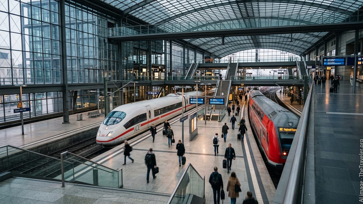
Kolkata has long been mapped in relation to the Hooghly River, the colonial-era business district and tram or bus corridors, but recent growth of the metro network is creating a new mental map of the city. Publicly available information shows that the system, which began service in 1984 as India’s first metro, now links the old urban core with rapidly developing suburbs, the airport and the eastern IT belt.
The traditional north–south axis from Dakshineswar to the southern suburbs is still visible on schematic maps, yet newer lines have introduced strong east–west and diagonal connections. City transport overviews indicate that the wider metropolitan region has more than 4,000 kilometres of roads, but surface congestion and slow average speeds have pushed more travellers underground. For many daily users, the coloured metro grid is now the primary way to visualise the city.
Urban mobility studies note that tram corridors and major bus routes once defined how neighbourhoods were grouped together on printed maps. Today, interchange stations such as Esplanade, Sealdah and New Garia function as the key reference points. The result is a gradual shift from a river-and-road based sense of place to a node-based view structured around metro hubs.
New Lines, New Landmarks on the Map
Independent metro guides and route planners published in 2025 and 2026 highlight five operational lines, with additional corridors under construction that are set to extend the network further into the eastern and southern fringes. These maps show an increasingly dense grid, especially where east–west services meet the historic north–south line in the central business district.
One of the most striking map changes is the depiction of the underwater stretch beneath the Hooghly, which created a fast cross-river link between Howrah and central Kolkata. Cartographers now treat the river not as a boundary but as a corridor, with the tunnel marked prominently to signal that the metropolitan area functions more as a single connected zone.
Airport access is another emerging anchor. Recent extensions toward the northeastern corridor position the terminal as a key node rather than a peripheral point. Planning documents and transport blogs suggest that as more sections open, the airport is expected to appear on city maps as a central interchange between multiple lines, reinforcing its role as a regional gateway rather than an end-of-line outpost.
From Paper Plans to Digital Navigation
The way travellers interact with the Kolkata city map is also shifting from paper diagrams to digital tools. Route-planning websites dedicated to the metro now provide schematic maps, live service updates and station-by-station fare details, giving visitors a level of clarity that older pocket maps could not offer.
Reports indicate that the official network diagram has sometimes lagged behind construction progress, leading independent designers and enthusiasts to publish updated versions online. In recent months, local forums have hosted discussions critiquing proportions, station labels and interchange symbols on different versions of the metro map, underlining how important clear cartography has become to users.
Navigation apps increasingly combine metro lines with buses, auto-rickshaw stands and walking paths, allowing users to overlay multiple modes on a single digital city map. For tourists exploring the old quarters around B.B.D. Bagh or College Street, this means metro exits can now be matched to heritage walking routes and riverfront promenades with far greater precision.
Heritage, Density and Planning Challenges
As the metro grid spreads, planners and researchers are watching how it interacts with Kolkata’s dense historic fabric. Academic assessments of urban transport note that many of the new alignments run beneath tightly packed neighbourhoods where road widening is difficult, making underground corridors a practical way to add capacity without large-scale demolition.
The city’s layered heritage, however, complicates how new infrastructure appears on the map. Conservation groups and local historians have called for station areas to be mapped with references to nearby landmarks, from colonial-era architecture to markets and religious sites, so that wayfinding supports cultural tourism as well as fast commuting.
Recent policy reports on climate and air quality frame the expanding metro network as a central tool for reducing emissions from private vehicles and ageing bus fleets. In these documents, schematic diagrams of future lines are used not only as transport maps but also as planning tools, marking potential transit-oriented development zones where higher-density housing and commercial activity could cluster around stations.
A City Map in Constant Revision
With new stretches continuing to open and further extensions approved, cartographers expect that Kolkata’s official and unofficial city maps will remain in flux for several years. Each additional link alters perceived distance, shortening travel times between districts that once felt far apart and changing the attractiveness of residential and commercial locations.
Travel data shared through public reports show rising ridership, suggesting that more residents are reorganising daily routines around metro timetables. For many households, decisions about work, education and leisure now look first to the coloured lines of the metro diagram before to the older bus and road network.
For visitors arriving in the city, guidebooks and tourism portals increasingly present Kolkata through the lens of its metro map, recommending itineraries that follow rail corridors from the riverfront to the lake district and onward to the technology parks. As the grid tightens and more stations are added, the metro diagram is likely to become the primary symbol of Kolkata’s urban identity, joining the river and the colonial skyline as defining features of how the city is seen and experienced.