


More news on this day
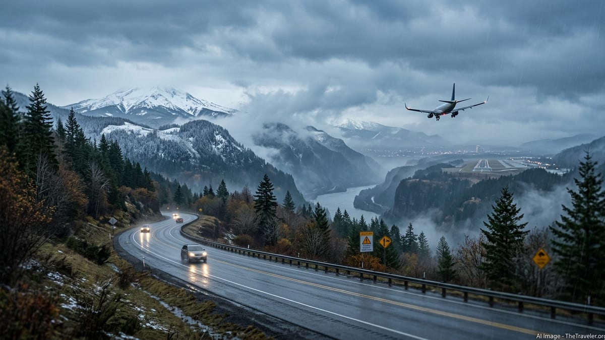
Government forecasters are warning that a corridor of Pacific storms, including at least one atmospheric river, is poised to bring heavy coastal rain, mountain snow and periods of strong wind to the West Coast around Thanksgiving, raising the risk of travel disruption for people driving or flying into and through Oregon from roughly November 20 to 24 and potentially through the broader November 22 to 29 holiday week.
Get the latest news straight to your inbox!
What NOAA outlooks are signaling for Oregon and the West
The National Weather Service’s Weather Prediction Center medium-range hazards outlook for November 20 to 24 highlights heavy rain along the western Oregon and northern California coast and heavy mountain snow and wind across parts of the western United States. Forecasters describe an active Pacific storm track with deep moisture feeding into the region, consistent with an atmospheric river affecting the West Coast. These hazards are framed as probabilities rather than certainties and will be refined as each storm approaches.
Complementing that, the Climate Prediction Center’s November 23 to 29 outlook shows a moderate risk of heavy precipitation for the Pacific Northwest, particularly western Washington and Oregon, around November 24 to 25, suggesting that unsettled conditions could linger into the core Thanksgiving travel window. Together, these products indicate an elevated chance that both the early getaway period and some return trips may encounter impactful weather rather than a single, short-lived event.
Recent national coverage of the Thanksgiving forecast has focused on two main storm corridors: one stretching from central California to Washington state and another across parts of the South and East. For West Coast travelers, that means cities such as Portland, Seattle and San Francisco are among those highlighted for potentially soaking rain and nearby heavy mountain snow, without any guarantee of specific closures at this stage.
Road travel risks on key Oregon and West Coast routes
For drivers, the greatest weather-related risks in this pattern are expected over higher passes and exposed coastal stretches. In Oregon and far northern California, forecasters expect periods of heavy rain at the coast that can reduce visibility, create ponding on roads and send debris onto winding highways. Inland, colder air at elevation means the Cascades and Sierra Nevada are likely to see accumulating snow and gusty winds as individual systems move through.
Specific corridors that could be affected include Interstate 5 over the Siskiyou Summit near the California–Oregon border, Interstate 84 through the Columbia River Gorge and the Blue Mountains in northeast Oregon, and U.S. 26 and U.S. 20 over the Oregon Cascades. In past setups like the one outlined in current forecasts, these routes have been subject to chain requirements, reduced speeds and, at times, temporary closures for crashes or snow removal. At this point, however, no particular pass closure is forecast as a certainty and any winter storm watches or warnings will be issued closer to the onset of each event.
In Washington and California, similar concerns apply to mountain crossings into and out of the interior West and to stretches of coastal highway where strong onshore winds and heavy rain can bring down branches, cause isolated power outages and slow traffic. Travelers considering overnight drives should be aware that temperatures can drop quickly in mountain valleys between systems, allowing slush to refreeze and making early-morning travel more hazardous even after heavy precipitation tapers.
Potential impacts on flights into Portland and other hubs
The same series of Pacific systems could also affect aviation in and out of the Pacific Northwest and northern California. Low clouds, periods of moderate to heavy rain and gusty winds around frontal passages often prompt spacing delays or changes in runway configuration at major airports. For Thanksgiving week, forecasters and private meteorologists are watching airports such as Portland, Eugene and Medford in Oregon and Seattle and San Francisco along the broader storm track for an increased risk of weather-related delays rather than routine winter operations.
In Portland, local forecast discussions already note a shift toward a wetter, more unsettled pattern with periods of gusty winds over the coastal waters and Columbia River Bar as the first systems move inland. Similar patterns at this time of year commonly lead airlines to build in additional time for de-icing at smaller Northwest airports when snow levels briefly dip, or to adjust schedules if strong crosswinds develop. Exact timing of any delay-prone periods, however, remains uncertain and will only become clear within a couple of days of each individual storm.
Nationally, the same NOAA outlook suite points to another potential storm corridor from Texas to Florida and up parts of the East Coast closer to the holiday. For passengers connecting between West Coast cities and southern or eastern hubs, that raises the possibility of compounded delays in both directions, although airlines have not announced any widespread schedule changes beyond usual holiday planning.
What remains uncertain and how travelers can prepare
Despite the strong signals for an active pattern, several critical details are still unknown this far ahead of Thanksgiving. Forecast models and official outlooks cannot yet pinpoint exact snowfall totals on individual passes, the precise timing of the strongest winds at specific airports, or which days will see the worst road conditions in each state. Winter storm watches, warnings and more granular timing will come from local National Weather Service offices typically 24 to 72 hours before each impactful period.
Because of that uncertainty, forecasters and travel planners emphasize treating these NOAA products as risk guidance rather than a guarantee of shutdowns. Conditions may vary dramatically over relatively short distances, with coastal routes dealing mainly with heavy rain and urban flooding while higher elevations see snow and wind. Some travel windows between stronger systems are also likely, especially for flexible travelers able to shift their departure a day earlier or later.
Practical steps recommended by officials include checking local National Weather Service forecasts and discussions for your exact route, monitoring Oregon’s TripCheck and equivalent state transportation sites for road restrictions, and using airline apps or airport alerts to track evolving flight impacts. Building extra time into drive plans, carrying chains where required, topping up fuel before crossing remote passes and having a backup plan for an overnight stop can all help mitigate the risk. As new outlooks and watches are issued in the days before November 26, travelers heading into or through Oregon and the broader West Coast should review updated information and be prepared to adjust timing to take advantage of lower-impact windows between storms.