


More news on this day
Travelers flying in and out of the Northeast and the Gulf Coast on Tuesday, September 1, 2026, are facing a volatile mix of strong thunderstorms and tropical weather, with major U.S. carriers issuing travel waivers and federal aviation data pointing to mounting delays across the system.
Get the latest news straight to your inbox!
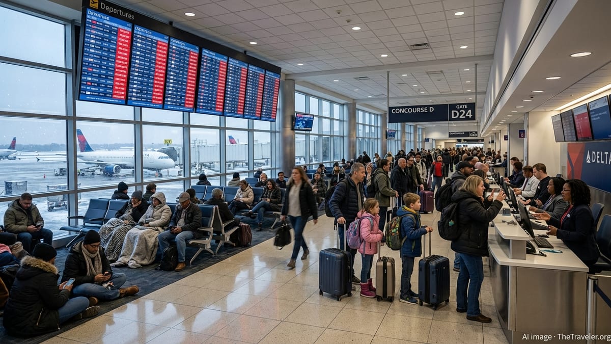
Storm Systems Target Key Aviation Hubs
Two separate weather systems are driving today’s air travel disruption. In the Northwest Gulf of Mexico, Tropical Storm Edouard is strengthening as it moves toward the Louisiana coast, bringing heavy rain, strong wind and the risk of storm surge along portions of the northwest Gulf Coast today, according to advisories from the National Hurricane Center.
At the same time, a moist, unstable air mass over the Northeast is fueling rounds of showers and thunderstorms, with the Weather Prediction Center highlighting heavy rainfall potential over parts of the region. Forecast discussions indicate that the same frontal boundary helping to focus storms in the Northeast is interacting with deep tropical moisture linked to Edouard, raising the risk of localized flooding and low cloud ceilings that can quickly trigger air traffic restrictions.
National Weather Service outlooks for major metro areas around New York City and Philadelphia flag thunderstorms and reduced visibility at times through the day, conditions that often force air traffic controllers to slow the rate of takeoffs and landings. That slowdown ripples far beyond the immediate storm zone, affecting flights from across the United States that are scheduled to connect through these heavily trafficked hubs.
Delays Mount at New York Area Airports
By Tuesday afternoon, federal flight operations dashboards were already showing significant delays at some of the country’s busiest airports. At Newark Liberty International, departure traffic was experiencing average delays of more than 90 minutes because of thunderstorms, according to the Federal Aviation Administration’s live airport status information.
Nearby LaGuardia was also under weather-related constraints, with FAA data listing average departure delays in the range of 45 minutes tied to convective storms in the New York terminal area. Air traffic advisories indicate that when storms move over departure and arrival corridors, controllers may implement ground delay programs or briefly halt arrivals, compounding congestion on the ground and in the air.
These slowdowns can quickly cascade. When aircraft and crews arrive late into New York, the effect is often felt hours later on flights heading to the Midwest, West Coast and international destinations. Historical storm events in the region have shown that even a few hours of strong thunderstorms at the wrong time of day can lead to widespread missed connections and rolling delays into the evening peak.
Gulf Coast Braces for Edouard’s Impact
Along the Gulf Coast, Tropical Storm Edouard is forecast to bring bands of heavy rain, tropical-storm-force winds and coastal flooding as it approaches the northwest Gulf shoreline today. Public advisories from the National Hurricane Center describe the potential for the storm to strengthen before landfall, with tropical storm warnings in effect for parts of the Louisiana and upper Texas coasts.
Rainfall outlooks from the National Weather Service’s Weather Prediction Center show a corridor of enhanced precipitation probabilities stretching from the northwest Gulf inland, raising concern about flash flooding near regional airports and along key approach paths. Even if sustained winds remain below hurricane strength, rapidly changing wind direction, wind shear and low clouds in rain bands can force airlines and controllers to space aircraft farther apart for safety.
Airports serving cities such as Houston, Lake Charles and New Orleans are accustomed to operating in tropical weather, but the combination of heavy rain and gusty crosswinds can still lead to runway closures, rerouted arrival paths and extended taxi times. If rainfall totals match the higher-end projections, localized flooding of access roads and airport perimeters could also slow the movement of passengers, ground crews and support vehicles.
Airlines Roll Out Waivers and Flexible Policies
In response to the evolving storm threat, major U.S. airlines have posted travel alerts and waivers for affected regions. Publicly available information indicates that carriers are allowing customers booked to or from airports in the New York metropolitan area on September 1 to change flights within a limited window without paying change fees or fare differences, provided they travel between specified alternate dates and keep the same origin and destination.
Similarly, airlines with large Gulf Coast networks have issued waivers for itineraries touching airports in the projected path of Edouard, covering travel dates around September 1 and 2. These waivers typically permit one-time rebooking onto earlier or later flights, subject to seat availability in the same cabin. Some also allow rerouting through alternative hubs to avoid the worst of the weather.
Travelers should read the fine print carefully. Waivers generally apply only to tickets issued by the airline, not to separate low-cost carriers or codeshare partners, and exclude basic economy fares in some cases. Published advisories often specify that the new flight must depart within a set rebooking window and that any changes outside that period will be subject to normal fare rules.
What Travelers Can Do if They Are Flying Today
For anyone flying into, out of or through the Northeast and Gulf Coast today, the most important step is to monitor flight status frequently. Real-time tracking services and airline mobile apps can show gate changes, aircraft positions and estimated departure times, often updating before overhead monitors in the terminal. When ground delay programs are in effect, departure times can shift repeatedly as new slots are assigned.
Travelers with flexible plans may want to take advantage of waivers to move their flights to earlier or later days, especially if they are connecting through New York, Houston or other high-traffic hubs. Changing a tight connection to a longer layover can provide a buffer against knock-on delays. Those who must travel today should build in extra time for security, boarding and potential gate changes and consider packing medications, chargers and essential items in a carry-on in case of extended tarmac waits.
Airlines typically encourage passengers to use digital tools to rebook rather than waiting in line at airport counters, particularly during widespread disruptions. In many cases, travelers can process same-day changes, stand-by requests or full reroutes through an app or website. If a flight is canceled, options may include automatic rebooking onto the next available flight, travel credits, or, in some cases, refunds under the carrier’s posted policies.
With the Atlantic hurricane season entering a historically active period and the Northeast in the midst of a stormy pattern, today’s disruptions may be a preview of more weather-related turbulence in the weeks ahead. Travelers planning fall trips that connect through storm-prone hubs may benefit from choosing midmorning departures, avoiding the last flight of the night, and considering refundable or flexible fares where possible.
Forbes: Airlines issue travel alerts and waivers amid storms
FAA: Current airport status and delay map
National Hurricane Center: Tropical Storm Edouard advisories
NOAA Weather Prediction Center: Heavy rain and hazards outlooks