


More news on this day
George Bush Intercontinental Airport in Houston is warning travelers to expect potential delays and cancellations as Tropical Storm Edouard tracks toward the upper Texas coast with heavy rain, strong winds and flooding concerns early this week.
Get the latest news straight to your inbox!
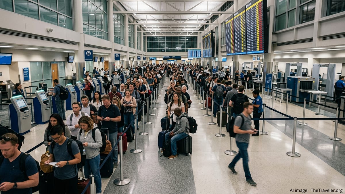
Storm Edouard aims at Southeast Texas travel corridor
Tropical Storm Edouard strengthened in the Gulf of Mexico and is moving west-northwest toward the upper Texas coast, with forecasters highlighting the Houston–Galveston region as a likely impact zone. According to published forecasts, the system is expected to approach the shoreline on Tuesday, bringing widespread rain bands and gusty conditions well inland, including over Houston’s two major commercial airports, George Bush Intercontinental (IAH) and William P. Hobby (HOU).([houstonchronicle.com](https://www.houstonchronicle.com/news/houston-weather/hurricanes/article/tropical-storm-edouard-houston-flood-wind-risk-22411866.php/?utm_source=openai))
National Weather Service guidance for the Houston area points to a period of locally heavy rainfall, tropical storm force gusts and hazardous marine conditions as Edouard nears land. Publicly available outlooks describe flash flooding as a primary threat, particularly in low-lying and poorly drained locations that often experience water ponding during strong Gulf systems.([weather.gov](https://www.weather.gov/hgx/?mystation=KIAH&utm_source=openai))
Travel industry coverage also notes the potential for Edouard to intensify further before landfall, with a hurricane watch posted for parts of the upper Texas and southwest Louisiana coasts. Even if the storm’s center comes ashore east of Houston, the metro area is positioned on the wetter side of the circulation, increasing the risk of disruptive squalls and brief tornadoes that can complicate airport operations.([travelerstoday.com](https://www.travelerstoday.com/articles/60928/20260901/tropical-storm-edouard-targets-houston-hurricane-watch-9-inch-rain-threat-tuesday-landfall.htm?utm_source=openai))
Early signs of disruption at George Bush Intercontinental
Federal aviation data for George Bush Intercontinental on Tuesday morning still showed relatively modest impacts, with general departure and arrival delays of 15 minutes or less in the early hours. However, those status pages emphasize that conditions can change rapidly as weather deteriorates and that passengers should check directly with airlines for flight-specific information.([fly.faa.gov](https://www.fly.faa.gov/fly/flyfaa/flyfaaindex?ARPT=IAH&p=0&utm_source=openai))
Air traffic management advisories from late August indicate that the nation’s airspace command center recently activated diversion recovery tools for Houston Intercontinental, a step used when large numbers of flights may need to be rerouted or recovered after significant disruption. While that advisory predates Edouard’s current approach, it underscores how quickly Houston’s hub airport can move from routine operations to complex recovery efforts when weather closes in on the region.([fly.faa.gov](https://www.fly.faa.gov/adv/adv_otherdis?adv_date=08282026&advn=132&utm_source=openai))
Airport status information published by federal authorities is designed to offer a snapshot of overall conditions rather than a comprehensive picture of each flight. As tropical rain bands expand over the metro area, even short ground stops or ramp closures for lightning can cascade into missed connections and rolling delays at a major connecting hub like Bush Intercontinental, which serves the broader Greater Houston market and links travelers to destinations across North America and overseas.([fly.faa.gov](https://www.fly.faa.gov/fly/flyfaa/flyfaaindex?ARPT=IAH&p=0&utm_source=openai))
What passengers flying through Houston should expect
As Edouard moves closer, travelers booked to depart or arrive at IAH are likely to encounter longer security lines, weather-related gate holds, and possible ground stops if wind gusts or lightning reach thresholds that temporarily halt ramp work. Experience from previous Gulf storms suggests that airlines may proactively trim schedules, consolidate flights or impose rolling delays to keep crews and aircraft positioned safely around the network.
Publicly available guidance from emergency management agencies stresses the risk of roadway flooding through midweek, which can make even routine trips to the airport significantly slower. Drivers heading to Bush Intercontinental, located roughly 22 miles north of downtown Houston and accessed via key corridors such as the Hardy Toll Road, Sam Houston Tollway and Will Clayton Parkway, may need extra time to navigate ponding and congestion near airport approaches.([tdem.texas.gov](https://tdem.texas.gov/disasters/tropical-storm-edouard?utm_source=openai))
Travel news outlets tracking Edouard note that, as of early Tuesday, broad weather waivers for Houston’s airports had not yet been widely published. That situation can shift quickly once airlines gauge the storm’s track and its likely impact on specific hubs. Passengers with flexible plans may ultimately see options to change flights or dates without fees once any formal waivers appear on carrier websites.([travelerstoday.com](https://www.travelerstoday.com/articles/60928/20260901/tropical-storm-edouard-targets-houston-hurricane-watch-9-inch-rain-threat-tuesday-landfall.htm?utm_source=openai))
Practical advice for flyers over the next 48 hours
In the short term, travelers are encouraged by publicly available advisories to monitor both their airline apps and official airport channels closely for updated departure times, gate changes and potential cancellations. Because federal airport status pages provide only general delay information, the most precise updates typically come from carriers’ own systems and text alerts.([fly.faa.gov](https://www.fly.faa.gov/fly/flyfaa/flyfaaindex?ARPT=IAH&p=0&utm_source=openai))
For those with flights later this week, rebooking to earlier time slots or choosing morning departures can reduce the risk of being affected by afternoon thunderstorms and saturated runways, which often intensify as tropical moisture peaks. Passengers arriving in Houston late at night during the storm window may want to have contingency plans for ground transportation if ride-share demand spikes or if localized flooding forces detours.([weather.gov](https://www.weather.gov/hgx/?mystation=KIAH&utm_source=openai))
Travelers connecting onward to coastal communities in Texas and Louisiana should also check the status of regional airports and highways, since Edouard’s heaviest impacts are expected near and east of the landfall zone. Published emergency management resources highlight the availability of 2-1-1 information lines and online tools for locating shelters and road closures, which can be critical for those whose plans intersect with evacuation zones or flood-prone areas.([tdem.texas.gov](https://tdem.texas.gov/disasters/tropical-storm-edouard?utm_source=openai))
Houston’s role as a critical air hub magnifies storm effects
George Bush Intercontinental is consistently ranked among the busiest airports in the United States, serving as a primary international gateway for Houston and a central connecting point for domestic traffic across the South and Midwest. Historical data on the facility’s operations show that it supports tens of thousands of jobs and contributes billions of dollars in economic activity to the region, amplifying the knock-on effects when tropical weather constrains its schedule.([en.wikipedia.org](https://en.wikipedia.org/wiki/George_Bush_Intercontinental_Airport?utm_source=openai))
With Houston Airports estimating millions of passengers moving through IAH and Hobby over peak travel periods this year, any prolonged disruption from Edouard could ripple well beyond Texas, affecting itineraries nationwide. Airlines may respond with rolling recovery efforts once conditions improve, adding extra sections, upgauging aircraft and repositioning crews to work through backlogs that develop while the storm is closest to the coast.([fly2houston.com](https://www.fly2houston.com/airport-business/newsroom/press-releases/item/1-3-million-passengers-to-fly-through-houston-during-memorial-day-weekend/?utm_source=openai))
For now, publicly available information portrays a region on alert rather than in full shutdown, but the window from late Monday into Wednesday will be pivotal for both the storm’s intensity and its precise impact on Houston’s air travel system. Passengers with imminent plans through Bush Intercontinental are being urged across travel and weather outlets to stay flexible, stay informed and be prepared for last-minute changes as Edouard nears land.([travelerstoday.com](https://www.travelerstoday.com/articles/60928/20260901/tropical-storm-edouard-targets-houston-hurricane-watch-9-inch-rain-threat-tuesday-landfall.htm?utm_source=openai))
National Weather Service Houston/Galveston tropical updates
FAA real-time status for George Bush Intercontinental (IAH)
Houston Airports official information for IAH and HOU
Texas Division of Emergency Management: Tropical Storm Edouard