


More news on this day
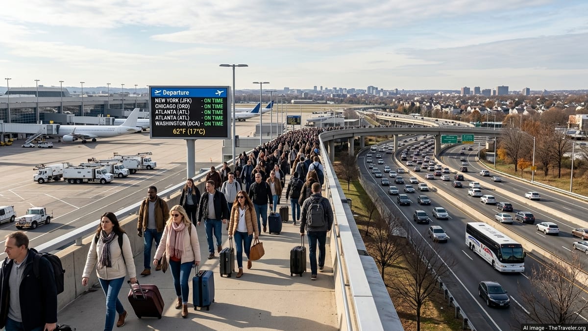
Unusually mild, mostly dry weather is forecast to expand across much of the eastern United States from mid to late November 2026, a shift highlighted by federal and private forecasters as a key factor likely to reduce weather-related disruption during the busy Thanksgiving travel period for airlines, highways and rail services.
Get the latest news straight to your inbox!
Core Outlook: Warmer Pattern Locked In Before Thanksgiving Rush
The single most important development for travelers is the strong agreement among major forecast centers that temperatures will run above normal across much of the eastern half of the country through the lead-up to Thanksgiving. The National Oceanic and Atmospheric Administration’s Climate Prediction Center (CPC) 6 to 10 day outlook, valid from November 17 to 21, 2026, favors above normal temperatures from the Mississippi Valley through the Great Lakes, Mid Atlantic and Northeast, with probabilities highest in the central and eastern United States.
NOAA’s broader November 2026 temperature outlook, updated in early November, similarly leans toward a warmer-than-average month across most of the eastern U.S., reflecting the influence of a strong El Niño and reinforcing signals from European and other global models. While these outlooks do not guarantee specific day-by-day conditions, they indicate a sustained tendency toward milder air rather than an extended early winter cold pattern during the key getaway window.
Private forecasters echo this theme. AccuWeather describes an “extended stretch of mostly dry weather” and a warming trend for much of the eastern U.S. north of Florida during the week starting Monday, November 16, noting that many locations have already seen significantly below average rainfall over the past month. Forecast discussions cited by national media also point to a transition away from the early November cold snap toward above average temperatures as Thanksgiving week approaches.
Regional Details: Where Warmth Helps Most, And Where Risks Remain
For travelers using major hubs from Atlanta and Charlotte to Washington, New York, Boston, Chicago and Detroit, the warmer pattern primarily means a reduced risk of widespread snow or ice-related disruption before and around Thanksgiving Day. Forecast charts from NOAA and other outlets indicate the strongest warm anomalies stretching from the Midwest and Ohio Valley through the Northeast and Mid Atlantic, with above normal readings also likely over parts of the Southeast.
Some forecasts suggest that daytime highs in cities such as New York, Philadelphia and Washington could run several degrees above late November averages, making road travel easier and limiting de-icing delays at airports, at least during the early part of Thanksgiving week. Weather coverage focused on the holiday period emphasizes that, while localized rain or a passing system cannot be ruled out, the overall setup looks more like a typical or slightly milder late November pattern rather than a major coast-to-coast winter storm.
Farther south along the Atlantic seaboard, however, the same pattern may bring specific localized concerns. AccuWeather highlights persistent onshore winds along portions of the Southeast and mid Atlantic coasts, which could raise coastal water levels and lead to minor coastal flooding or beach erosion even in otherwise quiet weather. For coastal routes and some airports near tidal waterways, this represents a limited but real risk that may not be obvious from temperature maps alone.
Dry Spell Benefits Travel, But Increases Other Concerns
A second important feature of the current outlook is dryness. Many eastern states have recorded less than half of their typical rainfall over the past 30 days, according to AccuWeather’s analysis, and the upcoming warm spell is expected to extend that deficit in several regions. For travelers, this tilt toward drier conditions is generally good news, as it reduces the likelihood of extended low cloud, heavy rain or wintry precipitation hampering the main highway corridors and large airports.
National and regional National Weather Service briefings for mid November describe a pattern of above normal temperatures combined with largely tranquil conditions across much of the central and eastern U.S. into the November 17 to 21 window. Some local forecast discussions, including those serving the New York metropolitan area, explicitly flag “dry and warmer through the week” before any potential rainmaker late in the weekend, giving airlines and ground transport operators a relatively stable environment for the initial holiday surge.
There are, however, tradeoffs. Continued dryness may worsen existing precipitation deficits and, in some inland areas, could modestly elevate fire danger or contribute to air quality issues from leaf and brush burning, although such impacts are expected to remain localized. Travelers planning outdoor holiday activities may find the weather more comfortable than average, but the same conditions may prompt local advisories related to burn bans, water use or air quality in certain communities.
What This Means For Airline, Road and Rail Travelers
For airline passengers, the projected mild and mostly dry pattern reduces the probability of widespread, weather-driven ground stops in the Eastern time zone during the immediate pre-Thanksgiving period. Federal officials have already indicated that air traffic systems affected by the nationwide ground stop on Friday, November 13, should be back to normal in time for the Thanksgiving rush, and the absence of a major storm in the latest meteorological guidance supports that expectation. However, forecasters and transportation agencies continue to caution that localized thunderstorms, low clouds or a late-developing coastal system could still disrupt operations at individual hubs.
On the roads, AAA estimates that more than 80 million people will travel at least 50 miles from home between Tuesday, November 24 and Monday, November 30, 2026, only slightly below last year’s volume. For these drivers, a warmer, mainly rain-free pattern across much of the eastern U.S. could translate into fewer weather-related accidents and shorter journey times compared with years marked by heavy snow or ice. Tools that draw directly on National Weather Service hourly forecasts already provide route-specific risk scores for key interstate corridors on the Tuesday and Wednesday before Thanksgiving, and current indications show relatively low weather risk across many eastern highways.
Rail passengers on corridors such as Amtrak’s Northeast Corridor and state-supported routes in the Midwest and Southeast could also benefit. Mild, stable conditions reduce the chance of weather-related speed restrictions, signal problems linked to storms, or snow and ice impacts on overhead lines and switches. Even so, system congestion, equipment issues and residual effects from earlier disruptions may still cause delays, so the improving weather should be seen as a helpful factor rather than a guarantee of smooth journeys.
Limitations, Uncertainties And How Travelers Should Prepare
Although the agreement between NOAA, commercial forecasters and seasonal outlooks lends confidence to a warmer and generally quieter pattern, all parties stress that these are probabilistic forecasts, not certainties. The Climate Prediction Center notes that its 6 to 10 day and 8 to 14 day outlooks express the likelihood of above or below normal conditions across a period, rather than predicting exact temperatures or precipitation for specific days such as Thanksgiving Day itself.
Several outlets also highlight the possibility of pattern adjustments as late November approaches. A shift in the jet stream, the timing of individual low pressure systems, or the placement of frontal boundaries could still introduce pockets of heavy rain, strong winds or even localized snow in parts of the Midwest or Northeast around the holiday. Some long range discussions suggest that colder air might return to parts of North America toward the end of November or early December, but that scenario remains uncertain and is not yet reflected as a high probability event for the main Thanksgiving travel window.
For travelers, the practical takeaway is to treat the current warm, dry outlook as favorable but to continue monitoring updated forecasts from the National Weather Service and reputable private providers within a few days of departure. Checking both the origin and destination forecasts, as well as en route conditions for road trips, will remain essential. Airlines, highway agencies and rail operators are expected to adjust staffing and operational plans based on the latest guidance, but individual passengers should still allow extra time at airports and on major interstates, since heavy holiday demand rather than the weather itself may be the main source of congestion this year.