


More news on this day
Thanksgiving 2026 travel across Washington state and the wider United States is being reshaped this week by a combination of a strengthening western cold front and the fallout from Friday’s nationwide Federal Aviation Administration ground stop, with forecasters warning of snow and mixed precipitation over major mountain passes just as AAA projects a slight dip from last year’s near-record holiday volumes.
Get the latest news straight to your inbox!
The central development: a busy holiday hit by cold and a rare ground stop
AAA’s national Thanksgiving forecast, released on November 16, projects about 81.5 to 82 million Americans will travel 50 miles or more from home between Tuesday November 24 and Monday November 30, 2026, a decline of around 0.1 percent compared with 2025. While still an extremely busy holiday period, the auto club says the small drop likely ends three straight years of record Thanksgiving travel that followed the pandemic recovery. The forecast was prepared in mid October, before a nationwide air traffic ground stop on November 13 temporarily halted most U.S. flights.
That ground stop, the longest of its kind in roughly 25 years according to federal officials, was triggered when new technology being added to the air traffic control system overloaded older components, causing intermittent communications and radar gaps. The FAA has since lifted the order and said flights are "back up and operational" ahead of the Thanksgiving rush, but it has cautioned that some lingering disruptions and schedule adjustments are possible as airlines work through displaced crews and aircraft.
At the same time, National Weather Service and federal forecast charts for this week show a strong cold front dropping south and east through the western interior of the United States, bringing areas of mixed precipitation and snow from the inland Pacific Northwest into parts of the Intermountain West. For Washington travelers, that combination of a colder airmass and heavy holiday volumes is expected to concentrate weather-related delays on key east west highway and rail corridors rather than in the milder lowlands around Seattle and the Puget Sound.
What the weather models say for Washington and nearby states
Short range graphical forecasts from federal meteorologists valid through Wednesday November 18 depict a pronounced frontal boundary pushing across the interior West, with a broad zone of snow and mixed precipitation stretching from Idaho and western Montana through Wyoming, Utah, Nevada and into northern Arizona. Parts of eastern Washington sit near the northern edge of that mixed precipitation shield, while western Washington remains mostly under rain and lower elevation showers as the colder air pools east of the Cascades.
Medium range outlooks from national climate centers for mid to late November had generally favored above normal temperatures across much of the Pacific Northwest, including much of Washington, Oregon and Idaho. However, forecasters and local meteorological discussions have been clear that a background signal for warmer conditions at the monthly scale does not rule out shorter cold snaps or individual snow events, especially at higher elevations. For Thanksgiving week itself, several long range products and commercial meteorology sites highlight an increased chance of colder than normal conditions and snow showers across the northern Rockies and the northern tier of states, including interior sections of Washington and neighboring regions.
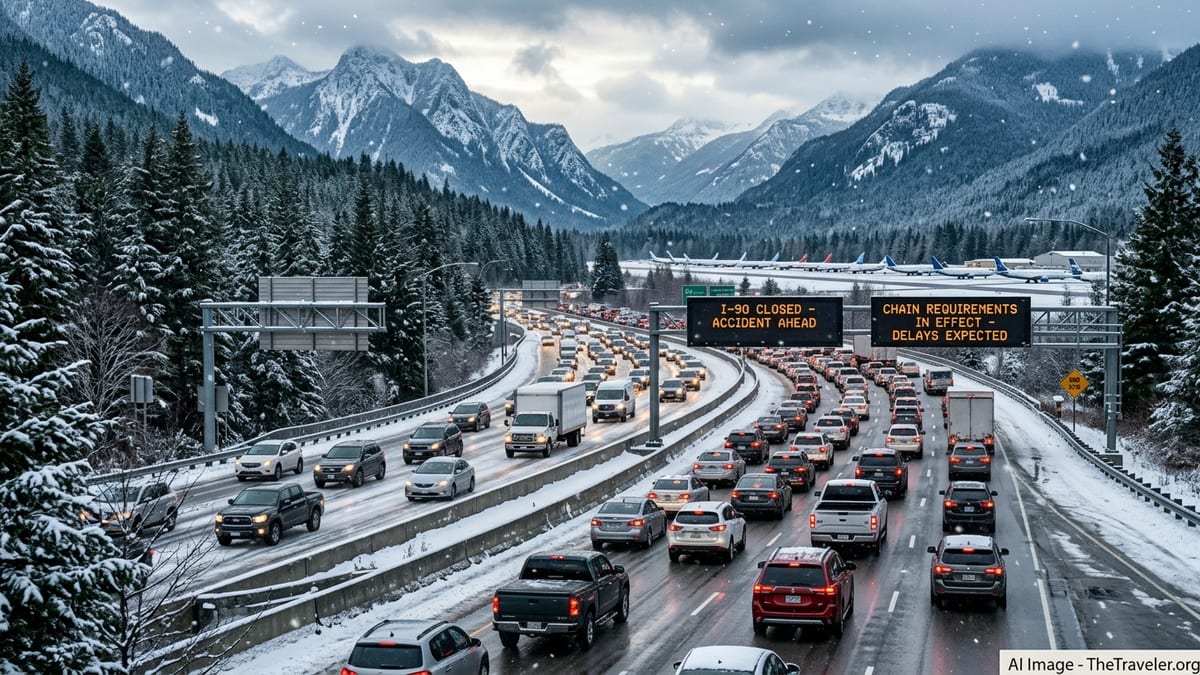
In practical terms, that pattern points to the familiar split for Washington travelers. Coastal cities and the Interstate 5 corridor from Olympia through Seattle to Bellingham are likely to see chilly rain and breezy conditions rather than deep freezes, while major passes such as Snoqualmie and Stevens remain vulnerable to bursts of snow, slush and reduced visibility. Forecast partners that synthesize federal model output for road travelers are already flagging Cascades crossings, together with routes such as Interstate 90 in Idaho and western Montana and Interstate 80 over the Sierra Nevada, as corridors where snow or wintry mix could bring chain controls, slower traffic and occasional closures during the extended holiday period.
How the ground stop and forecast cold affect Thanksgiving plans
For air travelers, the immediate impact of the November 13 ground stop was most acute on the day itself as thousands of flights were paused or delayed. In the days since, airlines and airports from Washington, D.C. to major hubs in the West have reported that scheduled Thanksgiving week operations remain largely intact, but they continue to work through aircraft and crew repositioning that could still ripple into some early holiday departures. The FAA has said that while it expects the system to be operating normally as the peak travel days approach, more localized disruptions cannot be ruled out, particularly if weather driven delays compound the recent system shock.
Against that operational backdrop, AAA’s slightly softer forecast suggests that while terminals and highways will still be crowded, some of the extreme peak conditions seen during the last three Thanksgivings may ease marginally. Nationally, car travel remains the dominant mode, with AAA estimating roughly 73 million trips by vehicle for the holiday period and a smaller but still substantial share by air and other modes. In specific states such as California, regional AAA clubs actually expect modest year on year growth, which indicates that any national dip is uneven and that some western gateways to and from Washington could still see heavier flows.
On the roads, the combination of typical Thanksgiving volumes and the developing cold front means that timing and route choice will carry more weight than in years when the weather is benign. Forecasts from commercial and federal sources consistently point to the days immediately before Thanksgiving, particularly Tuesday November 24 and Wednesday November 25, as the most congested on major interstates. When those busiest windows overlap with wintry conditions over mountain passes and high plains routes, travel times can lengthen sharply even without formal closures.
Practical implications for travelers in Washington and other affected states
For a traveler driving from Seattle to Spokane or further into the northern Rockies around the holiday, the most consequential factor is likely to be mountain pass conditions rather than temperatures in the cities themselves. Snoqualmie Pass and alternative crossings in the Washington Cascades regularly see early season snow around late November, and the emerging forecast for mixed precipitation in the broader interior West suggests a nontrivial risk of snow covered or slushy pavement, reduced visibility and temporary chain requirements. Even in the absence of a major winter storm, short bursts of heavy, wet snow can significantly slow traffic and increase minor collision risks when combined with heavy holiday volumes.
In other states tied into the same western storm track, similar dynamics apply. Drivers crossing higher stretches of Interstate 80 in the Sierra Nevada, Interstate 15 through portions of Utah and Montana, or north south routes connecting Colorado, Wyoming and the Dakotas may encounter periods of snow or freezing drizzle framed by otherwise dry conditions. Forecast products that translate federal model output into route based guidance have highlighted these specific road segments as worth monitoring closely between the start of the holiday window and the end of the weekend, especially for those towing trailers or driving larger recreational vehicles.
For those staying in or flying between lower elevation cities such as Seattle, Portland, Boise or Salt Lake City, the cold front’s impact is more likely to manifest as colder temperatures, gusty winds and rain rather than sustained snow at airport level. That pattern can still produce delays when low clouds, crosswinds or deicing operations slow the rate at which aircraft can land and depart, but airports in these cities are generally equipped to handle such conditions in late November. Travelers connecting through major hubs farther east should also be aware that any separate weather systems affecting the Midwest or Northeast could add further complexity independent of the western cold snap.
What travelers can do now as conditions evolve
With several days still to go before the busiest Thanksgiving departures, both the travel forecast and the weather outlook retain some uncertainty. AAA’s projections are based on booking, survey and economic data compiled in mid October, and actual traveler numbers could edge higher or lower depending on last minute decisions and the lingering psychological effect of the recent ground stop. Likewise, while multiple federal and private forecasts agree on a colder and more unsettled pattern for parts of the West, the precise placement and intensity of any snow bands over Washington’s passes and adjacent states will only become clear as updated model runs feed into daily National Weather Service briefings.
For travelers planning to cross the Washington Cascades or other western mountain corridors by road, the most practical step is to check the latest state transportation and federal weather updates in the 24 hours before departure and again on the morning of travel. That allows for adjustments such as leaving earlier in the day, choosing lower elevation routes where available, or shifting travel to a different holiday window if a short lived but intense burst of snow is forecast. Those flying into or out of major hubs should monitor airline apps or messaging channels for any lingering schedule changes tied to the ground stop recovery and to evolving weather systems, especially on the peak days immediately before and after Thanksgiving.
Because both the traffic and weather situations are dynamic rather than fixed, industry forecasts and official briefings emphasize flexibility rather than alarm. The core message from transport and meteorological agencies in the run up to Thanksgiving 2026 is that, while a strong cold front and the aftermath of a rare nationwide ground stop are adding complexity to an already busy travel week, most journeys can still proceed with manageable disruption if travelers remain attentive to updated guidance and allow extra time for the segments most exposed to snow and mixed precipitation.