


More news on this day
Chicago-area travelers are facing a stormy Sunday as a Flood Watch remains in effect through early afternoon, with periods of heavy rain and thunderstorms continuing to disrupt flight schedules at O’Hare and Midway.
Get the latest news straight to your inbox!
Flood Watch timing and what the forecast suggests
Publicly available National Weather Service information shows a Flood Watch continuing into Sunday, September 20, 2026, with the watch scheduled to run until 1:00 p.m. CDT in parts of the Chicago metro. The broader forecast outlook indicates showers and thunderstorms remain likely Sunday, with additional rain chances lingering into Monday.
The weather setup is familiar to anyone who has traveled through Chicago during late-summer storm cycles: repeated rounds of rain and lightning can produce brief, intense downpours that overwhelm poor-drainage streets and low-lying areas, even when the heaviest rain bands are narrow or fast-moving.
For travelers, the key is that the Flood Watch and thunderstorm chances are not just a city issue. Weather impacts often extend across the region and into airline networks, creating downstream disruptions for inbound aircraft and crew rotations.
How storms translate into delays at O’Hare and Midway
Flight disruptions typically accelerate when thunderstorms move close enough to require air traffic flow restrictions, ramp limitations, or temporary pauses to arrivals and departures. In Chicago, that can mean ground delays for arriving flights, ground stops during the most intense cells, and slower taxi and gate operations when lightning safety procedures are triggered.
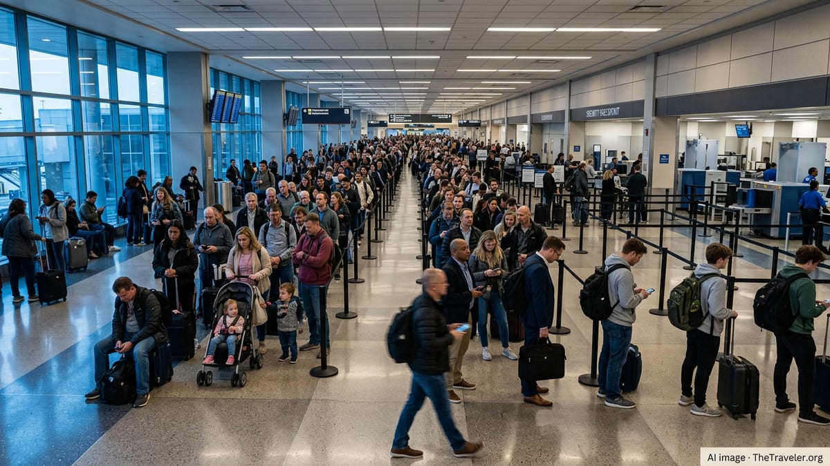
Published coverage from Chicago-area outlets over the weekend described widespread disruptions at O’Hare during the heaviest weather, including hundreds of cancellations. Reports also indicated Midway experienced cancellations as well, though generally fewer than O’Hare, with delays that could fluctuate quickly as thunderstorms redevelop or move off.
Travelers should expect that the most frustrating delays may not be the ones listed at booking time. Even after storms move through, late-arriving inbound aircraft can cascade into gate holds, crew legality issues, and missed connections.
What travelers can check right now before heading to the airport
Because conditions can change hour to hour, travelers are best served by checking multiple real-time sources before leaving for either airport. Airline apps remain the fastest way to confirm whether a specific flight is operating, delayed, re-timed, or canceled, and they often provide rebooking options as soon as a disruption is posted.
For a wider view, FAA airport status pages can indicate whether ORD or MDW are under traffic management initiatives such as ground stops or ground delay programs. Those tools do not predict your exact delay, but they help explain why departures from other cities may be held before takeoff when Chicago is congested.
Locally, Chicago’s airport operator provides live flight-tracking tools that display inbound and outbound movement around O’Hare and Midway with a short security delay. That can be a useful gut-check if you are deciding whether to head to the terminal early or to wait before traveling to the airport.
Practical rebooking strategies for Chicago connections
For passengers connecting through Chicago today, the most effective tactic is often to secure an alternative itinerary before lines form. If your schedule is flexible, earlier departures can reduce the risk of being caught in late-day thunderstorm redevelopment, though morning flights are not immune when storms arrive overnight or persist through midday.
If your trip involves a tight connection at O’Hare, consider whether your airline can reroute you through another hub or place you on a later nonstop if one exists. For travelers with a Chicago origin or destination, switching between airports may help in limited cases, but it depends on airline options and seat availability. O’Hare and Midway are not interchangeable for many itineraries, especially for international trips or carriers that operate primarily from one airport.
When hotels become necessary due to cancellations, travelers should review their fare rules and travel insurance benefits carefully. Weather disruptions are commonly treated differently from airline-controlled events, and coverage terms vary widely by policy and credit card.
What to expect through Sunday night and into Monday
Forecast information for Chicago continues to show a high probability of showers and thunderstorms Sunday, September 20, with cooler temperatures compared with Saturday’s highs and additional rain chances into Monday, September 21. Even if the most intense rainfall shifts away from downtown, convective storms can redevelop along boundaries and reintroduce lightning and heavy downpours with little lead time.
That uncertainty matters for aviation because airlines and air traffic managers must plan for the possibility of repeated restrictions rather than a single storm window. Travelers should anticipate rolling delays that may improve briefly and then worsen again as new storms form.
For anyone flying today, the safest planning assumption is that schedules will remain fluid. Keep notifications on, confirm baggage and connection plans early, and consider building extra time into pickups and onward travel from both O’Hare and Midway as storm impacts ripple across the region.