
More news on this day
Severe thunderstorms moving across the Houston area on Monday, June 15, prompted a ground delay program at George Bush Intercontinental Airport, slowing departures and contributing to a morning of disruptions for travelers at one of the nation’s busiest hubs.
Get the latest news straight to your inbox!
Ground Delay Issued as Storms Move Over Houston
Publicly available information from the Federal Aviation Administration on Monday listed George Bush Intercontinental Airport under a formal ground delay, a measure used to slow the flow of flights when weather reduces the capacity of an airport’s runways and airspace. Local broadcast coverage in Houston reported the program taking effect early in the morning, with delays projected to extend toward midday.
The ground delay was described as a response to clusters of thunderstorms and heavy rain tracking over the metro area. Regional forecasts on Monday highlighted the risk of downpours, lightning and pockets of stronger storms, prompting multiple weather-related adjustments across Houston, including outdoor event cancellations and warnings about street flooding in low-lying areas.
Under a ground delay program, aircraft bound for a specific airport are assigned controlled departure times from their origin, spacing out arrivals and easing pressure on approach corridors. For passengers at Bush Intercontinental, that translated into longer waits before boarding and pushback, and in some cases, later arrival times across the domestic network.
Early FAA planning data indicated average delays in the range of several dozen minutes for some flights, although impacts varied significantly by route and airline as the morning progressed.
Departures Slowed, Patchy Delays Across the Network
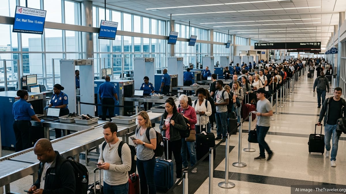
Real-time flight boards and tracking services for Bush Intercontinental on Monday morning showed a mixed picture: a number of early departures pushed back close to schedule, while others posted new departure times hours beyond their original slots. Some regional flights into smaller Texas and Gulf Coast markets, as well as short-haul services to nearby states, appeared among the first to reflect weather-related holds.
Arrivals into Houston also experienced knock-on effects. As thunderstorms passed near approach paths, some inbound services remained en route with minor additional holding, while others were rescheduled or delayed at origin airports waiting for updated departure clearances. For travelers making connections through Houston, those rolling changes introduced uncertainty about missed onward flights and potential itinerary changes throughout the day.
Airlines with large operations at Bush Intercontinental, particularly on domestic routes, often rely on tightly timed banks of arrivals and departures to facilitate connections. When thunderstorms cut into the number of takeoffs and landings that can be handled in a given hour, those banks become more difficult to maintain, and isolated delays can ripple outward to other parts of the network.
By midmorning, flight-status tools showed a pattern familiar to frequent Houston flyers during stormy weather: some flights departing roughly on time, others held at the gate pending departure slots, and select services re-timed to later in the day as operations adjusted to the evolving conditions.
Severe Weather a Persistent Challenge for Houston Aviation
The storm-related delays at Bush Intercontinental on June 15 reflect a broader vulnerability of Houston’s aviation system to intense weather. The region’s humid, Gulf-influenced climate supports frequent rounds of thunderstorms, especially in the warm season, and those storms can quickly disrupt air traffic when they intersect with major arrival and departure corridors.
Over recent years, federal statistics and industry analyses have consistently pointed to weather as one of the leading causes of flight delays in the United States, particularly at large hub airports. Thunderstorms can force controllers to increase separation between aircraft, temporarily close certain runways or arrival routes, or limit departures heading into the most active parts of a storm complex. Even when severe winds or hail do not materialize, heavy rain and lightning are enough to slow airport operations.
Houston has also seen episodes of extreme weather that had far greater impact than Monday’s storms, including past severe thunderstorm events measured at Bush Intercontinental with damaging wind gusts, and prolonged rain episodes that produced widespread flooding across Harris County. Against that backdrop, single-morning ground delay programs such as the one on June 15 have become a familiar, if frustrating, feature of travel for frequent flyers using the airport.
Airport planning and infrastructure projects in Houston increasingly account for both normal convective storm patterns and more intense extremes, aiming to keep taxiways, ramp areas and terminal operations resilient even when weather compresses airspace capacity.
Advice for Travelers Navigating Weather Disruptions at IAH
The latest disruption at Bush Intercontinental highlights several practical steps travelers can take when thunderstorms threaten Houston. Publicly available airline and airport guidance consistently stresses the importance of monitoring flight status frequently on days with unsettled weather, as departure times and gate assignments may change multiple times over a short period.
Travelers with early connections through Houston are generally encouraged to allow extra time between flights where possible, particularly during storm-prone months. For those starting their journey at Bush Intercontinental, arriving at the airport earlier than usual can provide a buffer if security lines lengthen or if boarding is brought forward to take advantage of short weather windows.
For international and long-haul passengers, delays in Houston can sometimes cascade into missed onward flights in other hubs, increasing the value of flexible tickets and rebooking options. Many carriers now provide app-based rebooking tools and proactive alerts when severe weather threatens a hub, allowing travelers to adjust itineraries before conditions deteriorate.
As Monday’s thunderstorms showed, even a few hours of reduced capacity at a major hub can reverberate across the broader air travel system. For passengers passing through Houston, building in flexibility and preparing for possible schedule changes remain among the most effective ways to cope with the city’s fast-changing skies.