


More news on this day
A series of Pacific storm systems is expected to bring rounds of rain, mountain snow and gusty winds to northwest Oregon and southwest Washington through Thanksgiving week 2026, coinciding with what AAA projects will be more than 81 million U.S. holiday travelers and raising the risk of delays on key road and air corridors.
Get the latest news straight to your inbox!
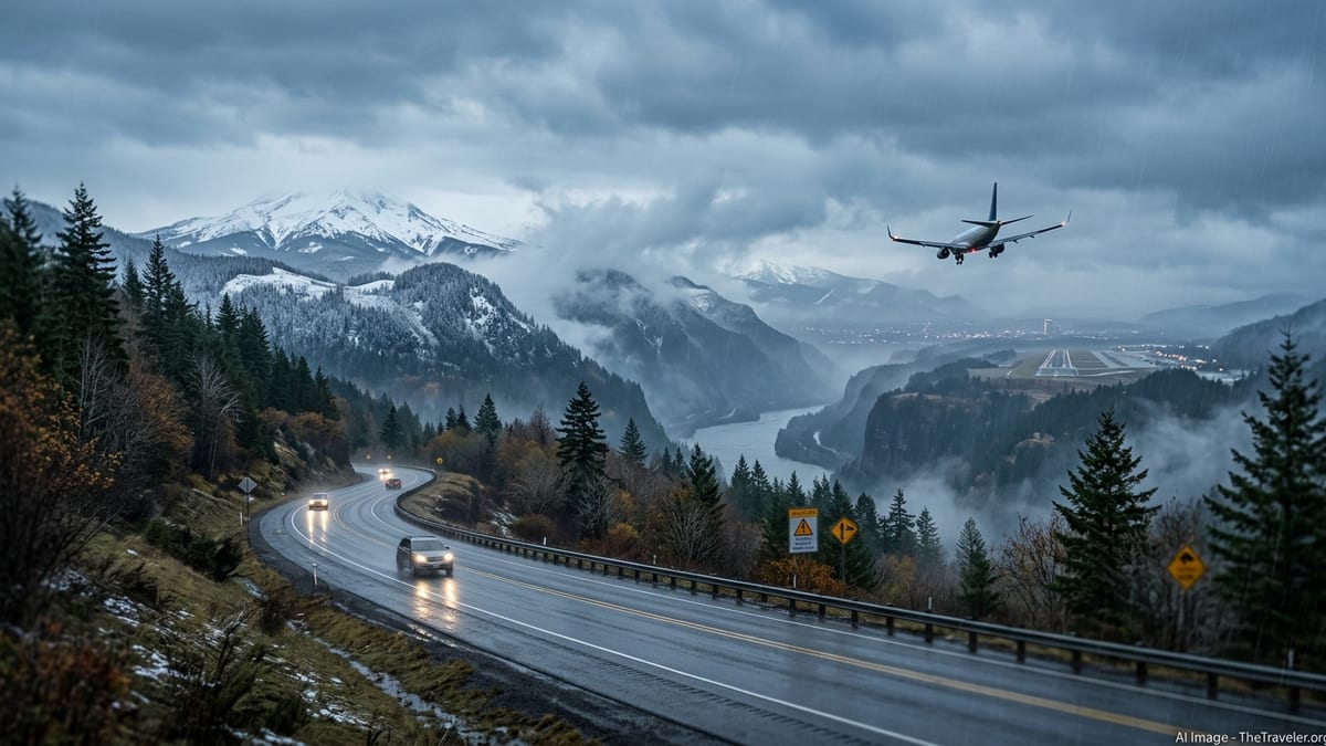
Wet Pattern Taking Hold Over Northwest Oregon and Southwest Washington
The National Weather Service office in Portland said in an Area Forecast Discussion early Saturday, November 21, that a wet Pacific pattern is taking hold across northwest Oregon and southwest Washington, with multiple frontal systems lining up through the coming week. The office expects repeated rounds of rain at low elevations and accumulating snow in the Cascades as this pattern persists into the Thanksgiving period.
Forecasters describe a progression of systems starting over the weekend and continuing through midweek, with each front bringing periods of rain, heavier showers and increasing winds, especially along the coast and over higher terrain. The discussion highlights a sustained, unsettled regime rather than a single major storm, with confidence highest in generally wet and breezy conditions lasting through Thanksgiving Day and the following Friday, while details such as exact snow levels and peak wind speeds remain subject to change.
Nationally, the Weather Prediction Center’s extended outlook on Saturday pointed to a broader wet pattern for Northern California and the Pacific Northwest early next week, along with a separate low-pressure system forecast to move up the East Coast that could bring rain, wind and some interior higher-elevation snow around Thanksgiving. These are still forecasts based on current model guidance, and meteorologists continue to adjust track and intensity expectations as new data arrive.
Heavy Holiday Traffic Magnifies Even Moderate Weather Impacts
AAA’s national Thanksgiving 2026 forecast, released November 16, projects about 81.5 million Americans will travel at least 50 miles from home between Tuesday, November 24, and Monday, November 30. The auto club expects the vast majority, roughly the low-80-million forecast rounded in some materials to “nearly 82 million,” to be on the roads, with peak highway traffic anticipated on the Tuesday and Wednesday before Thanksgiving and again on the Sunday and Monday afterward.
AAA regional releases indicate that tens of millions of travelers will be on the move in the western states alone, including an estimated 11 million or more from California, making key north–south and east–west corridors such as Interstate 5 particularly sensitive to any weather-related slowdowns. While the current storm pattern in Oregon and Washington is not being described by forecasters as record breaking, the overlap with these peak travel windows means that even routine bouts of heavy rain, low mountain snow and reduced visibility can quickly ripple into longer drive times and localized backups.
For air travel, the combination of Pacific systems early in the week and a potential East Coast storm closer to Thanksgiving raises the odds of weather-related delays at multiple hubs rather than a single concentrated hotspot. West Coast airports such as Portland, Seattle and San Francisco are vulnerable to low ceilings, gusty crosswinds and periodic heavier rain, while East Coast hubs from the mid-Atlantic into New England could encounter wind and precipitation impacts if the forecast coastal low strengthens as some model scenarios indicate.
Where Oregon and Pacific Northwest Travelers May See the Biggest Issues
In Oregon and southwest Washington, the primary concerns for road travelers center on the Cascade passes and coastal highways. The NWS Portland outlook notes accumulating snow at higher elevations through Thanksgiving week, which could affect passes such as Siskiyou Summit on Interstate 5 near the California border, as well as key east–west routes like U.S. 26 over the Coast Range and the main Cascade passes served by highways including U.S. 20 and Oregon 22. Forecasters caution that precise snow levels remain uncertain several days out, so whether a given pass sees wet pavement, slush or more impactful snow will depend on how individual systems evolve.
Lower-elevation travel, including the Interstate 5 corridor through the Willamette Valley and the Portland–Vancouver metro area, is more likely to face periods of moderate to heavy rain and brisk winds than wintry conditions. That can still reduce visibility, increase hydroplaning risk and slow traffic, particularly during the peak departure and return windows flagged by AAA. Farther west, the coastal U.S. 101 corridor is exposed to stronger onshore winds, brief heavy downpours and the potential for debris on the roadway, especially where saturated soils and gusts combine.
At this stage, there are no confirmed systemwide chain requirements, long-term pass closures or major weather-related travel restrictions in effect specifically for Thanksgiving week. Agencies such as the Oregon Department of Transportation and Washington State Department of Transportation will issue any chain controls, crash-related closures or flood advisories on a route-by-route basis as individual storm waves come through, meaning travelers will need to check conditions shortly before and during their trips rather than relying on early-week outlooks alone.
Separate East Coast Storm Could Complicate Cross-Country Itineraries
While the Pacific Northwest contends with its own succession of storms, attention is also turning to a developing low-pressure area near the Southeast and its projected track toward the Atlantic seaboard. Recent discussions from the Weather Prediction Center indicate that this system could evolve into a stronger coastal low and bring periods of heavy rain, strong onshore winds, rough surf and coastal flooding to parts of the Southeast and mid-Atlantic into early next week, then spread impacts toward the Northeast through Thanksgiving Day.
For travelers, that means cross-country itineraries connecting West Coast departures to East Coast arrivals may encounter two separate weather regimes along their routes as the week unfolds. Widespread, guaranteed flight cancellations are not being forecast at this hour, but forecasters and travel analysts note that even modest schedule disruptions at a few major hubs can propagate through the network during such a busy travel period, especially in the wake of the nationwide ground stop and other aviation infrastructure concerns seen earlier in November.
Amtrak and regional rail operators in the Northeast have not announced major Thanksgiving week weather disruptions or waivers tied specifically to this evolving storm pattern. Any changes are likely to be issued on relatively short notice if forecast confidence increases in stronger winds or heavy precipitation along key corridors, so passengers with fixed departure times around Thanksgiving Day should plan to monitor operator alerts closely as the East Coast forecast firms up.
How Travelers Can Track a Changing Forecast in the Days Ahead
Given the combination of a wet, multi-day storm pattern in the Pacific Northwest and a still-evolving coastal low on the East Coast, forecasters stress that details such as snow levels in the Cascades, localized wind maxima along the Oregon coast and the eventual strength and inland reach of the Thanksgiving Day East Coast storm remain uncertain several days out. Travelers planning to drive through Oregon or Washington are urged to check the latest National Weather Service forecasts for their specific zones, along with ODOT and WSDOT cameras, pass reports and any Winter Weather Advisories or Warnings, on the day of departure.
Drivers heading over Cascade or Siskiyou passes should be prepared for rapidly changing conditions, carrying tire chains where required by state law, building in extra time on the Tuesday and Wednesday before Thanksgiving and on the Sunday and Monday return, and considering alternate plans if conditions deteriorate. Those traveling along coastal U.S. 101 should be alert for standing water, localized flooding and potential debris following periods of stronger winds and heavy rain, especially at night or during high tide cycles.
Air travelers, particularly those connecting between the West Coast and East Coast, may want to arrive at airports earlier than usual on the busiest days and monitor airline apps and airport feeds for rolling delays as storms progress. As of November 21 there are no broad, pre-announced weather waivers or nationwide emergency declarations tied solely to this pattern, but major carriers often post route-specific waivers if confidence increases in more significant impacts. Over the next three to five days, keeping close watch on updated NWS outlooks, state transportation alerts and airline or rail notifications will be key to navigating Thanksgiving week travel as the storm pattern and its practical effects come into sharper focus.